- Whakapapa River
-
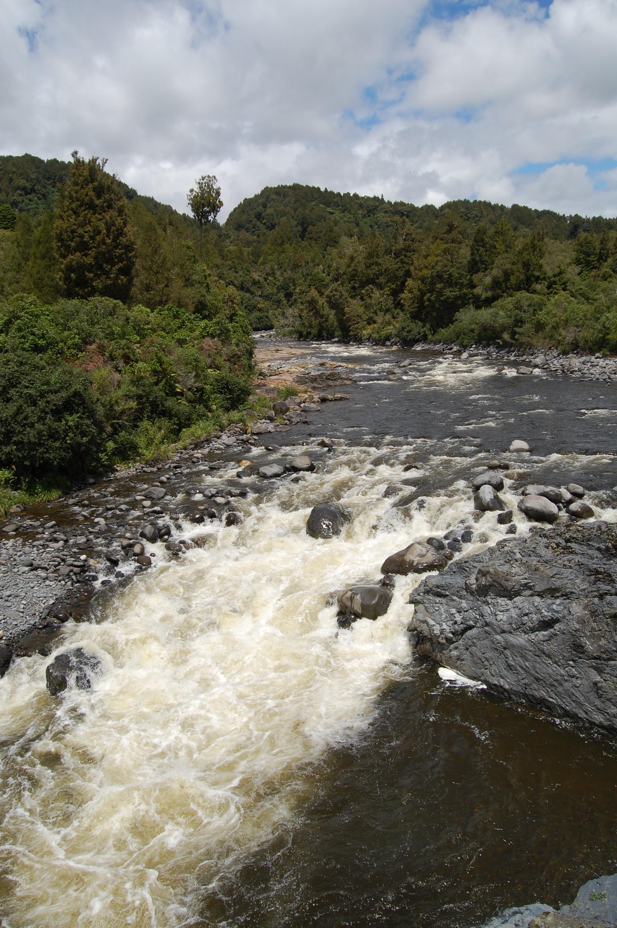
Whakapapa River 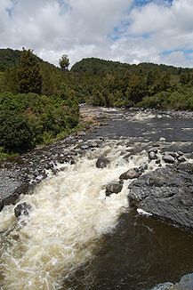
Whakapapa River bei Owhango
Daten Lage Manawatu-Wanganui (Neuseeland) Flusssystem Whanganui River Quelle Mount Ruapehu Mündung bei Taumarunui in den Whanganui -38.93012175.407908Koordinaten: 38° 55′ 48″ S, 175° 24′ 28″ O
38° 55′ 48″ S, 175° 24′ 28″ O-38.93012175.407908Länge 65 km Großstädte - Kleinstädte Taumarunui, Owhango Der Whakapapa River ist ein Wildfluss auf der Nordinsel Neuseelands. Er entspring am Mount Ruapehu im Tongariro Nationalpark und fließt ca. 65 Kilometer durch ein tief eingeschnittenes Tal. Er mündet bei Taumarunui in den Whanganui.
Freizeit
Der Whakapapa ist ein beliebter Fluss zum Kajakfahren, Rafting und Canyoning.
Weblinks
 Commons: Whakapapa River – Sammlung von Bildern, Videos und AudiodateienKategorien:
- Fluss in Neuseeland
- Fluss in Australien und Ozeanien
Wikimedia Foundation.