- Akyar
-
Akyar 
Hilfe zu Wappen

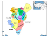
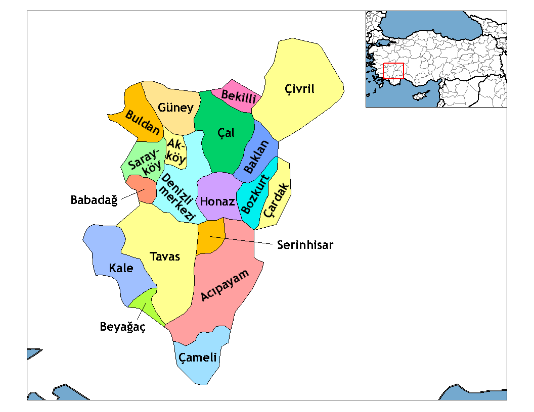
Basisdaten Provinz (il): Denizli Landkreis (ilçe): Tavas Koordinaten: 37° 37′ N, 29° 8′ O37.61270833333329.1376916666671170Koordinaten: 37° 36′ 46″ N, 29° 8′ 16″ O Höhe: 1.170 m Einwohner: 298[1] (2010) Telefonvorwahl: (+90) 258 Postleitzahl: 20500 Kfz-Kennzeichen: 20 Struktur und Verwaltung (Stand: 2010) Muhtar: Recep Ona[2] Akyar (früher Dellar) ist ein Dorf im Landkreis Tavas der türkischen Provinz Denizli. Akyar liegt etwa 34 km südlich der Provinzhauptstadt Denizli und 11 km nordöstlich von Tavas. Akyar hatte laut der letzten Volkszählung 298 Einwohner (Stand Ende Dezember 2010).
Einzelnachweise
- ↑ Türkisches Institut für Statistik, abgerufen 13. Oktober 2010
- ↑ Yerelnet.org, abgerufen 13. Oktober 2010
 Ortschaften im Landkreis Tavas
Städte/Kleinstädte: Baharlar | Çağırgan | Garipköy | Karahisar | Kızılca | Kızılcabölük | Nikfer | Pınarlar | Solmaz | Tavas | Ulukent
Dörfer: Akıncılar | Akyar | Alpa | Altınova | Avdan | Aydoğdu | Bahçeköy | Balkıca | Çalıköy | Çiftlikköy | Damlacık | Denizoluğu | Dereağzı | Derinkuyu | Ebecik | Gökçeler | Gümüşdere | Güzelköy | Hırka | Horasanlı | Kayaca | Kayapınar | Keçeliler | Kozlar | Medet | Ovacık | Pınarlık | Sarıabat | Seki | Sofular | Tekkeköy | Vakıf | Yahşiler | Yeşilköy | Yorga | Yukarıboğaz
Wikimedia Foundation.
Schlagen Sie auch in anderen Wörterbüchern nach:
Barrage d'Akyar — Géographie Pays Turquie Subdivision Ankara Coordonnées … Wikipédia en Français
Sevastopol — For other uses, see Sevastopol (disambiguation). Sevastopol Севастополь Aqyar View of Sevastopol … Wikipedia
United Nations Buffer Zone in Cyprus — UN Buffer Zone warning sign at the Ledra Palace crossing, Nicosia. The United Nations Buffer Zone in Cyprus runs for more than 180.5 kilometres (112.2 mi) along what is known as the Green Line and has an area of 346 square kilometres… … Wikipedia
Mersin — This article is about the city. For the province, see Mersin Province. Mersin City … Wikipedia
Osmaniye — Osmaniye … Wikipedia
Turkish exonyms — Below is a list of Turkish language exonyms for places outside of Turkey. Albania*Berat Arnavut Belgradı, Belgrad, Berat, Beraat, Beret *Durrës Dıraç, Draç, Duraç *Elbasan Elbasan, İlbasan *Fier Fier *Gjirokastër Ergiri, Eğrikasr, Ergiri kasrı… … Wikipedia
Strovilia — ( tr. Akyar) is a small village located right at the border of the de facto Turkish Republic of Northern Cyprus with the British Sovereign Base Area of Dhekelia. It is the site of a Green Line crossing.References … Wikipedia
Baharlar — Hilfe zu Wappen … Deutsch Wikipedia
Garipköy — Garipköy … Deutsch Wikipedia
Geschichte Sewastopols — Sewastopol (russisch und ukrainisch Севастополь) ist die größte Stadt der autonomen Halbinsel Krim, Ukraine. Inhaltsverzeichnis 1 Urgeschichte 2 Antike 3 Mittelalter … Deutsch Wikipedia
Akyar


18+
© Academic, 2000-2024
- Kontaktieren Sie uns: Unterstützung, Werbung
Wörterbücher Export, schritte mit PHP, Joomla, Drupal, WordPress, MODx.