- Ballygrant
-
Ballygrant Koordinaten 55° 49′ N, 6° 10′ W55.818333333333-6.1602777777778Koordinaten: 55° 49′ N, 6° 10′ W 

Ballygrant Verwaltung Post town ISLE OF ISLAY Postleitzahlenabschnitt PA45 Vorwahl 01496 Landesteil Scotland Unitary authority Argyll and Bute Britisches Parlament Argyll and Bute Schottisches Parlament Argyll and Bute 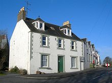 Gebäude in Ballygrant
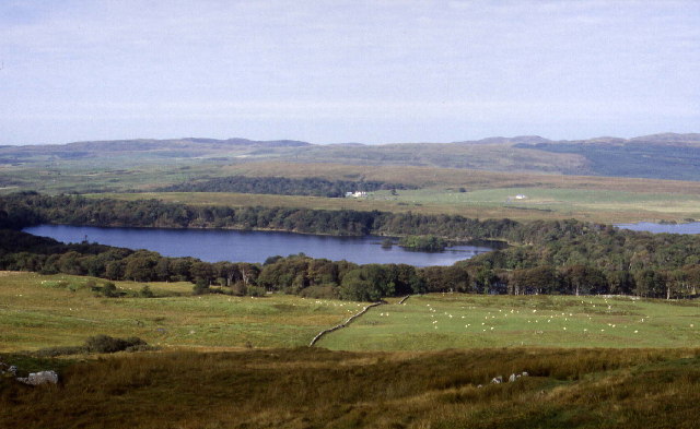
Ballygrant (gälisch: Baile a' Ghràna[1]) ist eine Ortschaft im Nordosten der schottischen Hebriden-Insel Islay. Sie gehört administrativ somit zur Unitary Authority Argyll and Bute. Ballygrant liegt an der Hauptstraße der Insel, welche die beiden Hafenorte Port Askaig und Port Ellen miteinander verbindet. Wenige hundert Meter östlich liegt Loch Ballygrant und etwa 1,5 km nördlich beginnen die Ufer des historisch bedeutenden Loch Finlaggan.[2]
Ballygrant war in der Vergangenheit Standort einer überregional bedeutenden Whiskybrennerei namens Lossit (teilweise auch als Ballygrant bekannt). Diese wurde im Jahre 1821 gegründet, jedoch schon 1860 wieder geschlossen. Die Lagerhäuser wurden anschließend noch einige Jahre lang von der nahegelegenen Brennerei Caol Ila genutzt.[3][4]
-
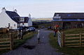
Lossit Farm
-
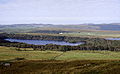
Loch Ballygrant
-

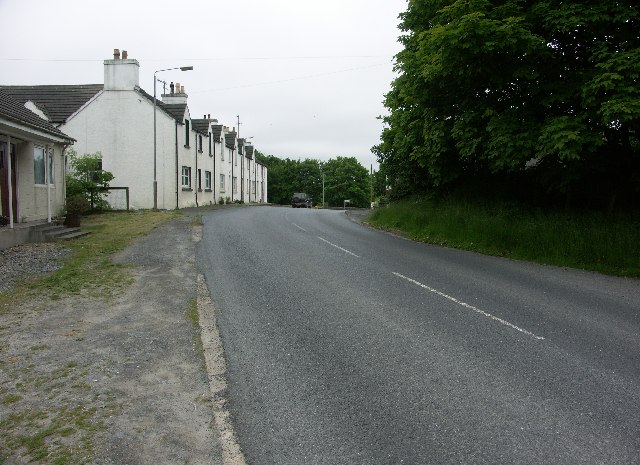
Hauptstraße durch Ballygrant
Einzelnachweise
Kategorien:- Ort in Argyll and Bute
- Islay
-


Wikimedia Foundation.