- Carrauntoohil
-
Carrantuohill 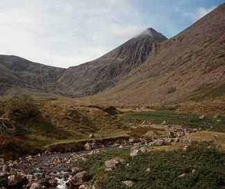
Carrantuohill und Hag's Glen
Höhe 1.041 m Lage County Kerry, Republik Irland Gebirge Macgillycuddy's Reeks Geographische Lage 51° 59′ 55″ N, 9° 44′ 33″ W51.998611111111-9.74251041Koordinaten: 51° 59′ 55″ N, 9° 44′ 33″ W 

Besonderheiten höchste Erhebung Irlands Der Carrantuohill (gälisch Corrán Tuathail) ist mit 1041 Metern die höchste Erhebung der irischen Insel. Er liegt im Südwesten der Insel im County Kerry und gehört zu den Macgillycuddy's Reeks.
Der Berg wird meist von Norden entlang Hag's Glen und über die steile wasserführende Devil's Ladder bestiegen, spezielle Gebirgsausrüstung ist nicht erforderlich. Trittsicherheit und gute Bergstiefel sind jedoch in der Devil's Ladder angebracht. Ein etwa fünf Meter hohes Metallkreuz ziert den Gipfel.
In den letzten Jahren ist die Aufstiegsroute durch lose Steine und Geröll gefährlich geworden. Die Wetterbedingungen sind wechselhaft. Bei Regen oder dichten Wolken ist ein Aufstieg gefährlich, da die Devil's Ladder dann viel Wasser führen kann und extrem rutschig ist. Wegen falscher Ausrüstung verunglücken Touristen gelegentlich tödlich.
Die Ordnance Survey of Ireland-Karten benutzen den Namen Carrauntoohil, auch die Schreibweise Carrauntuohill kommt vor.
Bilder

Carrantuohill von Hags Glen, links die Devil's Ladder
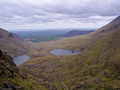
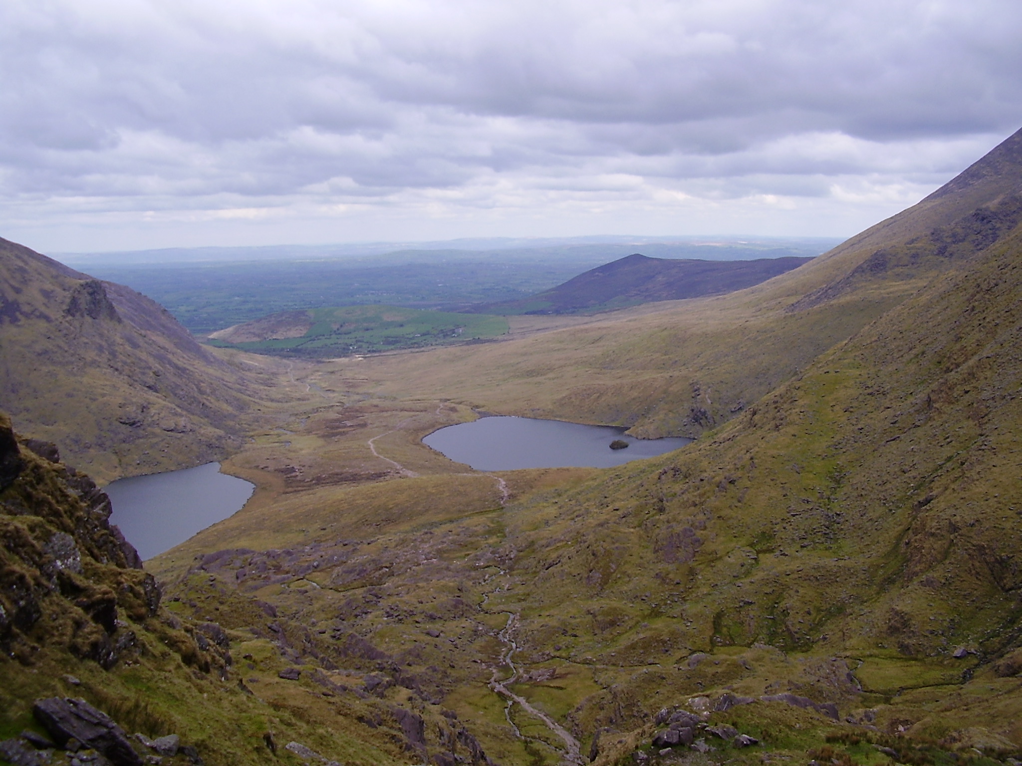
Hags Glen vom oberen Ende der Devil's Ladder, rechts Lough Callee, links Lough Gouragh


Wikimedia Foundation.