- Hozelec
-
Hozelec
Wappen Karte 

Hozelec BasisdatenKraj: Prešovský kraj Okres: Poprad Region: Tatry Fläche: 4,000 km² Einwohner: 862 (31. Dez. 2010) Bevölkerungsdichte: 215,5 Einwohner je km² Höhe: 695 m n.m. Postleitzahl: 059 11 Telefonvorwahl: 0 52 Geographische Lage: 49° 2′ N, 20° 21′ O49.03277777777820.345277777778695Koordinaten: 49° 1′ 58″ N, 20° 20′ 43″ O Kfz-Kennzeichen: PP Gemeindekennziffer: 523496 StrukturGemeindeart: Gemeinde Gliederung Gemeindegebiet: 2 Gemeindeteile Verwaltung (Stand: Juni 2011)Bürgermeister: Štefan Rakoci Adresse: Obecný úrad Hozelec
Hlavná 58
059 11 HozelecWebpräsenz: hozelec.webovka.eu Gemeindeinformation
auf portal.gov.skStatistikinformation
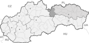
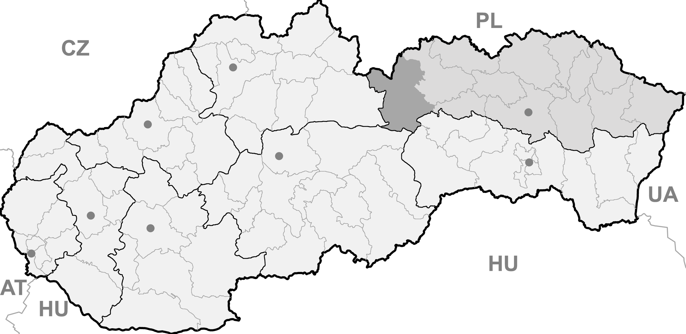
auf statistics.skHozelec (bis 1927 slowakisch „Hozolec“; deutsch Hohesalz oder Hoseletz, ungarisch Ószelec - bis 1907 Hozelec) ist eine Gemeinde im Osten der Slowakei, mit 862 Einwohnern (Stand 31. Dezember 2010). Sie gehört zum Okres Poprad, der ein Teil des übergeordneten Bezirks Prešovský kraj ist.
Geographie
Die Gemeinde liegt im Talkessel Podtatranská kotlina (Unter-Tatra-Kessel) in der traditionellen Landschaft Zips, zwischen den Bächen Gánovský potok und Hozelský potok, die zu zwei unterschiedlichen Einzugsgebiete: der erstgenannte gehört zu jenem der Ostsee, während der zweite zum Einzugsgebiet des Schwarzen Meers. Hozelec ist fünf Kilometer von Poprad entfernt.
Verwaltungstechnisch gliedert sich die Gemeinde in den Hauptort Hozelec und Ansiedlung Úsvit, die sich vier Kilometer nordöstlich von Hozelec befindet.
Geschichte
Der Ort wurde zum ersten Mal 1243 schriftlich erwähnt.
Gemeinden im Okres PopradBatizovce (Botzdorf) | Gánovce (Gansdorf) | Gerlachov (Gerlsdorf) | Hozelec (Hohesalz) | Hôrka (Horke) | Hranovnica (Grenitz) | Jánovce (Johannsdorf) | Kravany (Kuhschwanz) | Liptovská Teplička (Zeplitschke) | Lučivná (Lautschburg) | Mengusovce (Mengsdorf) | Mlynica (Mühlenbach) | Nová Lesná (Neuwalddorf) | Poprad (Deutschendorf) | Spišská Teplica (Teplitz) | Spišské Bystré (Kuhbach) | Spišský Štiavnik (Schawnig) | Svit | Štôla (Stollen) | Štrba (Tschirm) | Šuňava (Schönau) | Švábovce (Schwabsdorf) | Tatranská Javorina (Uhrngarten) | Veľký Slavkov (Großschlagendorf) | Vernár (Wernsdorf) | Vikartovce (Weigsdorf) | Vydrník (Wiedrig) | Vysoké Tatry | Ždiar (Morgenröthe)
Wikimedia Foundation.
Schlagen Sie auch in anderen Wörterbüchern nach:
Hozelec — (Village) Administration Pays Slovaquie … Wikipédia en Français
Hozelec — ( hu. Ószelec, de. Hohesalz) is a village and municipality in Poprad District in the Prešov Region of northern Slovakia.HistoryIn historical records the village was first mentioned in 1248.GeographyThe municipality lies at an altitude of 695… … Wikipedia
Poprad — For the river in Slovakia and Poland, see Poprad (river). For the airport, see Poprad Tatry Airport. Coordinates: 49°03′34″N 20°17′51″E / 49.05944°N 20.2975°E … Wikipedia
Prešov Region — Geobox | Region name = Prešov category = Region image caption = image caption = symbol = symbol type = etymology = official name = motto = nickname = country = Slovakia country state = region = district = commune = municipality = border = part… … Wikipedia
Vysoké Tatry (town) — Coordinates: 49°08′51″N 20°13′39″E / 49.1475°N 20.2275°E / 49.1475; 20.2275 … Wikipedia
Poprad District — District Country Slovakia Region (k … Wikipedia
Jánovce — Location of Jánovce within Slovakia. Jánovce (Hungarian: Szepesjánosfalva, German: Johannsdorf) is a village and municipality in Poprad District in the Prešov Region of northern Slovakia … Wikipedia
List of municipalities and towns in Slovakia — Slovakia This is a comprehensive list of municipalities and towns in Slovakia. For lists of towns and municipalities sorted by Regions see the individual articles on Regions. For an outdated list of towns only in Slovakia see also List of towns… … Wikipedia
Szepes (county) — Infobox Former Subdivision native name = conventional long name = Szepes County common name = Szepes subdivision = County nation = the Kingdom of Hungary p1 = s1 = year start = 11th century event end = Treaty of Trianon year end = 1920 date end … Wikipedia
Mengusovce — Location of Poprad District in the Prešov Region. Mengusovce (Hungarian: Menguszfalva, German: Mengsdorf) is a village and municipality in Poprad District in the Prešov Region of northern … Wikipedia
Hozelec

18+
© Academic, 2000-2024
- Kontaktieren Sie uns: Unterstützung, Werbung
Wörterbücher Export, schritte mit PHP, Joomla, Drupal, WordPress, MODx.