- Istebné
-
Istebné
Wappen Karte 
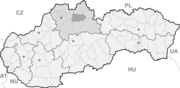

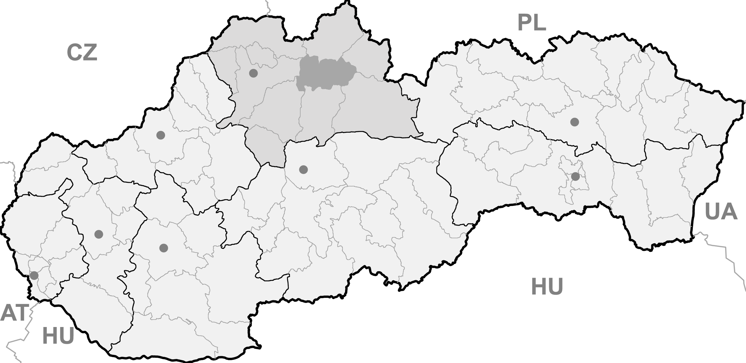
Istebné BasisdatenKraj: Žilinský kraj Okres: Dolný Kubín Region: Orava Fläche: 11,292 km² Einwohner: 1.412 (31. Dez. 2010) Bevölkerungsdichte: 125,04 Einwohner je km² Höhe: 501 m n.m. Postleitzahl: 027 53 Telefonvorwahl: 0 44 Geographische Lage: 49° 13′ N, 19° 13′ O49.21666666666719.219166666667501Koordinaten: 49° 13′ 0″ N, 19° 13′ 9″ O Kfz-Kennzeichen: DK Gemeindekennziffer: 509701 StrukturGemeindeart: Gemeinde Verwaltung (Stand: April 2011)Bürgermeister: Ján Čief Adresse: Obecný úrad Istebné
142
02753 IstebnéWebpräsenz: www.istebne.sk Gemeindeinformation
auf portal.gov.skStatistikinformation
auf statistics.skIstebné (ungarisch Isztebne) ist eine Gemeinde im Okres Dolný Kubín innerhalb des Žilinský kraj in der Slowakei.
Der Ort liegt im Tal des Flusses Orava (dt. Arwa) in der historischen Landschaft Orava, unterhalb den östlichsten Ausläufern der Kleinen Fatra und bei westlichen Enden der Oravská vrchovina und Oravská Magura.
Bei der Gemarkung Hrádok sind mehrere Funde, z. B. ein Silberschatz aus der Hallstattzeit sowie eine Befestigung der Puchauer Kultur nachweisbar. Der Ort wurde zum ersten Mal 1316 als Istebna schriftlich erwähnt. 1382 wurde der Ort der niederen Edelmanns-Familie Dávid zugewiesen, seit dem 18. Jahrhundert war er im Besitz der Familien Csillághy und Ambrozy. Der Ort selbst war eine landwirtschaftliche Gemeinde, trotz der nur wenig fruchtbaren Böden.
1952 wurde hier eine Hüttenfabrik gegründet, sie ist heute jedoch stillgelegt.
Zu den Sehenswürdigkeiten gehört ein barock-klassizistisches Landschloss aus dem 18. Jahrhundert, das heute Verwendung als ein Kinderheim findet, sowie eine evangelische Artikularkirche aus dem Jahr 1686. Vollständig aus Holz gebaut, sie wurde 1730 erweitert und zu ihr im 19. Jahrhundert ein allein stehender Glockenturm gebaut. Heute ist die Kirche nur eine von fünf verbleibenden Artikularkirchen.
Gemeinden im Okres Dolný KubínBziny | Dolný Kubín (Unterkubin) | Dlhá nad Oravou | Horná Lehota | Chlebnice | Istebné | Jasenová | Kraľovany | Krivá | Leštiny | Malatiná | Medzibrodie nad Oravou | Oravská Poruba | Oravský Podzámok (Unterschloss) | Osádka | Párnica | Pokryváč | Pribiš | Pucov | Sedliacka Dubová | Veličná | Vyšný Kubín (Oberkubin) | Zázrivá | Žaškov
Wikimedia Foundation.
Schlagen Sie auch in anderen Wörterbüchern nach:
Istebné — (Village) Administration Pays Slovaquie … Wikipédia en Français
Istebné — Geobox | Settlement name = Istebné other name = category = Village image caption = symbol = etymology = official name = motto = nickname = country = Slovakia country state = region = Žilina district = Dolný Kubín commune = municipality = part =… … Wikipedia
Dolný Kubín — Coordinates: 49°12′38″N 19°17′51″E / 49.21056°N 19.2975°E / 49.21056; 19.2975 … Wikipedia
Žilina Region — Geobox | Region name = Žilina other name = category = Region image caption = symbol = CoA Žilina Region Slovakia.png symbol type = Coat of arms etymology = official name = motto = nickname = country = Slovakia country state = region = district =… … Wikipedia
Dolný Kubín District — District Country Slovakia … Wikipedia
List of municipalities and towns in Slovakia — Slovakia This is a comprehensive list of municipalities and towns in Slovakia. For lists of towns and municipalities sorted by Regions see the individual articles on Regions. For an outdated list of towns only in Slovakia see also List of towns… … Wikipedia
Chlebnice — Bytča District Chlebnice is a village and municipality in Dolný Kubín District in the Žilina Region of northern Slovakia … Wikipedia
Medzibrodie nad Oravou — Bytča District Medzibrodie nad Oravou is a village and municipality in Dolný Kubín District in the Zilina Region of northern Slovakia. External links http://www.orawa.sk/m … Wikipedia
Dlhá nad Oravou — Coordinates: 49°16′N 19°27′E / 49.267°N 19.45°E / 49.267; 19.45 … Wikipedia
Oravská Poruba — Bytča District Oravská Poruba is a village and municipality in Dolný Kubín District in the Zilina Region of northern Slovakia … Wikipedia
Istebné

18+
© Academic, 2000-2024
- Kontaktieren Sie uns: Unterstützung, Werbung
Wörterbücher Export, schritte mit PHP, Joomla, Drupal, WordPress, MODx.