- Musselshell River
-
Musselshell River 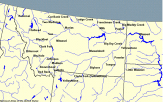
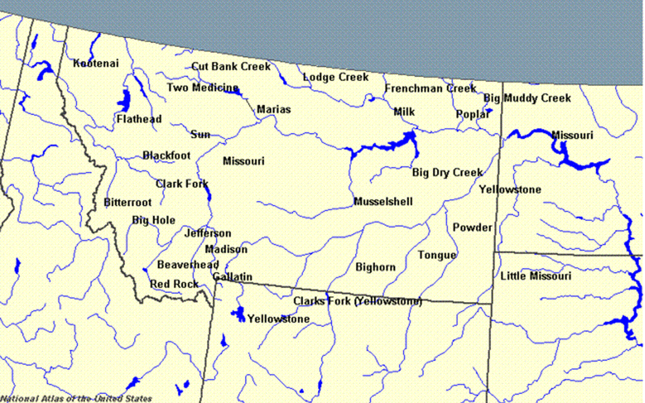
Die Flüsse Montanas mit dem Musselshell im Zentrum des Bundesstaates
Daten Gewässerkennzahl US: 774527 Lage Montana(USA) Flusssystem Missouri River Abfluss über Missouri River → Mississippi River → Golf von Mexiko Quelle im Gebiet der Crazy Mountains (Montana)
46° 28′ 47″ N, 110° 16′ 21″ W46.479722-110.2725Mündung in den Fort Peck Lake 47.374722-107.943056Koordinaten: 47° 22′ 29″ N, 107° 56′ 35″ W
47° 22′ 29″ N, 107° 56′ 35″ W47.374722-107.943056Länge 470 km Der Musselshell River ist ein Nebenfluss des Missouri in Montana in den Vereinigten Staaten.
Geographie
Der Fluss wurde erstmals 1804 während der Lewis-und-Clark-Expedition erkundet. Er entspringt im Gebiet der Crazy Mountains im zentralen Montana und mündet nach etwa 470 Kilometern in den Fort Peck Lake.[1]
In populären Medien
Der Musselshell findet Erwähnung in dem Spielfilm Jeremiah Johnson aus dem Jahr 1972 mit Robert Redford.
Einzelnachweise
Kategorien:- Flusssystem Missouri River
- Fluss in Montana
- Rocky Mountains
- Fluss in Nordamerika
Wikimedia Foundation.