- Sološnica
-
Sološnica
Wappen Karte 
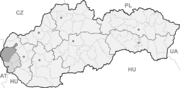

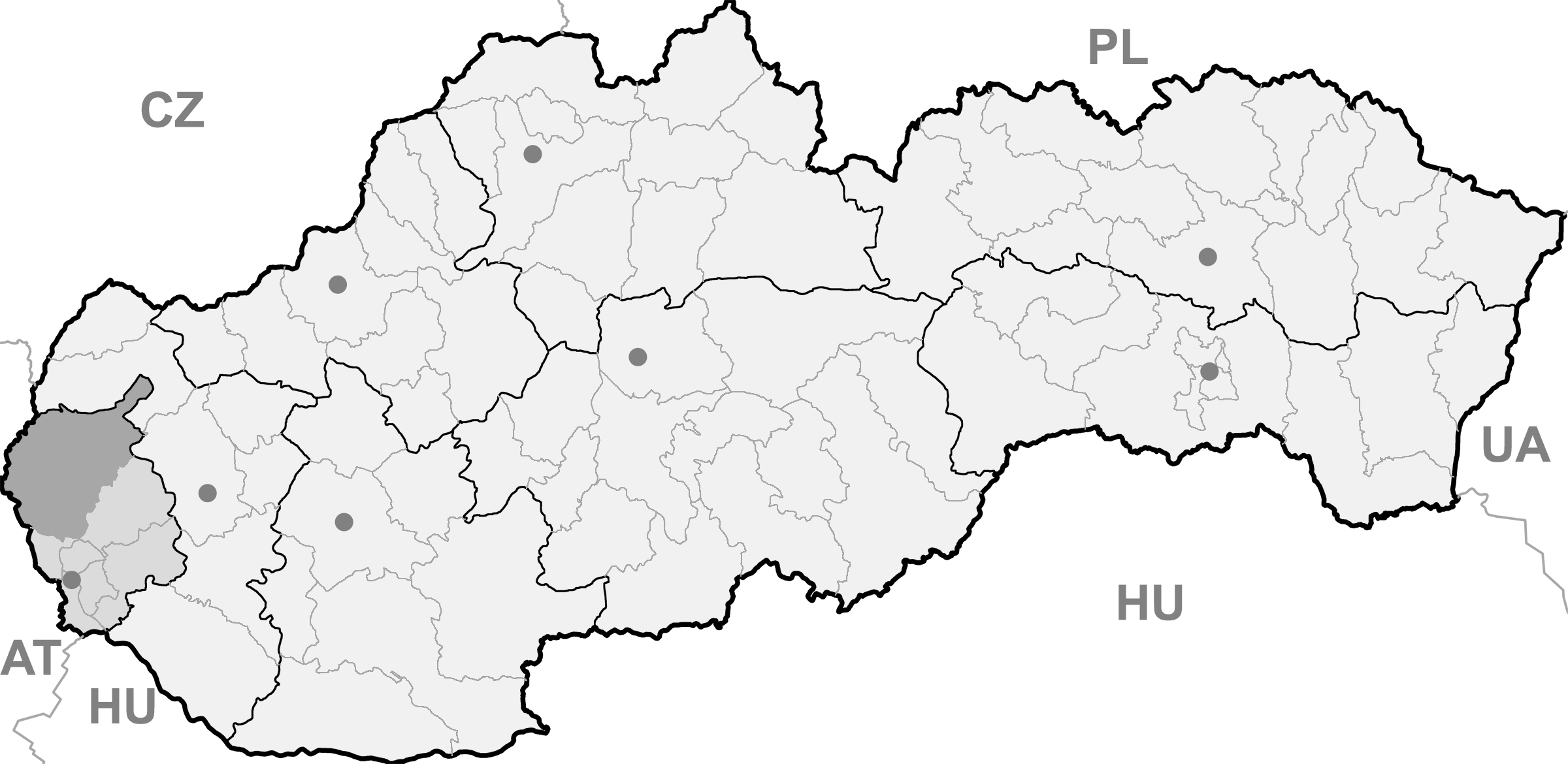
Sološnica BasisdatenKraj: Bratislavský kraj Okres: Malacky Region: Záhorie Fläche: 37,748 km² Einwohner: 1.569 (31. Dez. 2010) Bevölkerungsdichte: 41,57 Einwohner je km² Höhe: 219 m n.m. Postleitzahl: 906 37 Telefonvorwahl: 0 34 Geographische Lage: 48° 28′ N, 17° 14′ O48.46388888888917.230555555556219Koordinaten: 48° 27′ 50″ N, 17° 13′ 50″ O Kfz-Kennzeichen: MA Gemeindekennziffer: 504858 StrukturGemeindeart: Gemeinde Verwaltung (Stand: März 2011)Bürgermeister: Mária Hirthová Adresse: Obecný úrad Sološnica
527
90637 SološnicaWebpräsenz: www.solosnica.sk Gemeindeinformation
auf portal.gov.skStatistikinformation
auf statistics.skSološnica (deutsch Breitenbrunn, ungarisch Széleskút) ist eine Gemeinde im Okres Malacky innerhalb des Bratislavský kraj in der Slowakei.
Geographie
 Kirche in Sološnica
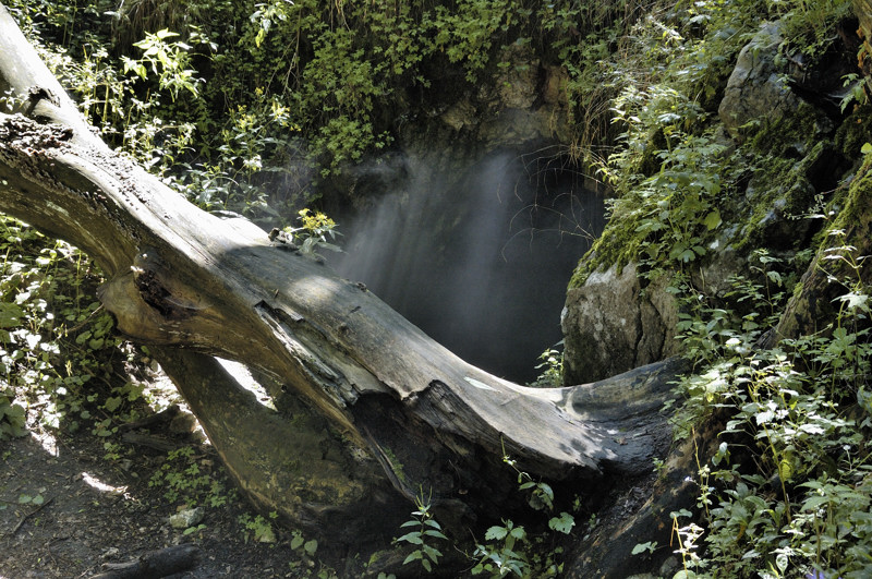
 Höhle Haviareň
Der Ort liegt in der Záhorská nížina (Záhorie-Tiefland) am Westhang der Kleinen Karpaten in der Landschaft Záhorie (deutsch Marchauen) am Bach Sološnický potok. Der Berg Vápenná (752 m n.m.) erhebt sich östlich der Gemeinde. Er ist 16 Kilometer von Malacky und 53 Kilometer von Bratislava entfernt.
In den Kleinen Karpaten gibt es den Naturschutzreservat Roštún innerhalb des Naturschutzgebietes Kleine Karpaten, der u. a. auch die kleine Höhle Haviareň umfasst.
Geschichte
Sološnica wurde zum ersten Mal 1367 als Zeleskut und Praturnprunn schriftlich erwähnt und gehörte zu den Grafen von St. Georgen und Bösing, später zum Herrschaftsgut von Burg Blasenstein. Seit dem 17. Jahrhundert war die Gemeinde im Besitz der Familie Pálffy. Im 18. Jahrhundert gab es in der Gemeinde ein Papierwerk.
Bis 1918 lag der Ort im Komitat Pressburg im Königreich Ungarn und kam danach zur neu entstandenen Tschechoslowakei.
Weblinks
 Commons: Sološnica – Sammlung von Bildern, Videos und AudiodateienGemeinden im Okres Malacky
Borinka (Ballenstein) | Gajary (Gayring) | Jablonové (Apfelsbach) | Jakubov (Jakobsdorf) | Kostolište (Kirchenplatz) | Kuchyňa (Kuchel) | Láb (Laab) | Lozorno (Losorn) | Malacky (Malatzka) | Malé Leváre (Kleinschützen) | Marianka (Mariental) | Pernek (Bäreneck) | Plavecké Podhradie (Blasenstein) | Plavecký Mikuláš (Blasenstein-Sankt-Niklaus) | Plavecký Štvrtok (Zankendorf) | Rohožník (Rohrbach) | Sološnica (Breitenbrunn) | Studienka (Hausbrunn) | Stupava (Stampfen) | Suchohrad (Dimburg) | Veľké Leváre (Großschützen) | Vysoká pri Morave (Hochstetten) | Záhorie (Militärbezirk) | Záhorská Ves (Ungeraiden) | Závod | Zohor (Sachern)
Wikimedia Foundation.
Schlagen Sie auch in anderen Wörterbüchern nach:
Sološnica — (Village) Administration Pays Slovaquie … Wikipédia en Français
Sološnica — is a village and municipality in western Slovakia in Malacky District in the Bratislava region.External links* [http://www.statistics.sk/mosmis/eng/run.html] … Wikipedia
Liste der Städte und Gemeinden in der Slowakei/S-Ž — Übersicht S bis Ž Teil 1 A bis G Teil 2 H bis Ľ Teil 3 M bis R Teil 4 S bis Ž Übersicht S Š T Ť U V Z Ž S … Deutsch Wikipedia
Liste der Städte und Gemeinden in der Slowakei Teil 4 — Übersicht S bis Ž Teil 1 A bis G Teil 2 H bis Ľ Teil 3 M bis R Teil 4 S bis Ž Übersicht S Š T Ť U V Z Ž S … Deutsch Wikipedia
Malacky — Coordinates: 48°26′09″N 17°01′04″E / 48.43583°N 17.01778°E / 48.43583; 17.01778 … Wikipedia
Bratislava Region — Geobox | Region name = Bratislava other name = category = Region image caption = image caption = symbol = etymology = official name = motto = nickname = country = Slovakia country state = region = district = commune = municipality = border = part … Wikipedia
Malacky District — District Country Slovakia Region ( … Wikipedia
List of municipalities and towns in Slovakia — Slovakia This is a comprehensive list of municipalities and towns in Slovakia. For lists of towns and municipalities sorted by Regions see the individual articles on Regions. For an outdated list of towns only in Slovakia see also List of towns… … Wikipedia
Malé Leváre — Malacky District in the Bratislava region Malé Leváre is a village and municipality in western Slovakia in Malacky District in the Bratislava region. External links … Wikipedia
Marianka — For other places with the same name, see Marianka (disambiguation). Coordinates: 48°14′53″N 17°03′36″E / 48.24806°N 17.06°E / … Wikipedia
Sološnica


18+
© Academic, 2000-2024
- Kontaktieren Sie uns: Unterstützung, Werbung
Wörterbücher Export, schritte mit PHP, Joomla, Drupal, WordPress, MODx.