- Horná Streda
-
Horná Streda
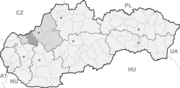
Wappen Karte 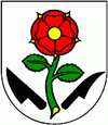

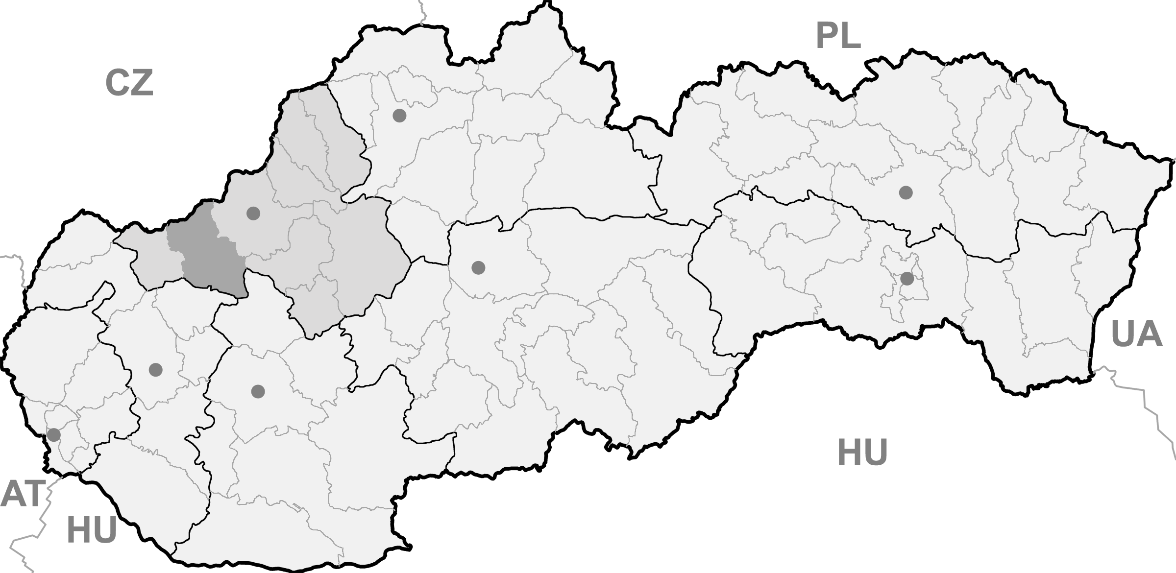
Horná Streda BasisdatenKraj: Trenčiansky kraj Okres: Nové Mesto nad Váhom Region: Stredné Považie Fläche: 9,827 km² Einwohner: 1.295 (31. Dez. 2010) Bevölkerungsdichte: 131,78 Einwohner je km² Höhe: 169 m n.m. Postleitzahl: 916 24 Telefonvorwahl: 0 32 Geographische Lage: 48° 39′ N, 17° 51′ O48.65666666666717.842222222222169Koordinaten: 48° 39′ 24″ N, 17° 50′ 32″ O Kfz-Kennzeichen: NM Gemeindekennziffer: 506001 StrukturGemeindeart: Gemeinde Verwaltung (Stand: November 2010)Bürgermeister: Ľubomír Krajňanský Adresse: Obecný úrad Horná Streda
407
91624 Horná StredaWebpräsenz: www.hornastreda.sk Gemeindeinformation
auf portal.gov.skStatistikinformation
auf statistics.skHorná Streda (bis 1927 slowakisch „Streda“, bis 1948 „Horná Streda nad Váhom“; ungarisch Felsőszerdahely - bis 1907 Vágszerdahely) ist eine Gemeinde in der Westslowakei. Sie liegt im nördlichen Donauhügelland am Fluss Waag, 8 km von Piešťany und 13 km von Nové Mesto nad Váhom entfernt.
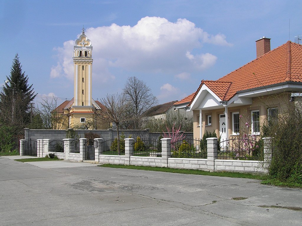
 Blick auf die Kirche
Die Gemeinde wurde 1263 erstmals schriftlich erwähnt. Der Ort besitzt eine Haltestelle an der Bahnstrecke Bratislava–Žilina sowie eine Ausfahrt der Autobahn D1.
Weblinks
 Commons: Horná Streda – Sammlung von Bildern, Videos und AudiodateienGemeinden im Okres Nové Mesto nad Váhom
Beckov (Beckow) | Bošáca | Brunovce (Brunotz) | Bzince pod Javorinou (Bzinetz) | Čachtice (Schächtitz) | Častkovce (Tschächtkowitz) | Dolné Srnie | Haluzice | Horná Streda | Hôrka nad Váhom | Hrádok | Hrachovište (Hrachowitz) | Kálnica | Kočovce | Lubina | Lúka | Modrová (Großmodro) | Modrovka (Kleinmodro) | Moravské Lieskové | Nová Bošáca | Nová Lehota (Neulehota) | Nová Ves nad Váhom (Neudorf an der Waag) | Nové Mesto nad Váhom (Neustadt an der Waag) | Očkov | Pobedim (Popudin) | Podolie | Potvorice | Považany | Stará Lehota (Altlehota) | Stará Turá (Altturn) | Trenčianske Bohuslavice | Vaďovce (Wädowitz) | Višňové | Zemianske Podhradie
Wikimedia Foundation.
Schlagen Sie auch in anderen Wörterbüchern nach:
Horná Streda — (Village) Administration Pays … Wikipédia en Français
Horná Streda — Geobox | Settlement name = Horná Streda category = Village image caption = Church symbol = etymology = official name = motto = nickname = country = Slovakia country state = region = Trenčín district = Nové Mesto nad Váhom commune = municipality … Wikipedia
Streda — ist der Namensbestandteil mehrerer Gemeinden in der Slowakei: Streda nad Bodrogom Dolná Streda Horná Streda Dunajská Streda Nitrianska Streda Diese Seite ist eine … Deutsch Wikipedia
Horná Potôň — (Village) Administration Pays Slovaquie … Wikipédia en Français
Horná Potôň — ( hu. Felsőpatony) is a village and municipality in the Dunajská Streda District in the Trnava Region of south west Slovakia.HistoryIn historical records the village was first mentioned in 1250.GeographyThe municipality lies at an altitude of 120 … Wikipedia
Dunajska Streda — Dunajská Streda Wappen Karte … Deutsch Wikipedia
Dunajská Streda — Coordinates: 47°59′40″N 17°37′10″E / 47.99444°N 17.61944°E / 47.99444; 17.61944 … Wikipedia
Dunajská Streda — Wappen Karte … Deutsch Wikipedia
Dunajska Streda — Dunajská Streda Dunajská Streda Héraldique … Wikipédia en Français
Dunajská Streda — (Chef lieu de district) Héraldique … Wikipédia en Français
Horná Streda

18+
© Academic, 2000-2024
- Kontaktieren Sie uns: Unterstützung, Werbung
Wörterbücher Export, schritte mit PHP, Joomla, Drupal, WordPress, MODx.