Kakanui Range — The Kakanui Range is a range of high hills located inland from Oamaru in the South Island of New Zealand. The range forms a boundary between the valley of the Waitaki River to the north and the high plateau known as the Maniototo to the southwest … Wikipedia
Kakanui Mountains — p1p5 Kakanui Mountains Die Kakanui Mountains dominieren den östlichen Horizont von Maniototo Höchster Gipfel Mount Pisgah ( … Deutsch Wikipedia
Kakanui — Location map New Zealand label=Kakanui lat dir=S | lat deg=45 | lat min=11 lon dir=E | lon deg=170 | lon min=54 position=right width= 150 float=right caption=The small town of Kakanui lies on the coast of Otago, in New Zealand, fourteen… … Wikipedia
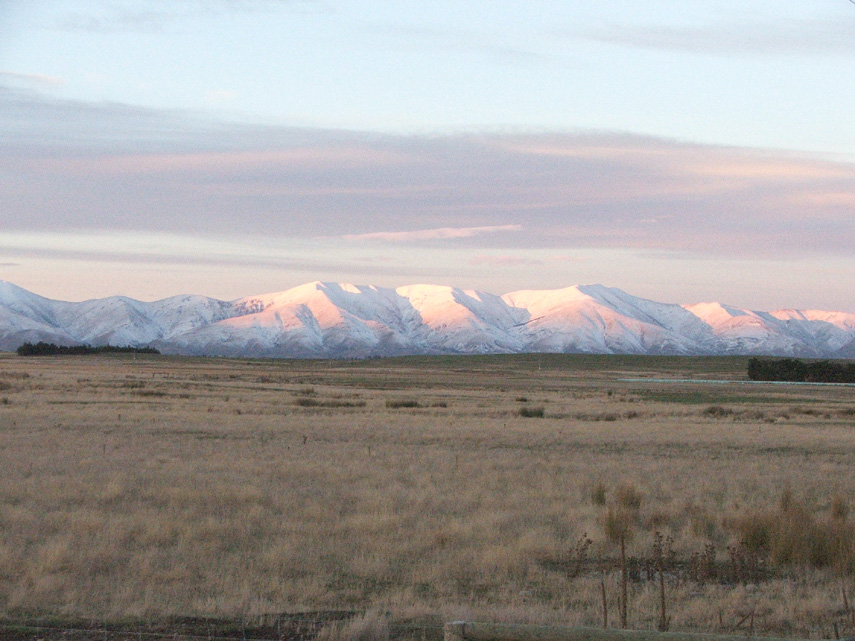
Maniototo — Looking southwest across the Maniototo towards Rough Ridge from near Ranfurly The Kakanui Ran … Wikipedia
Dansey Pass — xBWx Dansey Pass Nord Süd Passhöhe … Deutsch Wikipedia
Shag River — The Shag River is located in Otago in the South Island of New Zealand. It rises in the Kakanui Range, flowing southeast for 50 kilometres before reaching the Pacific Ocean near the town of Palmerston. The Dunback Branch railway that operated from … Wikipedia
Ranfurly, New Zealand — RanfurlyUrban AreaPopulation1,060 (2006)Territorial AuthorityNameCentral Otago District Council (see Alexandra)Population16,950 (2006 est.)ExtentIncludes the towns of Alexandra Clyde, Cromwell, Roxburgh, and Ranfurly Regional … Wikipedia
Ranfurly (Neuseeland) — Ranfurly … Deutsch Wikipedia
Shag River — Der Shag River ist ein Fluss in der Region Otago auf der Südinsel Neuseelands. Er entspringt der Kakanui Range und fließt für 50 km in südöstlicher Richtung, bevor er bei Palmerston in den Pazifik mündet. Die Dunback Nebenbahn der Main South … Deutsch Wikipedia
List of New Zealand police officers killed in the line of duty — This is a list of New Zealand Police officers killed in the line of duty. As of 2009, 29 police officers have been killed by criminal act,[1][2] and about 17 have died from accidental causes, during the execution of duty. There has been one… … Wikipedia
 Die Kakanui Mountains dominieren den östlichen Horizont von Maniototo