- Nasu-Karasuyama
-
那須烏山市
Nasukarasuyama-shi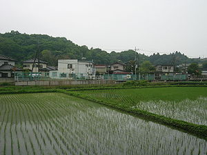
Geographische Lage in Japan 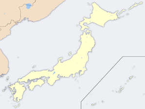

Region: Kantō Präfektur: Tochigi Koordinaten: 36° 39′ N, 140° 9′ O36.656944444444140.15138888889Koordinaten: 36° 39′ 25″ N, 140° 9′ 5″ O Basisdaten Fläche: 174,42 km² Einwohner: 31.841
(1. Okt. 2006)Bevölkerungsdichte: 183 Einwohner je km² Gemeindeschlüssel: 09215-1 Rathaus Adresse: Nasukarasuyama City Hall
1-1-1, Chūō
Nasukarasuyama-shi
Tochigi 321-0692Webadresse: Lage Nasukarasuyamas in der Präfektur Tochigi 
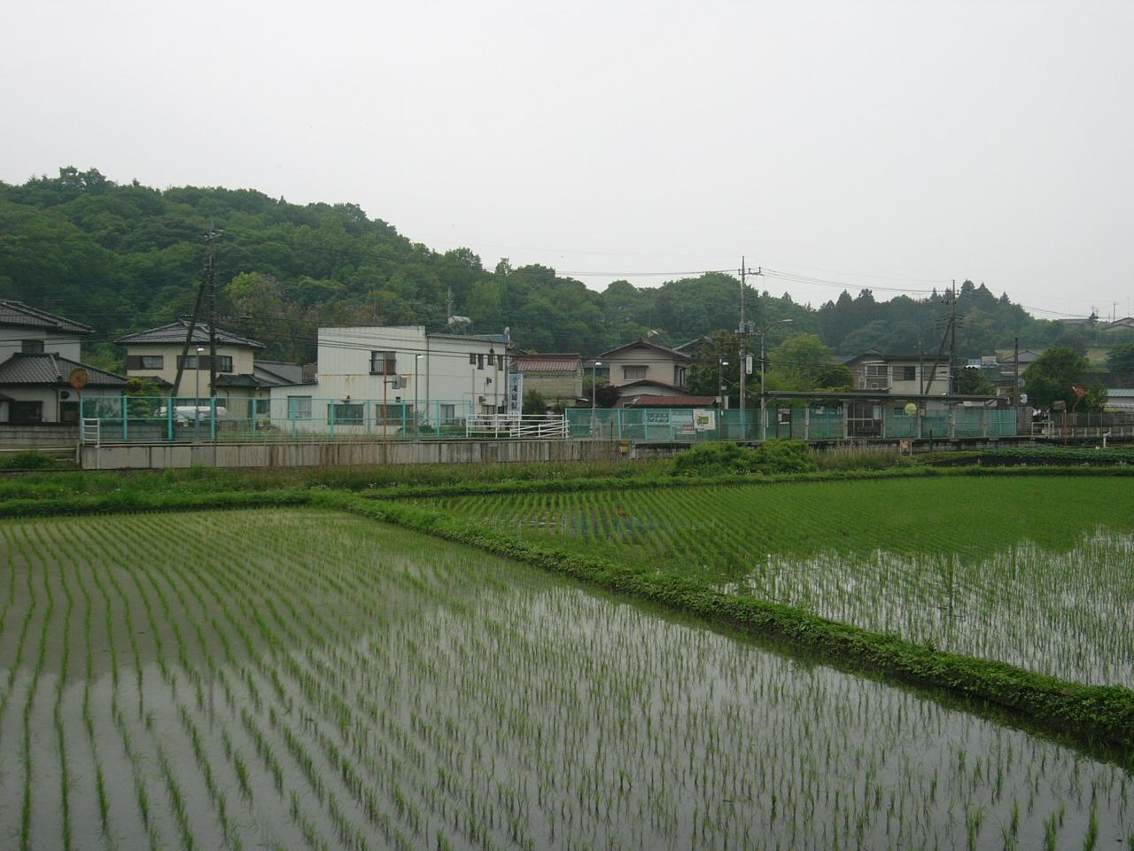
Nasukarasuyama (jap. 那須烏山市, -shi) ist eine Stadt in der Präfektur Tochigi in Japan.
Inhaltsverzeichnis
Geographie
Nasukarasuyama liegt östlich von Utsunomiya.
Geschichte
Nasukarasuyama entstand am 1. Oktober 2005 durch Zusammenschluss der Gemeinden Karasuyama (烏山町, -machi) und Minaminasu (南那須町, -machi) des Landkreises Nasu.
Verkehr
- Straße:
- Nationalstraße 293,294
- Zug:
- JR Karasuyama-Linie
Angrenzende Städte und Gemeinden
Weblinks
 Städte in der Präfektur Tochigi
Ashikaga | Kanuma | Mooka | Nasukarasuyama | Nasushiobara | Nikkō | Ōtawara | Oyama | Sakura | Sano | Shimotsuke | Tochigi | Utsunomiya (Verwaltungsssitz) | Yaita
- Straße:


Wikimedia Foundation.