Ngardok

Ngardok
Ngardok-See
Ngardok-See
Ngardok-See
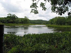
Abflüsse: Ngerdorch River
Daten
Koordinaten 7° 30′ 45″ N, 134° 36′ 13″ O7.5125134.603611111117Koordinaten: 7° 30′ 45″ N, 134° 36′ 13″ O
Ngardok-See (Palau)
DEC
Ngardok-See
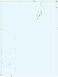
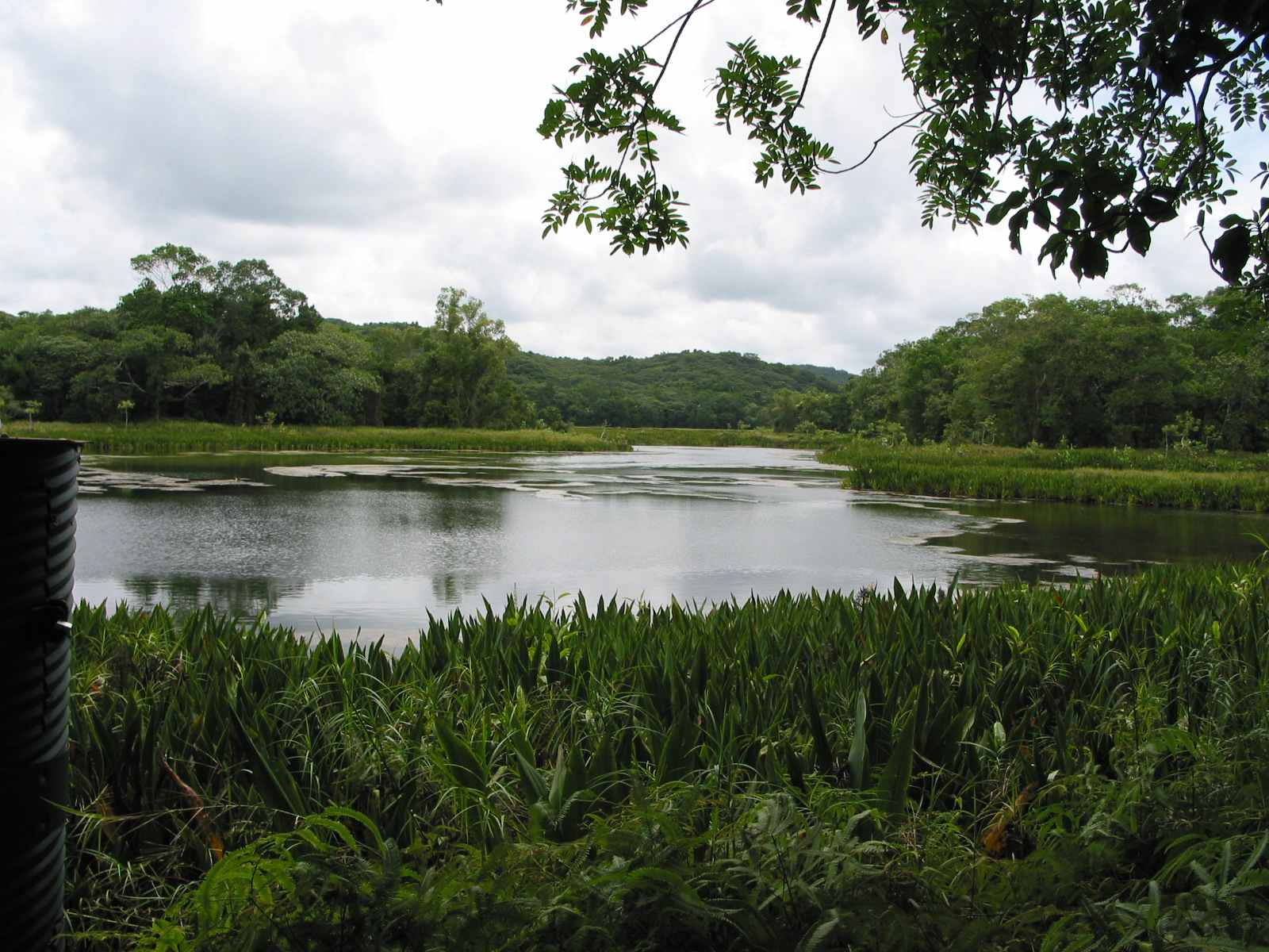
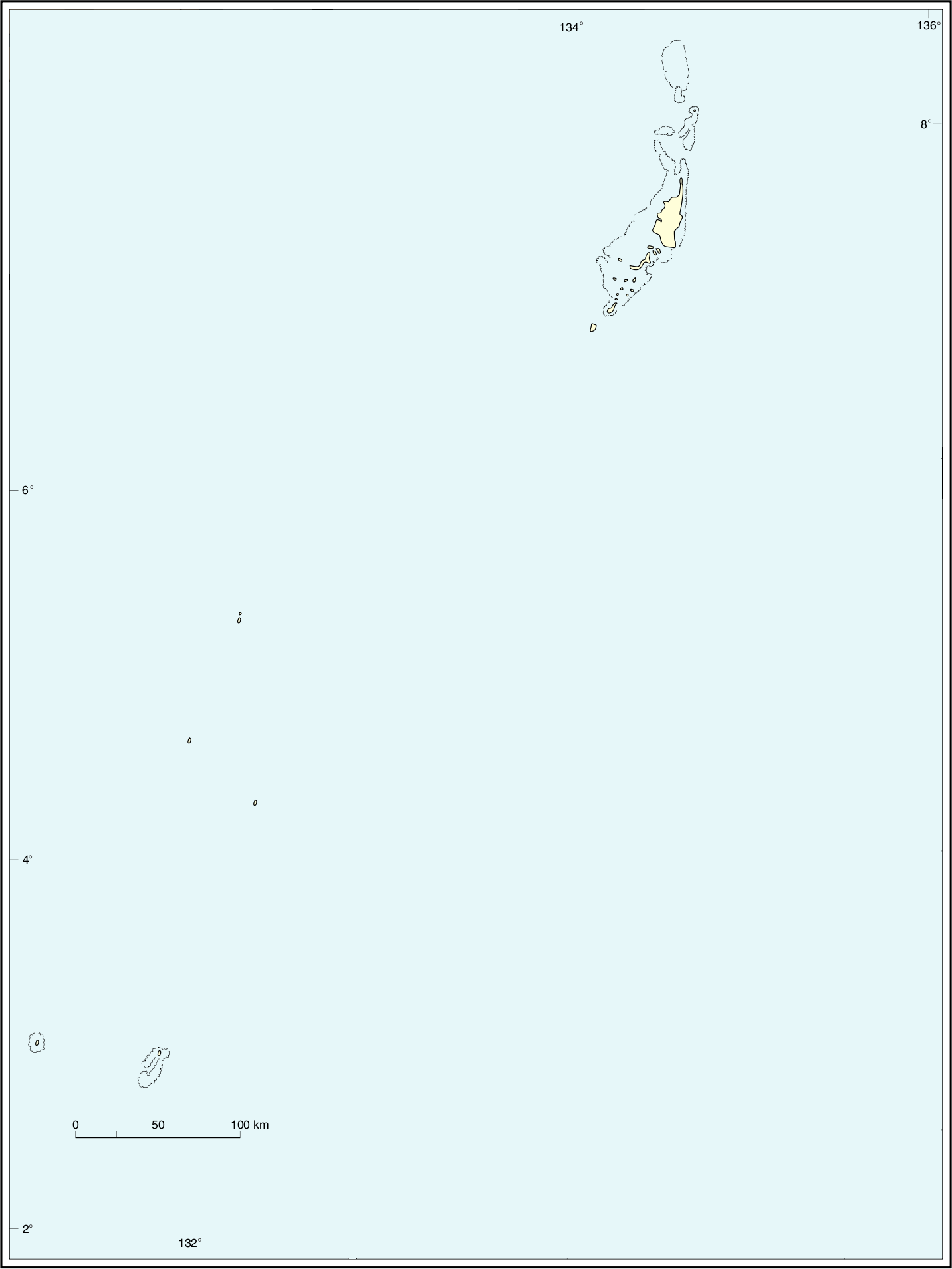
Seelänge 500 m
Seebreite 100 m

Der Ngardok-See liegt im Osten der Insel Babelthuap. Er zählt zur westpazifischen Inselrepublik Palau und gehört zum palauischen Verwaltungsgebiet Melekeok.

Der knapp 500 Meter lange und kaum 100 Meter breite See wird durch eine Halbinsel in nahezu zwei gleichgroße Seeflächen geteilt. Er bildet den größten natürlichen Süßwassersee in ganz Mikronesien. Über den Ngerdorch River besteht eine Verbindung zum offenen Meer, weswegen hier zahlreiche Salzwasserkrokodile brüten.

Seit 2007 ist der See und das angrenzende Gebiet ein Naturreservat von Palau (Lake Ngardok Nature Reserve).

Weblinks


Wikimedia Foundation.

Игры ⚽ Поможем сделать НИР

Schlagen Sie auch in anderen Wörterbüchern nach:

  • Ngardok-See — Abfluss Ngerdorch River Daten Koordinaten …   Deutsch Wikipedia

  • Lago Ngardok — País  Palaos Región Melekeok …   Wikipedia Español

  • Lake Ngardok — is a lake on the Paulauan island of Babeldaob and in the State of Melekeok. It is the largest natural freshwater lake in all of the islands of Micronesia. The lake and the marshes surrounding it are a refuge for the endangered saltwater crocodile …   Wikipedia

  • Melekeok — Map of State of Melekeok Melekeok is a state of the Republic of Palau located on the central east coast of Babeldaob Island. The new capital of the Republic of Palau, Ngerulmud, is also located in this state. The state consists of long beaches,… …   Wikipedia

  • PW-212 — Flagge von Melekeok Administrative Gliederung von Palau. Der Teilstaat Melekeok der westpazifischen Inselrepublik Palau befindet sich im zentralen Osten der Hauptinsel …   Deutsch Wikipedia

  • Babeldaob — Babelthuap Géographie Pays  Palaos Archipel Îles Carolines Localisation …   Wikipédia en Français

  • Babelthoap — Babeldaob Babeldaob Babelthuap Géographie Pays  Palaos Archipel Îles Carolines Localisation …   Wikipédia en Français

  • Babelthuap — Babeldaob Babeldaob Babelthuap Géographie Pays  Palaos Archipel Îles Carolines Localisation …   Wikipédia en Français

  • Melekeok — 7° 29′ 36″ N 134° 38′ 02″ E / 7.49333, 134.634 …   Wikipédia en Français

  • List of Indigenous Australian group names — contains names and collective designations which have been applied, either formerly or in the past, to group of Indigenous Australians Note: It is very important to be aware that the term tribe is really not very useful in indigenous Australia.… …   Wikipedia

Share the article and excerpts

Direct link
Do a right-click on the link above
and select “Copy Link”