- Otuwhanga Island
-
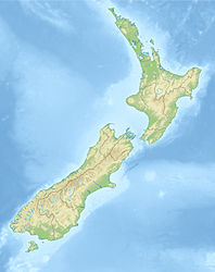
Otuwhanga Island Gewässer Pazifischer Ozean Geographische Lage 35° 10′ 16,16″ S, 174° 19′ 57,17″ O-35.171155398056174.33254599583133Koordinaten: 35° 10′ 16,16″ S, 174° 19′ 57,17″ O Fläche 6 ha Höchste Erhebung 133 m Einwohner (unbewohnt) Otuwhanga Island ist eine Insel vor der Nordküste der Nordinsel Neuseelands. Sie befindet sich 50 m nördlich der Nordspitze von Cape Brett in der Bay of Islands nördlich von Auckland. Administrativ gehört sie zum Far-North-Distrikt der Region Northland.
Die Insel ist 133 Meter hoch, 6 Hektar groß und vom Festland 50 Meter entfernt.[1] Etwa 600 m nördlich liegt eine weitere etwa gleichgroße Insel, Piercy Island, mit einem Naturtor, dem "The Hole In The Rock".
Quellen
Kategorien:- Unbewohnte Insel
- Insel (Neuseeland)
- Insel (Australien und Ozeanien)
- Insel (Pazifischer Ozean)
- Northland (Region)
Wikimedia Foundation.

