- Roxburgh Dam
-
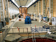 Maschinenhalle
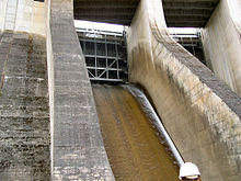 Überlauf
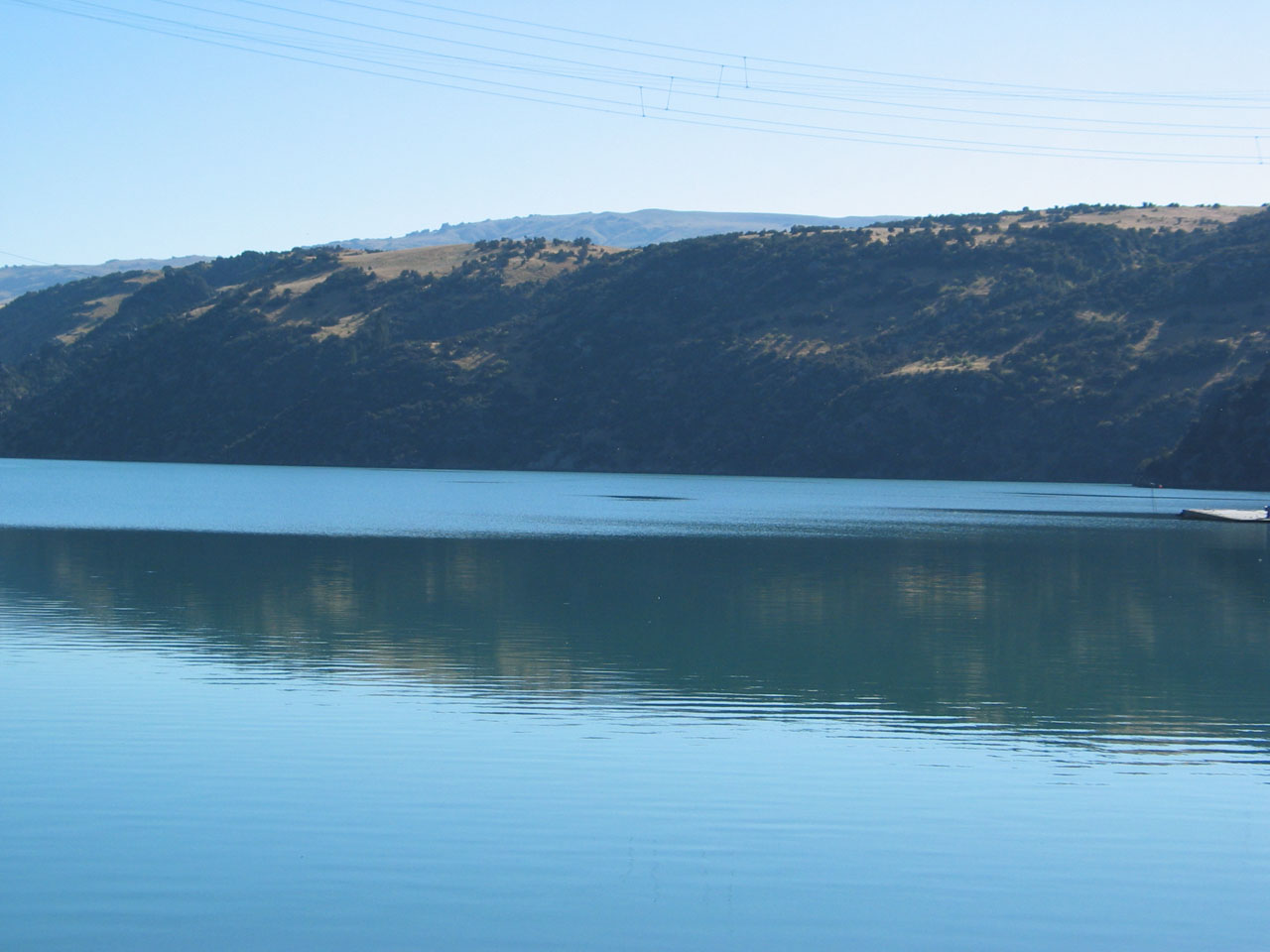
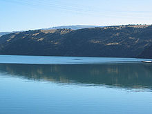 Lake Roxburgh
Der Roxburgh Dam ist das erste der großen Wasserkraftprojekte auf der Südinsel Neuseelands. Er sperrt den Clutha River etwa 160 km von Dunedin und fünf Kilometer nördlich des Ortes Roxburgh. Die kleine Siedling Roxburgh Hydro liegt nahe der Westseite des Dammes.
Der Damm wurde zwischen 1949 und 1956 von Holland, Hannen & Cubitts erbaut, das Kraftwerk im Zeitraum zwischen 1956 und 1962 schrittweise in Betrieb genommen. Die Leistung wurde in den frühen 1960er Jahren nochmals erhöht, so dass die acht Generatoren heute eine Leistung von 320 Megawatt bringen. Das Werk wird von Contact Energy betrieben.[1]
Der durch den Damm entstandene sechs Quadratkilometer große Stausee Lake Roxburgh dehnt sich fast 30 Kilometer flussauf aus.
Einzelnachweise
-45.476503233889169.32214736944Koordinaten: 45° 28′ 35″ S, 169° 19′ 20″ OKategorien:- Otago (Region)
- Staudamm


Wikimedia Foundation.