- Ssese Islands
-
Karte 
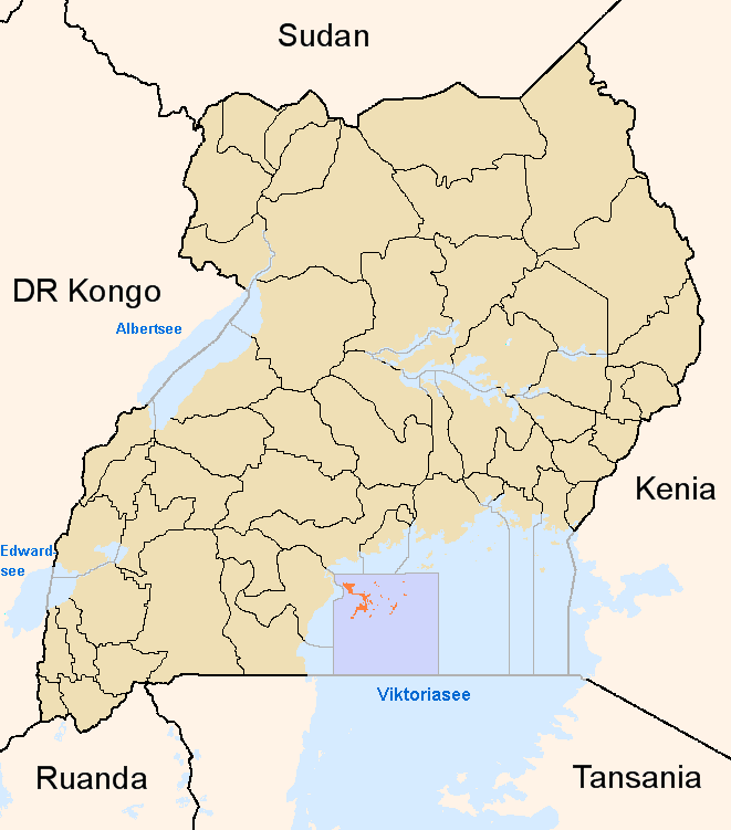
Lage von Kalangala
Basisdaten Hauptstadt Kalangala Geographisches Zentrum 0° 20′ N, 32° 20′ O0.3333333333333332.333333333333Koordinaten: 0° N, 32° O Nord-Süd-Ausdehnung 50 km Ost-West-Ausdehnung 55 km Fläche 432 km² Einwohnerzahl 36.661 (Stand 2002) Bevölkerungsdichte 84,9 Einwohner/km² Tiefster Punkt 1134 m Höchster Punkt 1240 m Zeitzone UTC +3 ISO 3166-2 UG-101 Kalangala ist ein Distrikt von Uganda. Er umfasst die komplette Gruppe der Ssese-Inseln. Diese umfasst 84 Inseln (43 davon bewohnt) im Nordwesten des Viktoriasees. Die größte Insel ist Bugala mit einer Länge von 40 km. Die Hauptstadt ist das gleichnamige Kalangala auf Bugala. Die Bevölkerung beträgt nach dem Zensus von 2002 36.661 Menschen auf einer Fläche von 9340 km², wovon aber lediglich 432 km² Landfläche ist.
Der Distrikt wird von Luganda-sprechenden Bantus des Bassese-Stamms bewohnt, die mit den Baganda und Basoga verwandt sind.
Die Inselgruppe ist auf Grund der starken Niederschläge von etwa 2000 mm pro Jahr sehr waldreich.
Wichtige Wirtschaftszweige sind, neben dem Fischfang insbesondere auf Nilbarsche, der Tourismus sowie Forstwirtschaft und Landwirtschaft mit dem Anbau von Zuckerrohr, Palmöl und Ananas.
Eine Fährverbindung besteht zwischen Bukakata nahe Masaka und Luku auf Bugala. Eine zweite Fährverbindung nach Port Bell wurde 1996 eingestellt, nachdem die Fähre mit über 100 Todesopfern gesunken war.
wichtige Inseln und Städte
Weblinks
- District Information Portal (englisch)

Zentrale Distrikte: Kalangala | Kampala | Kayunga | Kiboga | Luwero | Masaka | Mpigi | Mubende | Mukono | Nakasongola | Rakai | Sembabule | Wakiso
Östliche Distrikte: Bugiri | Busia | Iganga | Jinja | Kaberamaido | Kamuli | Kapchorwa | Katakwi | Kumi | Mayuge | Mbale | Pallisa | Sironko | Soroti | Tororo
Nördliche Distrikte: Adjumani | Apac | Arua | Gulu | Kitgum | Kotido | Lira | Moroto | Moyo | Nakapiripirit | Nebbi | Pader | Yumbe
Westliche Distrikte: Bundibugyo | Bushenyi | Hoima | Kabale | Kabarole | Kamwenge | Kanungu | Kasese | Kibaale | Kisoro | Kyenjojo | Masindi | Mbarara | Ntungamo | Rukungiri
Wikimedia Foundation.