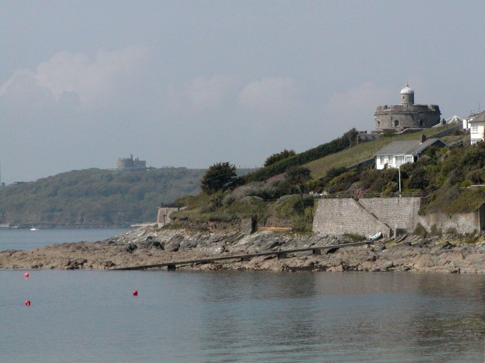
- St Mawes Castle
-

St Mawes Lage von St. MawesSt Mawes ist eine Ortschaft an der Südküste der englischen Grafschaft Cornwall. Es liegt gegenüber von Falmouth auf dem Ostufer der Carrick Roads. Haupteinnahmequelle des Ortes ist der Tourismus. Zwischen St Mawes und Falmouth besteht eine ganzjährige Fährverbindung.
Inhaltsverzeichnis
Sehenswürdigkeiten
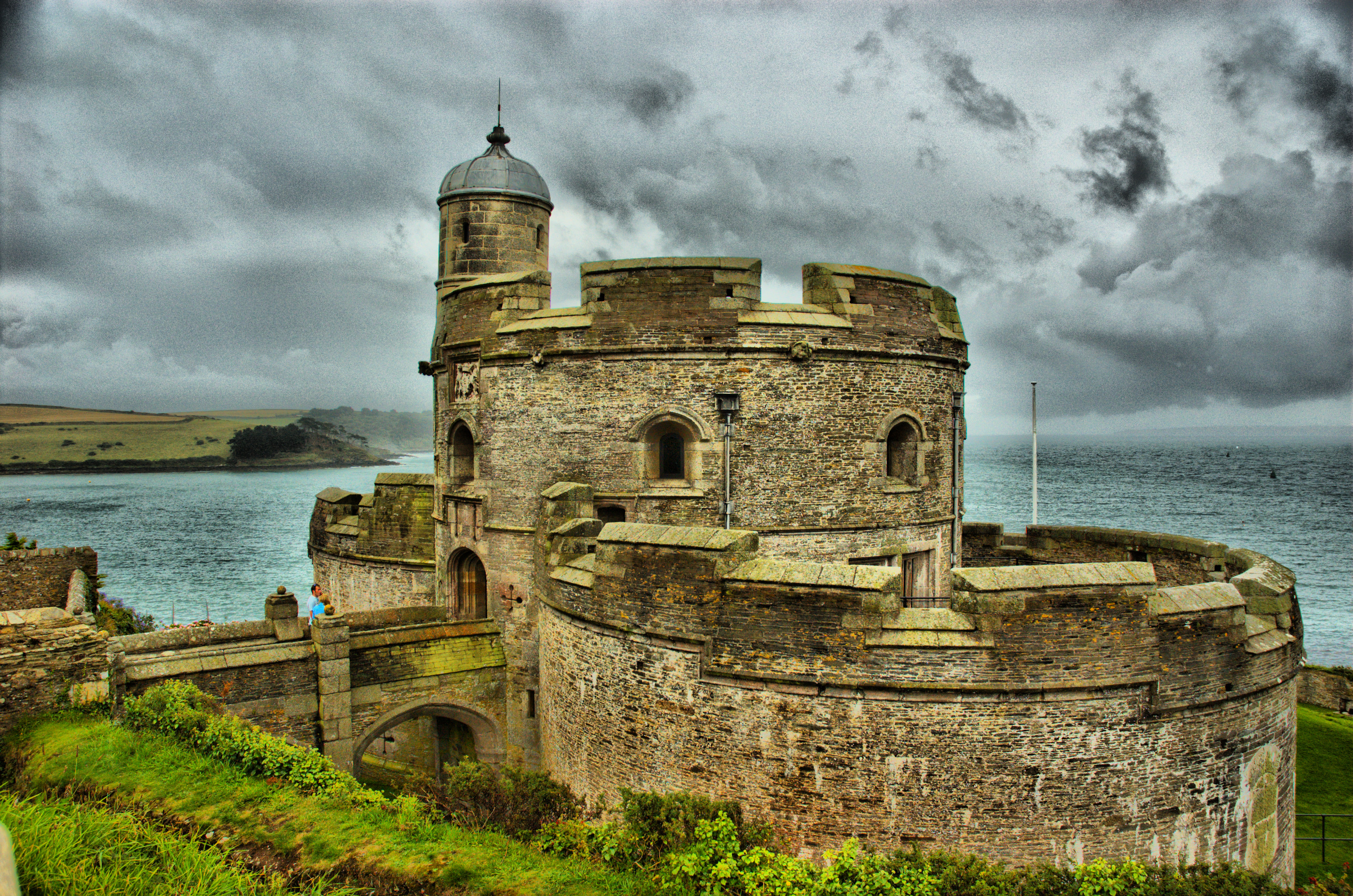
St Mawes Castle
Dabei handelt es sich um eine gut erhaltene Festung aus der Zeit Heinrich VIII. Die Anlage wurde zwischen 1539 und 1545 erbaut. Sie diente zusammen mit der Festung Pendennis Castle zum Schutz der Carrick Roads, dem drittgrößten Naturhafen der Welt. Dir Burg war eine reine Artilleriestellung, man wollte so viel Feuerkraft wie möglich in sie hinein bringen. Sie glt dennoch als eine der meist dekorierten Burgen unter Henry VIII. Man findet an ihr sein fein detailliert erarbeitete Wasserspeier, Kanonenöffnungen und Handschnitzarbeiten in den Räumen des Burghauptmann. Ursprünglich hatte die Burg eine mit Ketten betriebene Zugbrücke. Die Burg wurde im 17. Jahrhundert mit einem weiteren Artilleriering erweitert. Im 19. Jahrhundert wurde eine Batterie mit 24 Pfund schweren Kanonen im Ring aufgestellt, später kamen noch zwei 64 Pfund schwere Kanonen hinzu. Zusammen mit Pendennis Castle wurde im Zweiten Weltkrieg von hier aus ein Minienfeld kontrolliert.
Galerie
St Mawes Castle (Vordergrund) und Pendennis Castle in Falmouth (Hintergrund)
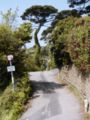
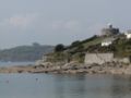
Mediterrane Impressionen in St Mawes (Mai 2004)

St Mawes Castle
Weblinks
50.158055555556-5.0155555555556Koordinaten: 50° 9′ N, 5° 1′ W


Wikimedia Foundation.