- Vrakuna
-
Vrakuňa
Wappen Karte 
 Basisdaten
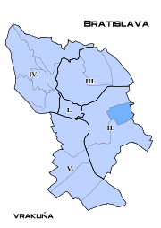
Landschaftsverband (Kraj): Bratislavský kraj Bezirk (Okres): Bratislava II Region: Bratislava Fläche: 10,30 km² Einwohner: 18.799 (31. Dezember 2004) Bevölkerungsdichte: 1.825,15 Einwohner je km² Höhe: 125 Meter Postleitzahl: 821 XX Telefonvorwahl: 0 2 Geographische Lage: 48° 9′ N, 17° 13′ O48.1517.216666666667125Koordinaten: 48° 9′ 0″ N, 17° 13′ 0″ O Kfz-Kennzeichen: BA Gemeindekennziffer: 529338 StrukturGemeindeart: Stadtteil Verwaltung (Stand: Februar 2007)Bürgermeister: Ladislav Fatura Adresse: Miestny úrad Bratislava-Vrakuňa
Šíravská 7
82107 BratislavaWebpräsenz: www.bratislava-vrakuna.sk Gemeindeinformation
auf portal.gov.skStatistikinformation
auf statistics.skVrakuňa (bis 1948 slowakisch „Verekne“; deutsch Fragendorf, ungarisch Vereknye) ein ehemals selbständiger Ort und heutiger Stadtteil im Osten Bratislavas mit zirka 19.000 Einwohnern.
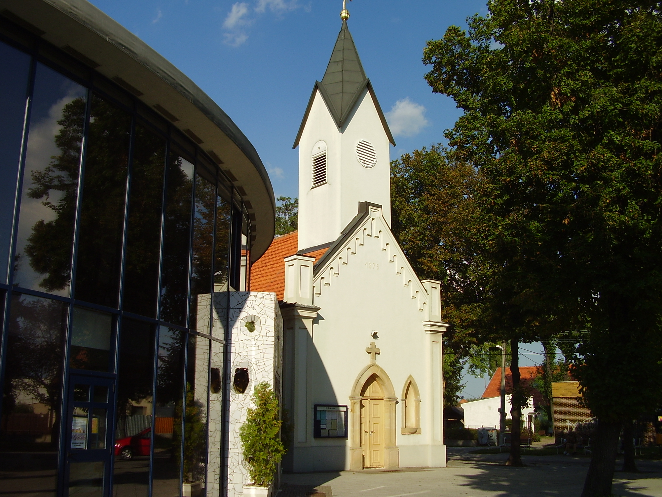
 Kirche in Vrakuňa
Beschreibung und Geschichte
Der damalige Ort wurde 1279 zum ersten Mal erwähnt und hieß bis 1948 slowakisch Verekne. Am 1. Januar 1972 wurde der Ort zur Stadt Bratislava eingemeindet und ist seither einer der Stadtteile.
Stadtteilgliederung
Der Stadtteil gliedert sich noch in folgende weitere kleinere (inoffizielle) Viertel:
- Dolné hony
- Ketelec
- Lieskovec
Weblinks
 Stadtteile von Bratislava
Staré Mesto - I (Altstadt) | Podunajské Biskupice - II (Bischdorf) | Ružinov - II (Rosenheim) | Vrakuňa - II (Fragendorf) | Nové Mesto - III (Neustadt) | Rača - III (Ratzersdorf) | Vajnory - III (Weinern) | Devín - IV (Theben) | Devínska Nová Ves - IV (Thebenneudorf) | Dúbravka - IV (Kaltenbrunn) | Karlova Ves - IV (Karlsdorf) | Lamač - IV (Blumenau) | Záhorská Bystrica - IV (Bisternitz) | Čunovo - V (Sarndorf) | Jarovce - V (Kroatisch-Jahrndorf) | Petržalka - V (Engerau) | Rusovce - V (Karlburg)


Wikimedia Foundation.