Ōhasama (Iwate)

Ōhasama (Iwate)
大迫町
Ōhasama-machi (eingemeindet)
Ōhasama (Japan)
DEC
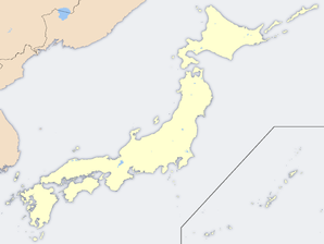
Geographische Lage in Japan
Region: Tōhoku
Präfektur: Iwate
Koordinaten: 39° 28′ N, 141° 18′ O39.468872222222141.291683333337Koordinaten: 39° 28′ 8″ N, 141° 17′ 30″ O
Basisdaten
Eingemeindet am: 1. Jan. 2006
Eingemeindet in: Hanamaki
Fläche: 246,84 km²
Einwohner: 6.766
(1. Nov. 2005)
Bevölkerungsdichte: 27 Einwohner je km²
Gemeindeschlüssel: 03341-3
Symbole
Baum: Blauglockenbaum
Blume: Leontopodium hayachinense
Vogel: Rostkehlnachtigall
Rathaus
Adresse: Ōhasama Town Hall
2-51-4, Ōhasama
Ōhasama-machi, Hienuki-gun
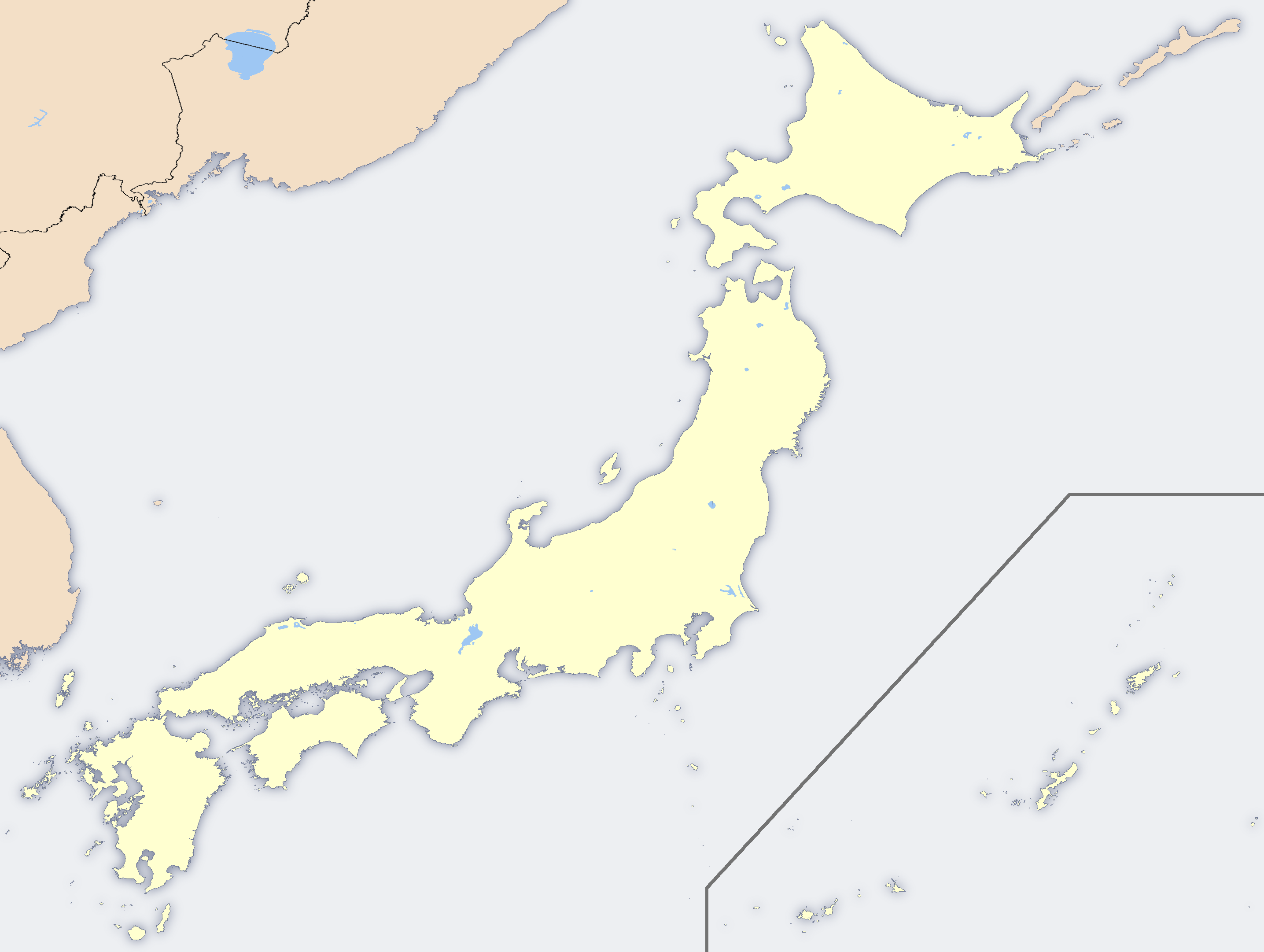
Iwate 028-3203
Webadresse:

Ōhasama (jap. 大迫町, -machi) war eine Stadt im Zentrum der Präfektur Iwate im nördlichen Teil der japanischen Hauptinsel Honshū.

Inhaltsverzeichnis

Geografie

Sie befand sich etwa 30 km südöstlich von Morioka, der Hauptstadt der Präfektur. Ōhasama war in 4 Bezirke unterteilt: dem eigentlichen Ōhasama (大迫) im Zentrum, Kamegamori (亀々森) im Westen, Uchikawame (内川目) im Norden und Sotokawame (外川目) im Osten.

Geschichte

Am 1. Januar 2006 wurde die Stadt Ōhasama in die Stadt Hanamaki integriert und existiert somit nicht mehr als eigenständige Verwaltungseinheit.

Städtepartnerschaft

Ōhasama ist seit 1965 die Schwesterstadt der niederösterreichischen Stadt Berndorf. Der Schüleraustausch zwischen dem Bundesrealgymnasium Berndorf und Ōhasama findet trotz der Eingemeindung weiterhin statt.

Weblinks


Wikimedia Foundation.

Игры ⚽ Поможем решить контрольную работу

Schlagen Sie auch in anderen Wörterbüchern nach:

  • Ōhasama, Iwate — Map of Ōhasama, Iwate Ōhasama (大迫町, Ōhasama machi?), formerly an indepe …   Wikipedia

  • Ōhasama — machi (eingemeindet) 大迫町 …   Deutsch Wikipedia

  • Ohasama — 大迫町 Ōhasama machi (eingemeindet) …   Deutsch Wikipedia

  • Prefectura de Iwate — Iwate 岩手県 Iwate ken Prefectura de Japón …   Wikipedia Español

  • Hanamaki, Iwate — Japanese city| Name = Hanamaki City JapaneseName = 花巻市| Region = Tōhoku Prefecture = Iwate prefecture Area km2 = 908.32| Population = 105,350 PopDate = May, 2007 Density km2=115.98 Mayor = Mitsuo Oishi Coords= LatitudeDegrees= 39 LatitudeMinutes …   Wikipedia

  • Hienuki District, Iwate — List of Provinces of Japan > Tosando > Rikuchu Province > Hienuki District(Japan > Iwate Prefecture > Hienuki District)Hienuki (稗貫郡; gun) was a district located in Iwate Prefecture(Rikuchu Province). The district had an estimated population of 23 …   Wikipedia

  • List of mergers in Iwate Prefecture — The following is a list of mergers that occurred in the 2000s in Iwate Prefecture, Japan.(as of March 6, 2006)Mergers from April 1, 2005 to March 31, 2006*On June 6, 2005 the town of Tarō and village of Niisato from Shimohei District merged with… …   Wikipedia

  • Waga District, Iwate — List of Provinces of Japan > Tosando > Rikuchu Province > Waga DistrictJapan > Tohoku Region > Iwate Prefecture > Waga DistrictWaga (和賀郡; gun) is a district located in Iwate Prefecture.郡データ換算|岩手県|西和賀町以下の1町を含む。 * Nishiwaga(西和賀町) Timeline * 1878… …   Wikipedia

  • List of dissolved districts of Japan — A district of Japan is dissolved when all towns or villages in the district become cities or are merged into the city. The following is a list of dissolved districts of Japan.The date shown is the day the district was dissolved i.e. the district… …   Wikipedia

  • List of city nicknames in Japan — Cities by prefecture= =Aichi= *Takahama **City of Kawara(Roof tiles) *Toyota, Nagoya **the castle town of Toyota *Yatomi **City of Goldfish =Akita= =Aomori= =Chiba= =Ehime= *Matsuyama **Town of Botchan(Botchan by Natsume Sōseki) *Imabari **City… …   Wikipedia

Share the article and excerpts

Direct link
Do a right-click on the link above
and select “Copy Link”