Sierra Leone — Sierra Leonean /lee oh nee euhn/. /lee oh nee, lee ohn / an independent republic in W Africa: member of the Commonwealth of Nations; formerly a British colony and protectorate. 4,891,546; 27,925 sq. mi. (72,326 sq. km). Cap.: Freetown. * * *… … Universalium
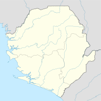
Geography of Sierra Leone — Continent Africa Region Western Africa Coordinates … Wikipedia
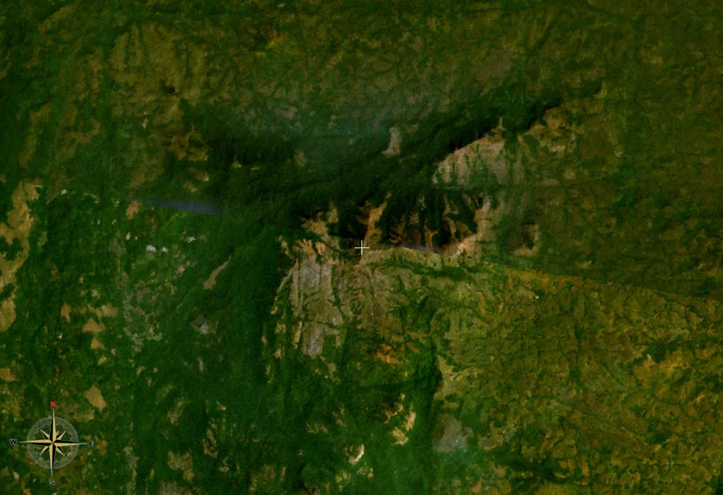
Mount Bintumani — Loma Mansa … Wikipedia
Bintumani — Mount Bintumani Höhe 1.945 m … Deutsch Wikipedia
Loma Mansa — Mount Bintumani Höhe 1.945 m Lage Sierra Leone … Deutsch Wikipedia
Loma Mountains — Die Loma Mountains sind ein Gebirgszug im Nordosten des westafrikanischen Staates Sierra Leone, an der Grenze zu Guinea. Dort werden sie Daro Berge genannt. Die Loma Mountains bilden die höchste Erhebung Sierra Leones. Der höchste Gipfel ist der… … Deutsch Wikipedia
Mount Bintumani — Höhe 1.945 m Lage Sierra Leone … Deutsch Wikipedia
Futa Yallon — Cañón de Futa Ŷallon Futa Ŷallon (o en la muy difundida transcripción francesa: Fouta Djallon[1] es una región de macizo orográfico en el centro norte de la República de Guinea, en África Occidental. El nombre indígena es Fuut … Wikipedia Español
Geografía de Sierra Leona — Sierra Leona es un pequeño país de las costas occidentales de África. Sus límites son: Guinea al norte y al este, Liberia al este y al sur y el Océano Atlántico al oeste y al sur. Datos básicos Extensión: 71.740 km² Países fronterizos: Guinea y… … Wikipedia Español
Loma Mountains — ▪ mountains, Sierra Leone mountain range in northeastern Sierra Leone, extending for about 20 miles (32 km) in a north south direction, west of the source of the Niger River in the Guinea Highlands. Rising abruptly above the granite plateau … Universalium