- Anatakupu Island
-
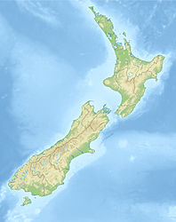
Anatakupu Island Gewässer Pazifischer Ozean Geographische Lage 40° 53′ 48″ S, 173° 52′ 12″ O-40.896666666667173.87Koordinaten: 40° 53′ 48″ S, 173° 52′ 12″ O Länge 120 m Breite 75 m Einwohner (unbewohnt) Anatakupu Island ist eine unbewohnte Insel westlich der Lucky Bay im Südosten der zu Nelson gehörenden Insel D'Urville Island. Sie liegt nordöstlich des French Pass, der Passage zwischen D'Urville Island und der Südinsel Neuseelands.
Wegen des Aufgrundlaufens eines Frachtschiffes im French Pass wurde 1998 empfohlen, auf der Insel ein Leuchtfeuer zur Verbesserung der Navigation zu errichten.[1]
Die nur etwa 120 m in Ost-West-Richtung und 75 m in Nord-Süd-Richtung messende Insel liegt etwa 750 m vor der Küste von D'Urville Island
Quellen
- New Zealand Travel Atlas, Wise Maps Auckland. ISBN 0-908794-47-9
Kategorien:- Unbewohnte Insel
- Insel (Neuseeland)
- Insel (Australien und Ozeanien)
- Insel (Pazifischer Ozean)
- Nelson (Region)
Wikimedia Foundation.

