Barnsdall Main Street Well Site
Schlagen Sie auch in anderen Wörterbüchern nach:
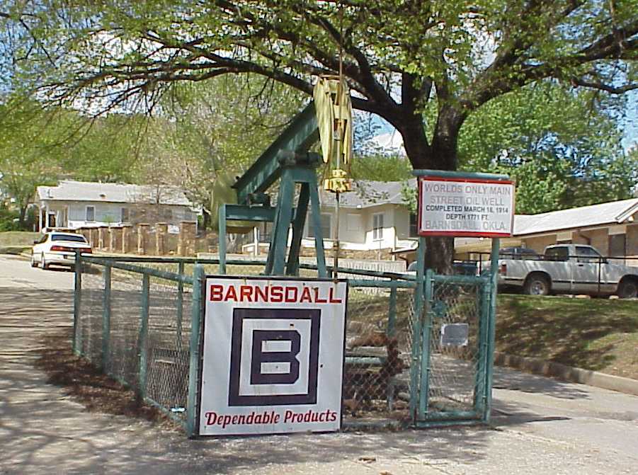
Barnsdall Main Street Well Site — Infobox nrhp | name =Barnsdall Main Street Well Site nrhp type = caption =Oil Well in middle of Main Street, Barnsdall, Oklahoma. location= Barnsdall, Oklahoma lat degrees = 36 | lat minutes = 33 | lat seconds = 41.93 | lat direction = N long… … Wikipedia
Barnsdall, Oklahoma — Infobox Settlement official name = Barnsdall, Oklahoma settlement type = City nickname = motto = imagesize = image caption = image mapsize = 250px map caption = Location of Barnsdall, Oklahoma mapsize1 = map caption1 = subdivision type = Country… … Wikipedia
National Register of Historic Places listings in Osage County, Oklahoma — Location of Osage County in Oklahoma This is a list of the National Register of Historic Places listings in Osage County, Oklahoma. This is intended to be a complete list of the properties and districts on the National Register of Historic Places … Wikipedia
Osage County, Oklahoma — Location in the state of Oklahoma … Wikipedia
Osage County (Oklahoma) — Verwaltung US Bundesstaat: Oklahoma Verwaltungssitz: Pawhuska Adresse des Verwaltungssitzes: County Courthouse PO Box 87 Pawhuska, OK 74056 0087 Gründung: 16. Juli 1907 … Deutsch Wikipedia
National Register of Historic Places listings in Oklahoma — This is a list of properties and historic districts in Oklahoma that are listed on the National Register of Historic Places. Listings are distributed across all of Oklahoma s 77 counties. The following are approximate tallies of current listings… … Wikipedia
National Register of Historic Places listings in Los Angeles, California — For places listed on the National Register in the rest of Los Angeles County, see National Register of Historic Places listings in Los Angeles County, California. Map of all coordinates from Google Map of all coordinates from Bing … Wikipedia
Western architecture — Introduction history of Western architecture from prehistoric Mediterranean cultures to the present. The history of Western architecture is marked by a series of new solutions to structural problems. During the period from the… … Universalium
Tulsa, Oklahoma — Tulsa redirects here. For other uses, see Tulsa (disambiguation). City of Tulsa City Skyline of Downtown Tulsa … Wikipedia
Frank Lloyd Wright — Infobox Architect name=Frank Lloyd Wright mother=Anna Lloyd Jones father=William Russell Cary Wright nationality= American birth date=birth date|1867|6|8 birth place= Richland Center, Wisconsin death date=death date and… … Wikipedia
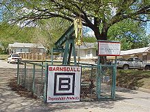 Barnsdall Main Street Well Site (2007)