- Beaver Lake State Park
-
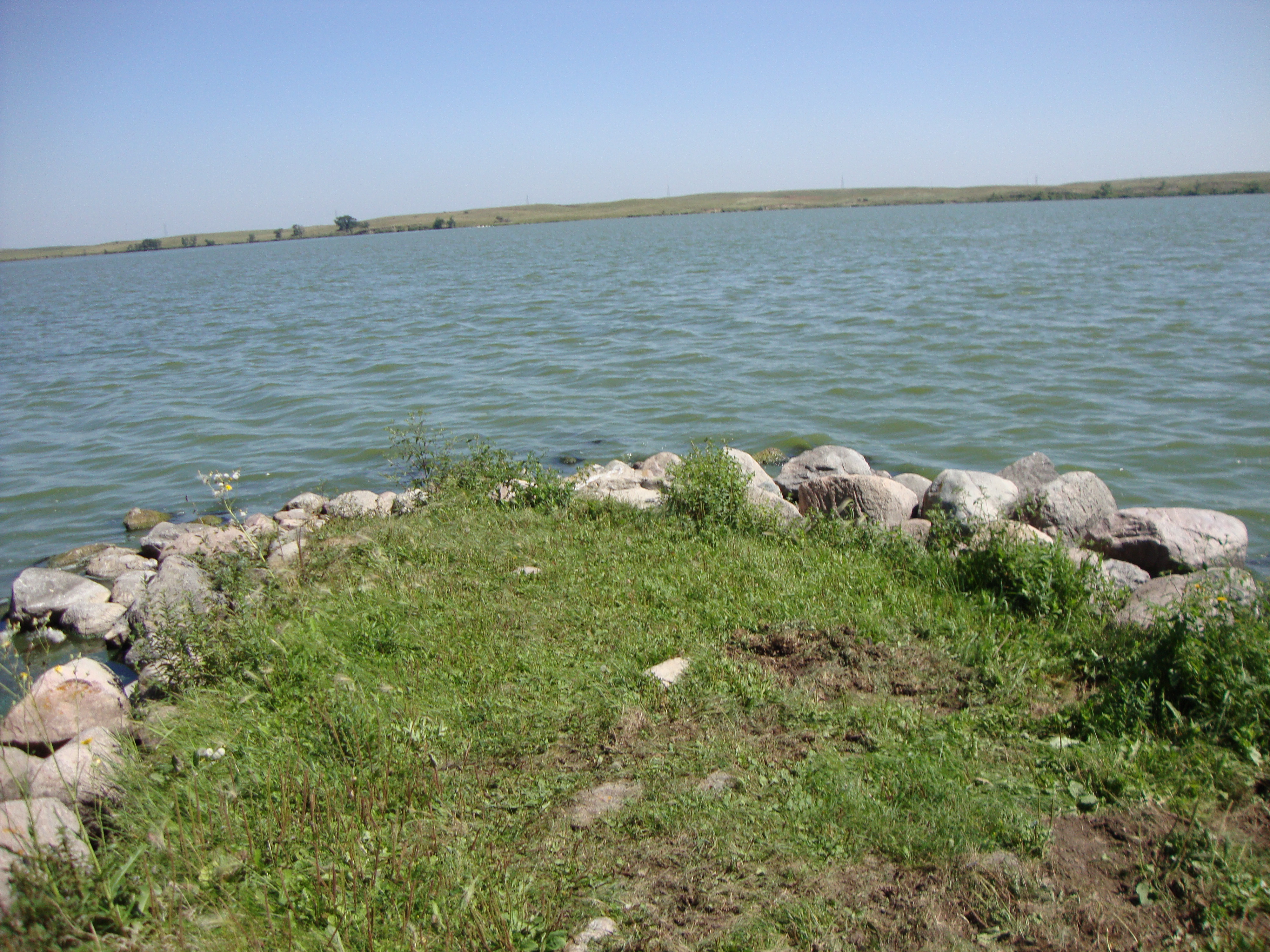
 Beaver Lake im Beaver Lake State Park
Der Beaver Lake State Park ist ein State Park im Logan County im US-Bundesstaat North Dakota. Der 118 Hektar große Park liegt am Westufer des Beaver Lake (Biber-See) in der Rolling Prairie (Etwa: sanft geschwungene Graslandschaft), etwa 27 Kilometer südöstlich von Napoleon. Der vom Beaver Creek gespeiste Beaver Lake erhielt 1933 durch Aufstauung seine heutige Größe von 397 Hektar. Der durchschnittlich 1,7 m tiefe See ist maximal nur 2,1 m tief und hat eine 13 km lange Uferlinie [1].
Inhaltsverzeichnis
Geschichte
Der Park wurde auf Initiative von Siedlern der Counties Logan, McIntosh und Emmons gegründet, die am 14. Juli 1929 die Gründung eines State Parks beschlossen. Das Gelände für den Park wurde im August 1930 erworben und im Juli 1932 wurde der Park eröffnet, doch durch die Weltwirtschaftskrise und die verheerende Dürre in den 1930er Jahren kam der Ausbau des Parks nur langsam voran. Von 1935 bis 1936 legte ein Team der Works Progress Administration Straßen und Wege an, errichtete eine Bootsanlegestelle und baute den Picknickbereich. Ein Gedenkstein erinnert im Park an diese Arbeiten. In den Anfangsjahren war der Park Schauplatz von Pferderennen und diente als Angelplatz für die Siedler der Region.
Flora und Fauna
Das bewaldete Seeufer besteht aus Eschen-Ahorn, Virginischen Traubenkirschen, Weißdorn und Felsenbirnen. Der Park gilt als Vogelbeobachtungsgebiet, häufige Vögel sind Lappentaucher, Pelikane, Kormorane, Pfeifschwäne, Fischreiher, Falken, Rohrdommeln, Strandläufer und Grasmücken. Im Frühling und im Herbst ist der Park Rastplatz für Zugvögel.
Touristische Anlagen
Der Park ist ganzjährig geöffnet, der Besuch ist gebührenpflichtig. Der Park verfügt über einen Campingplatz, Picknickbereich und bietet von Mitte Mai bis Ende September Wassersportmöglichkeiten wie Angeln, Kanu fahren oder Wasserski. Durch den Park führen über acht Kilometer Spazierwege.
Weblinks
- Internetpräsenz des State Parks
- Beaver Lake State Park im Geographic Names Information System des United States Geological Survey
Einzelnachweise
- ↑ Game and Fish Department, North Dakota: Beaver Lake. Abgerufen am 8. Mai 2011.
46.4027545-99.6198327Koordinaten: 46° 24′ 10″ N, 99° 37′ 11″ WKategorie:- State Park in North Dakota
Wikimedia Foundation.