Cumberland Islands

Cumberland Islands
Cumberland Islands
Gewässer Korallenmeer
Geographische Lage 20° 40′ S, 149° 9′ O-20.6666667149.15Koordinaten: 20° 40′ S, 149° 9′ O
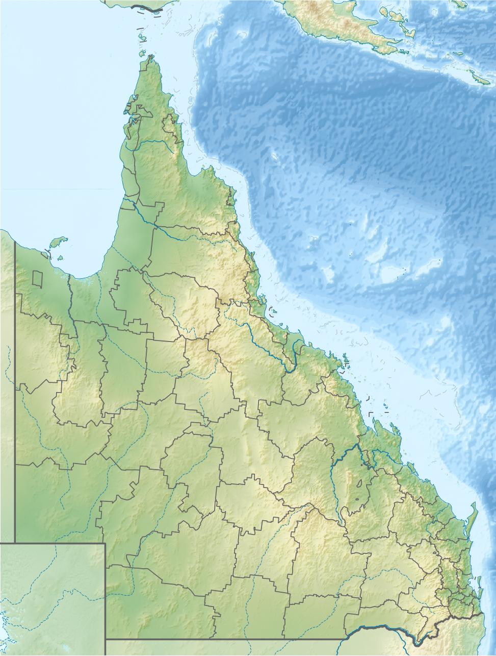
Cumberland Islands (Queensland)
Cumberland Islands
Anzahl der Inseln
Gesamtfläche dep1

Die Gruppe der Cumberland Islands liegt im Great Barrier Reef vor der Küste von Mackay in Queensland, Australien.

Inhaltsverzeichnis

Entdeckung

Cumberland Islands wurden diese Inseln durch James Cook seinerzeit im Jahre 1770 benannt, als er durch die von ihm so benannte Whitsunday-Passage segelte. Der Name für die Cumberland-Inselgruppe geht auf den Duke of Cumberland zurück, der seine damalige Reise unterstützte. Die Whitsunday Island (Pfingstsonntag-Insel) benannte Cook am 3. Juni 1770, an einem Pfingstsonntag.

Insel und Inselgruppen

Zu den Cumberland Islands gehören die Inselgruppen: Witsundays Islands Group, Lindeman Islands Group, Anchor Islands und Sir James Smith Islands. Heute werden die nördlichen Inseln von Shute Harbour aus gesehen zwar üblicherweise zu den Whitsunday Islands und zu den Molle Islands gezählt. Offiziell werden sie allerdings noch den Cumberland Islands zugerechnet und auch so bezeichnet.

Weiter gehören die Inseln Brampton Island, Carlisle, Scawfell, Goldsmith, Cockermouth, Keswick und St. Bees zu den Cumberland Islands.

[1][2]

Auf den Brampton Island, Carlisle, Scawfell, Goldsmith, Cockermouth, Keswick und St. Bees befinden sich Nationalparks. Camping ist auf Goldsmith, Carlisle, Cockermouth, Scawfell und St. Bees möglich.

Weblinks

Einzelnachweise

  1. Information auf soutmolleisland.com.au, abgerufen am 20. Mai 2010
  2. Information auf about-australia.com über die Cumberland Islands Group, abgerufen am 20. Mai 2010

Wikimedia Foundation.

Игры ⚽ Поможем сделать НИР

Schlagen Sie auch in anderen Wörterbüchern nach:

  • Cumberland Islands (Queensland) — For the Cumberland Island of Georgia, USA, see Cumberland Island. The Cumberland Islands are a group of 70 islands on the Great Barrier Reef, off coast from Mackay, Queensland, Australia. The Cumberland Islands are located at 20°34′S 149°08′E /… …   Wikipedia

  • Cumberland Islands — ▪ archipelago, Queensland, Australia       archipelago in the Great Barrier Reef, off the eastern coast of Queensland, Australia. The group comprises more than 70 inner continental islands (land, not coral), including Whitsunday, Lindeman,… …   Universalium

  • Cumberland Islands — /kʌmbələnd ˈaɪləndz/ (say kumbuhluhnd uyluhndz) plural noun a group of islands which extends along the coast of central eastern Qld between Bowen and Mackay; consists of three distinct groups, the Whitsunday Group, the Lindeman Group and the Sir… …  

  • South Cumberland Islands National Park — South Cumberland Islands is a national park in Queensland (Australia), 831 km northwest of Brisbane.Fact sheet* Area: 21.80 km² * Coordinates : coord|20|44|28|S|149|28|25|E|type:landmark region:AU * Date of establishment: ? * Managing authorities …   Wikipedia

  • Cumberland Island — For the Cumberland Islands of Northern Queensland, see Cumberland Islands. Cumberland Island is one of the Sea Islands. Cumberland is the largest in terms of continuously exposed land area of Georgia s barrier islands. It is located on the… …   Wikipedia

  • Cumberland Gap National Historical Park — IUCN Category V (Protected Landscape/Seascape) Fog forming over the gap …   Wikipedia

  • Cumberland Island National Seashore — IUCN Category II (National Park) …   Wikipedia

  • Cumberland and Oxford Canal — U.S. National Register of Historic Places …   Wikipedia

  • Cumberland County Courthouse (Virginia) — Cumberland County Courthouse U.S. National Register of Historic Places …   Wikipedia

  • Cumberland Covered Bridge — U.S. National Register of Historic Places …   Wikipedia

Share the article and excerpts

Direct link
Do a right-click on the link above
and select “Copy Link”