Kasilof River

Kasilof River
Kasilof River
Kasilof River im August

Kasilof River im AugustVorlage:Infobox Fluss/KARTE_fehlt

DatenVorlage:Infobox Fluss/GKZ_fehlt
Lage Kenai-Halbinsel, AlaskaVorlage:Infobox Fluss/FLUSSSYSTEM_fehlt

Vorlage:Infobox Fluss/ABFLUSSWEG_fehlt

Quelle Tustumena Lake
60° 13′ 58″ N, 151° 9′ 49″ W60.232778-151.163611
Vorlage:Infobox Fluss/QUELLHÖHE_fehlt
Mündung Cook Inlet
60.388611-151.303056

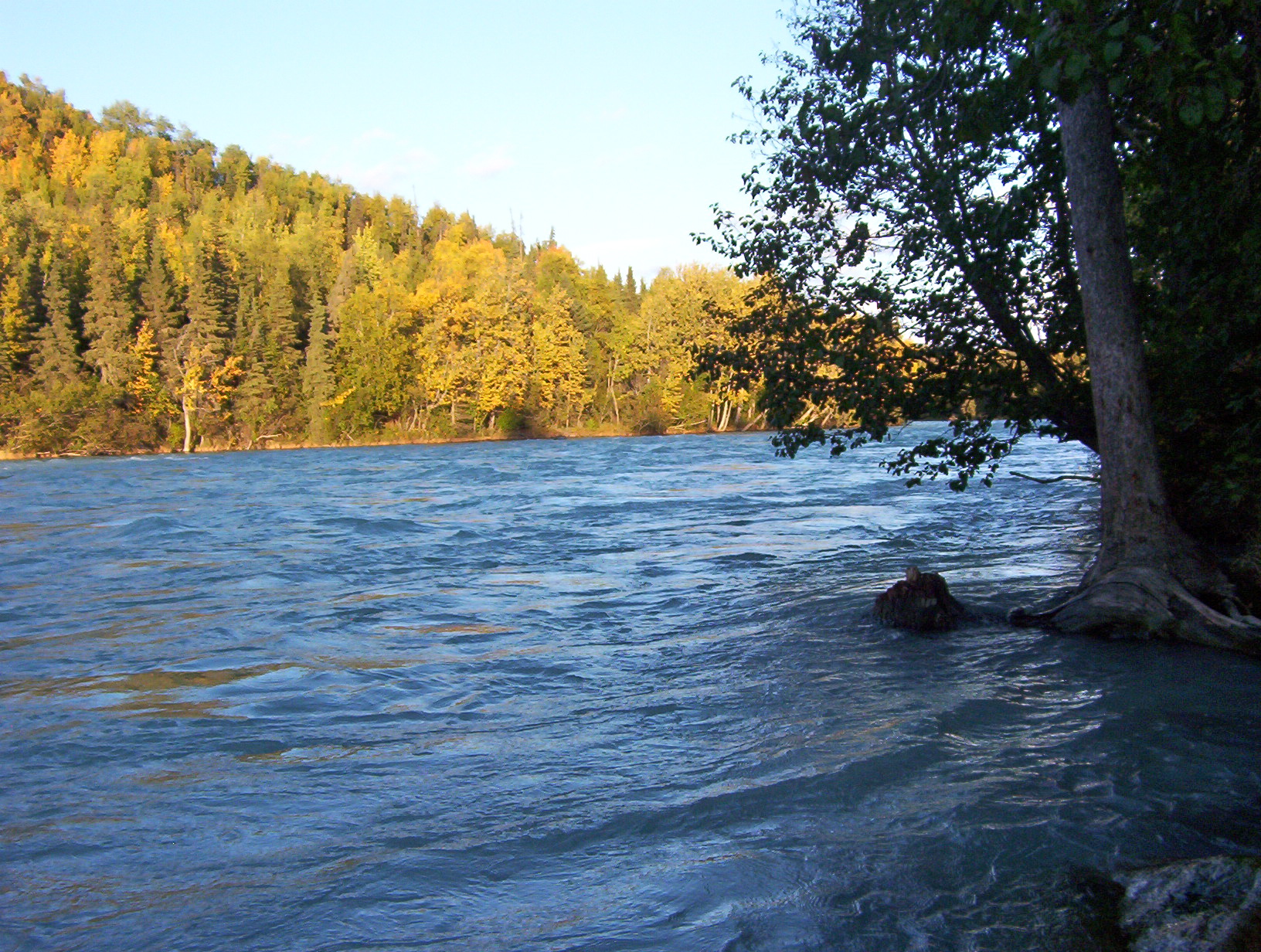
60° 23′ 19″ N, 151° 18′ 11″ W60.388611-151.303056
Vorlage:Infobox Fluss/MÜNDUNGSHÖHE_fehltVorlage:Infobox Fluss/HÖHENUNTERSCHIED_fehlt
Länge 27 kmVorlage:Infobox Fluss/NACHWEISE_fehlenVorlage:Infobox Fluss/EINZUGSGEBIET_fehlt

Vorlage:Infobox Fluss/ABFLUSS_fehlt

Gemeinden Kasilof

Der Kasilof River ist ein Fluss auf der Westseite der Kenai-Halbinsel im Süden von Alaska. Seine Quelle bildet der Tustumena Lake, von dem er in nördlicher Richtung zum Cook Inlet fließt. Am oberen Flusslauf hat der Kasilof eine hohe Fließgeschwindigkeit, die in Verbindung mit diversen Hindernissen, zu einer Klassifizierung der Stufe 2 auf der Wildwasserschwierigkeitsskala führt. Sein von Schluff getrübtes Wasser ist sehr kalt. Der Unterlauf, wo er auf den Sterling Highway trifft, ist ein beliebtes Gebiet für die Lachsfischerei.[1]

Weblinks

Einzelnachweise

  1. The Milepost, 61st edition, ISBN 978-1-892-15426-2, page 616

Wikimedia Foundation.

Игры ⚽ Нужна курсовая?

Schlagen Sie auch in anderen Wörterbüchern nach:

  • Kasilof River — The Kasilof River is a river on the western Kenai Peninsula in southern Alaska at about coord|60|23|N|151|18|W|region:US. It begins at Tustumena Lake and flows northwest to Cook Inlet near Kasilof.The name Kasilof is from a Russian surname.… …   Wikipedia

  • Kasilof, Alaska — Infobox Settlement official name = Kasilof, Alaska settlement type = CDP nickname = motto = imagesize = image caption = image mapsize = 250px map caption = Location of Kasilof, Alaska mapsize1 = map caption1 = subdivision type = Country… …   Wikipedia

  • Kasilof (rivière) — Rivière Kasilof La rivière Kasilof Caractéristiques Longueur 27 km Bassin  ? Débit moyen  ? …   Wikipédia en Français

  • National Register of Historic Places listings in Kenai Peninsula Borough, Alaska — Location of the Kenai Peninsula Borough in Alaska This is a list of the National Register of Historic Places listings in Kenai Peninsula Borough, Alaska. This is intended to be a complete list of the properties and districts on the National… …   Wikipedia

  • List of rivers of Alaska — This is a List of rivers in Alaska, which are at least fifth order according to the Strahler method of stream classification [cite map author = title = Hydrologic Unit Map State of Alaska url = publisher = United States Geological Survey, United… …   Wikipedia

  • Tustumena Lake — Tustemena Gletscher mit Schmelzwassersee und Tustemena Lake im Hintergrund Geographische Lage Kenai Halbinsel, Alaska …   Deutsch Wikipedia

  • Kalifornsky village, Alaska — Kalifornsky village was a Dena ina Athabaskan village about ten miles south of Kenai and four miles north of the mouth of the Kasilof River. It is best known as the birthplace of the self taught Dena ina writer and ethnographer Peter… …   Wikipedia

  • Península de Kenai — Saltar a navegación, búsqueda Este artículo trata sobre la península geográfica. Para el distrito, véase Distrito de la Península de Kenai (Alaska). La peninsula de Kenai, en Alaska …   Wikipedia Español

  • Касилоф — англ. Kasilof River Река осенью …   Википедия

  • State Parks in Alaska — Inhaltsverzeichnis 1 Region Anchorage 2 Region Copper River 3 Region Interior 4 Region Kenai Halbinsel …   Deutsch Wikipedia

Share the article and excerpts

Direct link
Do a right-click on the link above
and select “Copy Link”