Lake Rotoiti (Bay of Plenty)

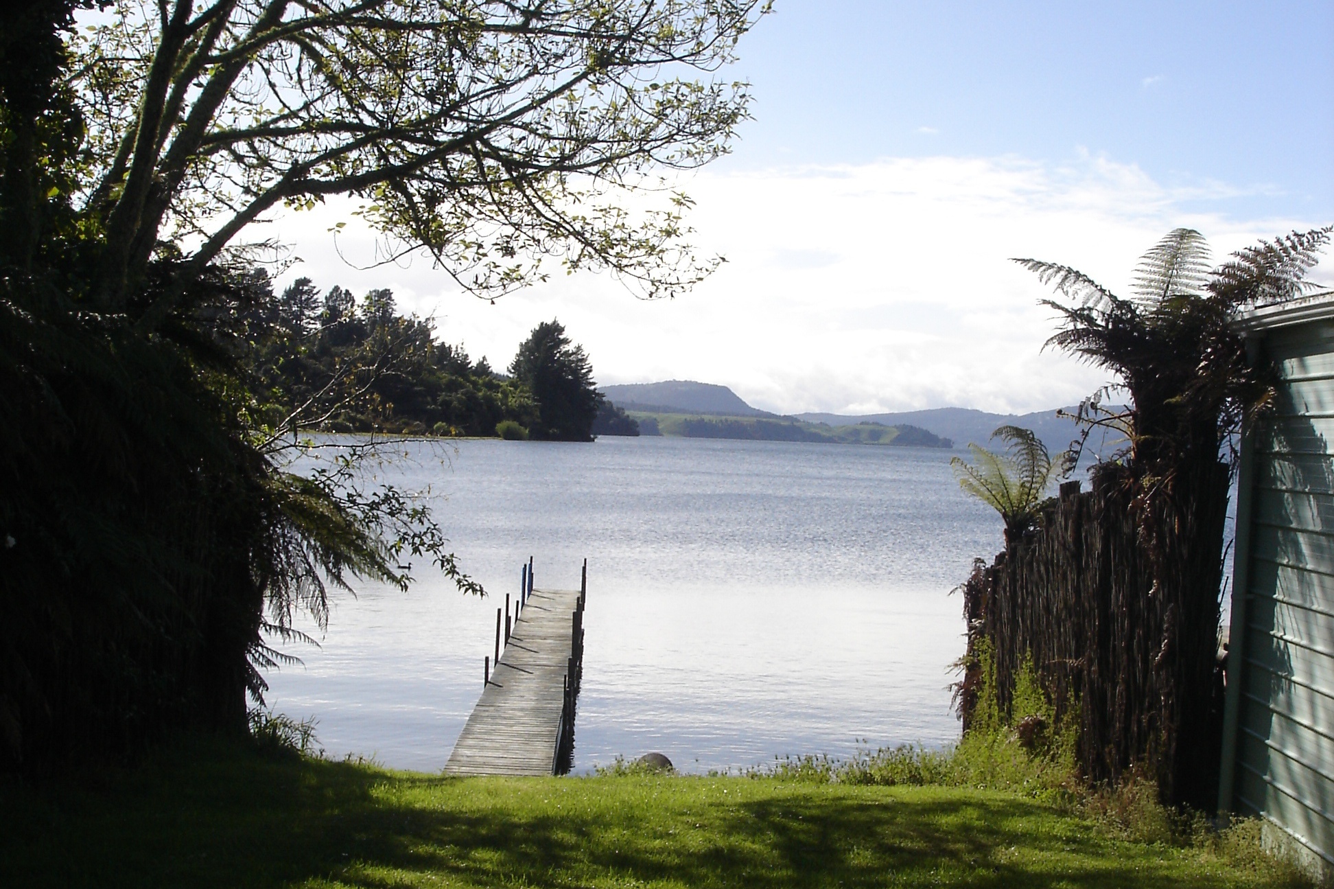
Lake Rotoiti (Bay of Plenty)
Lake Rotoiti (2008)
Lake Rotoiti (2008)
Geographische Lage Rotorua-Distrikt, Bay of Plenty, Nordinsel
Abfluss Kaituna River
Daten
Koordinaten 38° 2′ 20″ S, 176° 25′ 40″ O-38.039176.42769444444Koordinaten: 38° 2′ 20″ S, 176° 25′ 40″ O
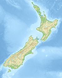
Lake Rotoiti (Bay of Plenty) (Neuseeland)
Lake Rotoiti (Bay of Plenty)
Höhe über Meeresspiegel f1279 m[1]
Fläche 34,3 km² [1]dep1f5
Länge 15 km [1]dep1f6
Breite 3,6 km [1]dep1f7
Maximale Tiefe 93.5 [1]dep1f10
Mittlere Tiefe 33[1]dep1f11
Besonderheiten

Kratersee

Lake Rotoiti ist ein See in der Region Bay of Plenty in Neuseeland. Er ist der nordwestlichste einer Kette von Seen in der Okataina-Caldera und liegt nahe der Nordküste des bekannteren Lake Rotorua, mit dem er durch den „Ohau Channel“ verbunden ist. Er entwässert in den Kaituna River, der bei Maketu in die Bay of Plenty mündet. Der Māori-Name „Rotoiti“ - „Der kleine See“ entstand, da der Entdecker Ihenga, der auch den Lake Rotorua entdeckte, angeblich nur einen kleinen Teil des Sees sah.

Der See leidet unter hohen Stickstoffbelastungen. 2008 wurde eine Barriere fertiggestellt, die verhindert, dass nährstoffreiches Wasser des Lake Rotorua vor seinem Abfluss in den Kaituna River auch diesen See verschmutzt. [2]

Einzelnachweise

  1. a b c d e f Viner, A.B. (Hrsg.): Inland waters of New Zealand, S. 471–474, Wellington: DSIR Science Information Publishing Centre 1987, ISBN 0-477-06799-9
  2. Ohau Channel Diversion Wall Launched (20. Oktober 2008). Abgerufen am 16. Dezember 2008.

Weblinks

 Commons: Lake Rotoiti (Bay of Plenty) – Sammlung von Bildern, Videos und Audiodateien

Wikimedia Foundation.

Игры ⚽ Нужен реферат?

Schlagen Sie auch in anderen Wörterbüchern nach:

  • Lake Rotoiti, Bay of Plenty — Infobox lake lake name = Lake Rotoiti image lake = caption lake = image bathymetry = caption bathymetry = location = Rotorua District, Bay of Plenty Region, North Island coords = type = crater lake inflow = outflow = Kaituna River catchment =… …   Wikipedia

  • Lake Rotoiti — is the name of two lakes in New Zealand:*Lake Rotoiti, Bay of Plenty, in the North Island *Lake Rotoiti, Tasman, in the South Island …   Wikipedia

  • Lake Rotoiti — bezeichnet zwei Seen in Neuseeland: Lake Rotoiti (Tasman) im Nelson Lakes National Park in der Region Tasman auf der Südinsel Lake Rotoiti (Bay of Plenty) auf der Nordinsel Diese Seite ist eine Begriffskl …   Deutsch Wikipedia

  • Lac Rotoiti, Bay of Plenty — Lac Rotoiti Lac Rotoiti Administration Pays Nouvelle Zélande …   Wikipédia en Français

  • Rotoiti — is: *Lake Rotoiti, Bay of Plenty, a lake in the Bay of Plenty area of New Zealand *Lake Rotoiti, Tasman, a lake in the Tasman area of New Zealand ** Rotoiti , the former name of Saint Arnaud, New Zealand, a village on the shores of the lake *… …   Wikipedia

  • Lake Rotoehu — Infobox lake lake name = Lake Rotoehu image lake = Lake Rotoehu, Bay of Plenty, New Zealand, 3 April 2008.jpg caption lake = image bathymetry = caption bathymetry = location = North Island coords = type = inflow = outflow = sink hole in the… …   Wikipedia

  • Lake Okataina — Luftbild aus Süden Geographische Lage Bay of Plenty (Region), Nordinsel (Neuseeland) Daten …   Deutsch Wikipedia

  • Lake Rotorua — Geographische Lage Rotorua Distrikt, Bay of Plenty, Neuseeland Zuflüsse Ngongotaha River, Utahina, Awahou …   Deutsch Wikipedia

  • Lake Rotorua — Infobox lake lake name = Lake Rotorua image lake = Rotorua ALake.jpg caption lake = image bathymetry = caption bathymetry = location = Rotorua District, Bay of Plenty Region, North Island coords = coord|38|05|S|176|16|E|type:waterbody… …   Wikipedia

  • Lake Okataina — Infobox lake lake name = Lake Okataina image lake = LakeOkataina.jpg caption lake = Aerial view from the south image bathymetry = caption bathymetry = location = Bay of Plenty, North Island coords = coord|38|07|S|176|25|E|region:NZ… …   Wikipedia

Share the article and excerpts

Direct link
Do a right-click on the link above
and select “Copy Link”