- Ohauroro Island
-
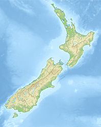
Ohauroro Island Gewässer Pazifischer Ozean Geographische Lage 35° 1′ 10″ S, 173° 45′ 16″ O-35.019312715556173.75435829167116Koordinaten: 35° 1′ 10″ S, 173° 45′ 16″ O Länge 500 m Breite 300 m Fläche 0,12 km² Höchste Erhebung 116 m Einwohner (unbewohnt) Ohauroro Island oder Peach Island ist eine Insel im Far North Distrikt der Region Northland auf der Nordinsel Neuseelands.
Die Insel liegt mitten in der Einfahrt zum Whangaroa Harbour und ist vom Festland 275 m entfernt.[1] Sie ist etwa 550 m lang und 300 m breit und erreicht eine Höhe von 116 m.
Die Insel war Standort eines Pā des Hapu Ngatirua vom Iwi Ngati Kahu und ist heute wegen ihrer Bedeutung für die Māori als „Ohauroro Island Maori Reserve & Pa“ unter Schutz gestellt.[2]
Quellen
Weblinks
Kategorien:- Unbewohnte Insel
- Insel (Neuseeland)
- Insel (Australien und Ozeanien)
- Insel (Pazifischer Ozean)
- Northland (Region)
Wikimedia Foundation.

