- Paparore
-
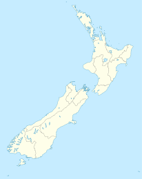
Paparore Koordinaten 34° 59′ S, 173° 12′ O-34.979444444444173.20555555556Koordinaten: 34° 59′ S, 173° 12′ O Region Northland Distrikt Far North Distrikt Paparore ist eine kleine Siedlung an der Basis der Aupouri Peninsula im Far North Distrikt der Region Northland auf der Nordinsel Neuseelands. Sie liegt etwa 4 km südlich von Waiharara und 3 km nördlich von Waipapakauri an einer Nebenstraße des State Highway 1. Östlich des Ortes liegt der Naturhafen Rangaunu Harbour. Die Wirtschaft des Ortes ist von der Milchwirtschaft geprägt.[1]
Bildung
Der Ort hat eine Grundschule. Die an der West Coast Road gelegene Paparore School ist eine koedukative Grundschule für die 1. bis 6. Klasse und hatte 2009 ein Decile rating von 3 und 113 Schüler.[2]
Einzelnachweise
- ↑ Das Neuseelandbuch, NZ Visitor Publications Ltd., Nelson 2003 ISBN 1-877339-00-8 S. 158
- ↑ Te Kete Ipurangi - Paparore School. Bildungsministerium Neuseelands. Abgerufen am 29. Januar 2011.
- New Zealand Travel Atlas, Wise Maps Auckland. ISBN 0-908794-47-9
Kategorien:- Ort in der Region Northland
- Northland (Region)
Wikimedia Foundation.

