Pidgeon Island

Pidgeon Island

Vorlage:Infobox Insel/Wartung/Bild fehltVorlage:Infobox Insel/Wartung/Höhe fehlt

Pidgeon Island
Gewässer Südlicher Ozean
Inselgruppe Windmill Islands
Geographische Lage 66° 19′ 0″ S, 110° 27′ 0″ O-66.316666666667110.45Koordinaten: 66° 19′ 0″ S, 110° 27′ 0″ O
Pidgeon Island (Antarktis)
Pidgeon Island
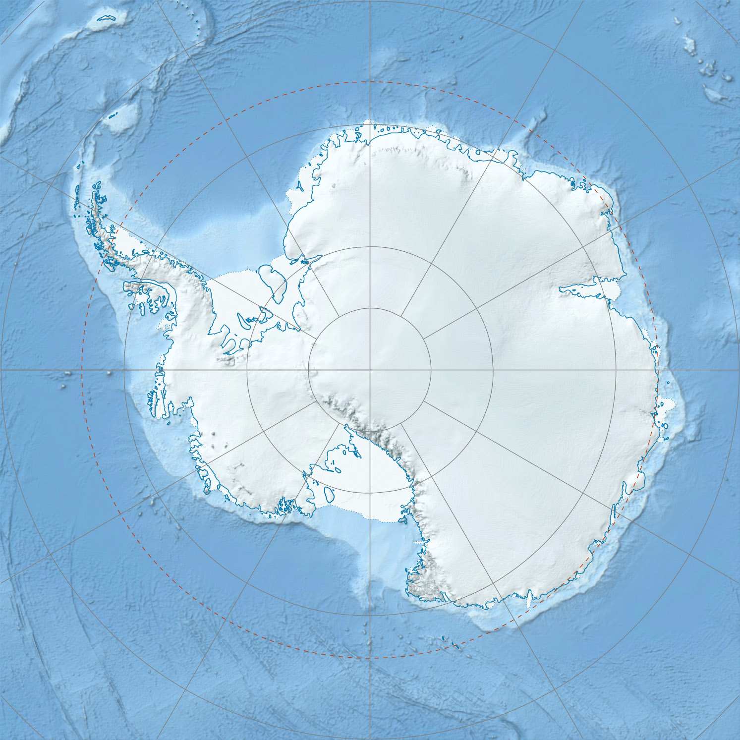
Länge 2,1 km
Breite 1,4 km
Fläche 1 km²
Einwohner (unbewohnt)

Pidgeon Island ist eine felsige antarktische Insel zwischen der Midgley Island und der Mitchell Peninsula in der Gruppe der Windmill Islands.

Sie wurde bei der Befliegung der Gegend während der Operation Highjump und der Operation Windmill 1947/48 erstmals kartografisch erfasst. Namensgeber war der Fotogast der Operation, Highjump E. C. Pidgeon.

Lynsky Cove ist eine kleine Bucht auf der Nordseite der Insel. Ihr Namensgeber ist James E. Lynsky, USN, ein Mitglied der Besatzung von Wilkes Station im Jahre 1958.

Die Insel liegt nur 4,5 km Luftlinie südwestlich der Casey-Station, und ist durch den minimal 300 Meter breiten Robertson Channel vom Festland getrennt. Nächstgelegene Insel ist Warrington Island im Süden, getrennt durch eine nur 85 Meter breite Wasserstraße.

Weblinks


Wikimedia Foundation.

Игры ⚽ Нужно сделать НИР?

Schlagen Sie auch in anderen Wörterbüchern nach:

  • Pidgeon Island — (coord|66|19|S|110|27|E) is a rocky Antarctic island, a mile long, between Midgley Island and Mitchell Peninsula in the Windmill Islands. It was first mapped from air photos taken by USN Operation Highjump and Operation Windmill in 1947 and 1948 …   Wikipedia

  • Harry Pidgeon — (1869 ndash; 1954), American sailor, was the second solo person to circumnavigate the world, after Joshua Slocum, and the first person to do so twice. On both trips, he sailed a 34 foot yawl named the Islander .Pidgeon was born on a farm in Iowa …   Wikipedia

  • List of Antarctic and sub-Antarctic islands — This is a List of Antarctic and sub Antarctic islands. Sub Antarctic islands are islands in the Southern Ocean around Antarctica north of the Antarctic Circle (66° 33 38 ). Antarctic islands are the islands in the Southern Ocean or in the seas… …   Wikipedia

  • Nye Islands — (66°10′S 110°25′E / 66.167°S 110.417°E / 66.167; 110.417) is a two small islands lying between Midgley Island and Pidgeon Island, in the Windmill Islands. The …   Wikipedia

  • Pigeon-Insel — beziehungsweise Pigeon Inseln ist: ein alternativer Name für die Hauptinsel der Credner Inseln die deutsche Bezeichnung von Pidgeon Island in der Antarktis Diese Seite ist eine Begriffsklärung zur Unterscheidun …   Deutsch Wikipedia

  • Mound builder (people) — For other uses, see Mound builder (disambiguation). Monks Mound, located at the Cahokia Mounds UNESCO World Heritage Site near Collinsville, Illinois, is the largest Pre Columbian earthwork in America north of Mesoamerica …   Wikipedia

  • Pigeon (disambiguation) — Pigeon= Pigeon is a common name for birds of the taxonomic family Columbidae, whose most common species is Rock Pigeon which gave rise to the Domestic Pigeon and the Feral Pigeon.Pigeon may also refer to: * The Pigeon , novella by Patrick Süskind …   Wikipedia

  • Liste von Kriegsfilmen — Es ist teilweise umstritten, welche Spielfilme als „Kriegsfilme“ gelten können. Wie im Hauptartikel Kriegsfilm dargelegt, gibt es die Auffassung, nur die Thematisierung moderner Kriege rechtfertige das Etikett „Kriegsfilm“. Hiervon abweichend… …   Deutsch Wikipedia

  • Monsters, Inc. — Monsters, Inc. Theatrical poster Directed by Pete Docter Produced by …   Wikipedia

  • Brooklyn Eastern District Terminal — Infobox SG rail railroad name=Brooklyn Eastern District Terminal logo size= old gauge= marks=BEDT locale=New York New Jersey start year=1906 (marine) 1907 (railroad) end year=1983 hq city=Brooklyn, New YorkThe Brooklyn Eastern District Terminal… …   Wikipedia

Share the article and excerpts

Direct link
Do a right-click on the link above
and select “Copy Link”