Te Hapua

Te Hapua

p1

Te Hapua
Te Hapua (Neuseeland)
Te Hapua
Koordinaten 34° 31′ S, 172° 55′ O-34.517444444444172.90986944444Koordinaten: 34° 31′ S, 172° 55′ O
Region Northland
Distrikt Far North Distrikt
Te Hapua

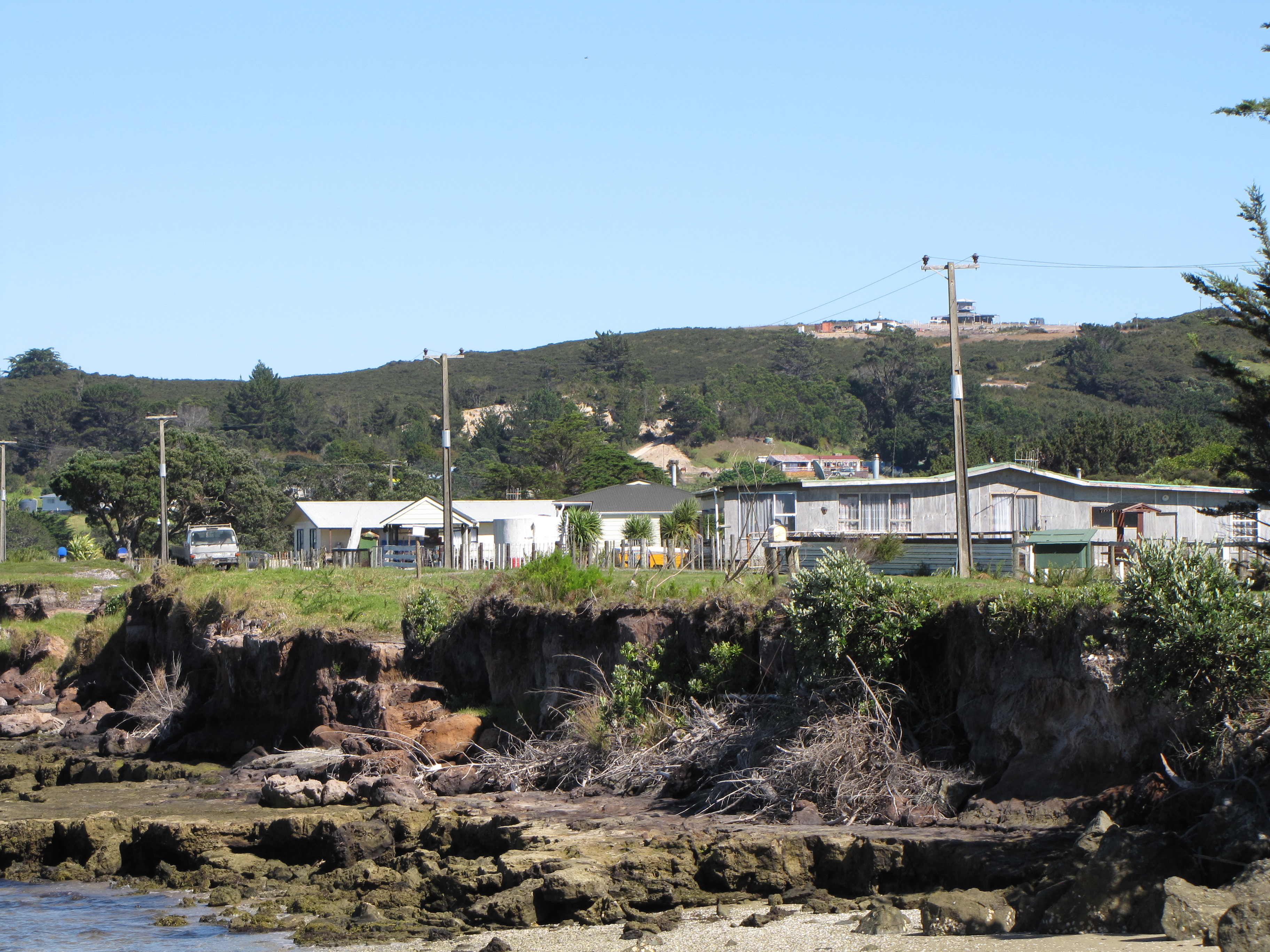
Te Hapua ist eine kleine Siedlung in der Region Northland auf der Nordinsel Neuseelands.

Sie liegt nördlich der Mündung der Snipe Bay, eines der Arme des Parengerenga Harbour. Der Ort ist über Waitiki Landing vom etwa 7 km südwestlich gelegenen State Highway 1 aus erreichbar. Nächstgelegene Siedlung ist Paua auf der Südseite der Snipe Bay. Die nächste größere Siedlung ist Te Kao etwa 30 km südlich, die nächstgelegene Stadt Kaitaia.

Einzelnachweise


Wikimedia Foundation.

Игры ⚽ Нужно решить контрольную?

Schlagen Sie auch in anderen Wörterbüchern nach:

  • Te Hapua — Infobox Settlement name = Te Hapua subdivision type = Country subdivision name = New Zealand subdivision type1= Region subdivision name1= Northland Region subdivision type2= District subdivision name2= Far North District pushpin latd = 34 latm =… …   Wikipedia

  • List of kings of Persia — History of Greater Iran until the rise of modern nation states Pre modern …   Wikipedia

  • Matiu Rata — Hon. Matiu Rata MP 32nd Minister of Māori Affairs In office 8 December 1972 – 12 December 1975 Preceded by Duncan MacIntyre …   Wikipedia

  • Māori-Landmarsch von 1975 — Der Māori Landmarsch von 1975 war ein 29 Tage dauernder Protestmarsch der Māori für ihre Landrechte und gegen die weiterer Enteignungen, Landnahme und Verkauf von Māori Land. Der Marsch führte von der Nordspitze Neuseelands bis hinunter nach… …   Deutsch Wikipedia

  • Список правителей Элама — Эта статья содержит незавершённый перевод с английского языка. Вы можете помочь проекту, переведя её до конца …   Википедия

  • List of towns in New Zealand — This is a list of towns in New Zealand. The term town has no current statutory meaning in New Zealand, the few Town Districts having been abolished in 1989 or earlier. No particular size minimum has been adopted. Many would be called villages in… …   Wikipedia

  • Hokianga — Image of the Hokianga generated by NASA s World Wind program Hokianga (or the Hokianga) is an area surrounding the Hokianga Harbour, also known as The Hokianga River, a long estuarine drowned valley on the west coast in the north of the North… …   Wikipedia

  • Timeline of New Zealand history — This is a timeline of the History of New Zealand. Pre Colonial Timeline (to 1839) Before 1600* 180: Lake Taupo erupts violently. * 1000 1300: Archaeological evidence (such as the cabbage tree ovens on the Otago Peninsula) indicates that… …   Wikipedia

  • Parengarenga Harbour — is a natural harbour close to the northernmost point on the North Island of New Zealand. Located at the northern end of the Aupouri Peninsula, [cite encyclopedia|url=http://www.teara.govt.nz/Places/Northland/NorthlandPlaces/1/en|title=Aupōuri… …   Wikipedia

  • Whina Cooper — addressing the Māori Land March at Hamilton in 1975 Born Hohewhina Te Wake 9 December 1895(1895 12 09) …   Wikipedia

Share the article and excerpts

Direct link
Do a right-click on the link above
and select “Copy Link”