- Tung Wan Tsai North
-
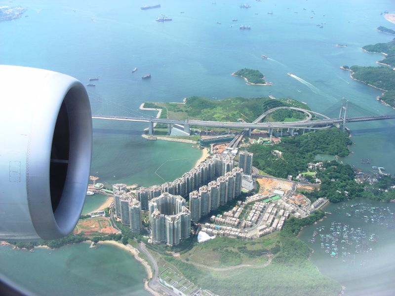
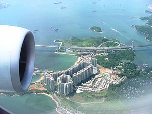 Ma Wan Island (Hongkong)
Ma Wan Tung Wan Tsai North[1], bzw. (in Mandarin) die Dongwanzaibei-Stätte[2], ist eine neolithische bis frühbronzezeitliche archäologische Stätte auf Ma Wan Island[3] im Distrikt Tsuen Wan[4] der Neuen Territorien von Hongkong (Xianggang). Sie liegt auf dem Gebiet des Dorfes Ma Wan[5] der Gemeinde Ma Wan[6].
Die Stätte wird auf die Zeit 3700 v. Chr. bis 500 v.Chr. datiert. Es handelt sich um eine für das Perlfluss-Delta charakteristische Sandbank-Stätte. Sie hat eine Fläche von 1.500 Quadratmetern. Ausgegraben wurden zwanzig Gräber, entdeckt wurden Steinwerkzeuge, Keramik, Knochen- und Muschelschalenutensilien, außerdem Überreste von fünfzehn Personen, darunter sieben gut erhaltene Skelette.
Die Stätte wurde 1997 vom Archäologischen Institut der Chinesischen Akademie der Sozialwissenschaften und dem Amt für Kulturgüter und -stätten von Hongkong[7] untersucht und gehörte zu den Top Ten der archäologischen Entdeckungen des Jahres.
Die Funde liefern wichtige Informationen für das Verständnis der prähistorischen Kultur von Hong Kong.
Inhaltsverzeichnis
Literatur
- 香港东湾仔北遗址新石器时代人骨 (Online bei www.dsjyj.com.cn)
- 遗址名称:香港东湾仔北遗址 (Online bei www.neycs.cn)
Siehe auch
Weblinks
- chinaculture.org: Dongwanzaibei yizhi
- lcsd.gov.hk : Archaeological Excavation at Tung Wan Tsai North, Ma Wan
- sach.gov.cn: Xianggang Dongwanbeizi yizhi
- Archaeological Excavation in Tung Wan Tsai, Ma Wan in 1997
- Heritage Preservation in Hong Kong Well Rewarded
- Archaeological Evidence Ties Hong Kong to the Mainland
- Archaeological Background
- Xianggang Dongwanzibei yizhi
Einzelnachweise und Fußnoten
- ↑ chin. Mawan Dongwanzaibei yizhi 马湾东湾仔北遗址 (Angaben hier und in den folgenden Fußnoten in Mandarin)
- ↑ Dongwanzaibei yizhi 东湾仔北遗址
- ↑ 马湾岛
- ↑ 荃湾区
- ↑ 马湾村
- ↑ 马湾乡
- ↑ Xianggang guwu guji banshichu 香港古物古迹办事处
22.335114.07Koordinaten: 22° 20′ N, 114° 4′ OKategorien:- Jungsteinzeit
- Bronzezeit
- Hongkong
- Archäologischer Fundplatz in China
Wikimedia Foundation.