Aldergrove Airport

Aldergrove Airport
Belfast International Airport
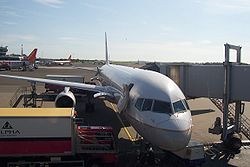
Kenndaten
IATA-Code BFS
ICAO-Code EGAA
Koordinaten
Verkehrsanbindung
Entfernung vom Stadtzentrum
Straße
Basisdaten
Eröffnung 1921
Betreiber Belfast International Airport Ltd.
Fläche
Passagiere 5.044.924 [1] (2006)
Luftfracht 50.493 t [1] (2006)
Flug-
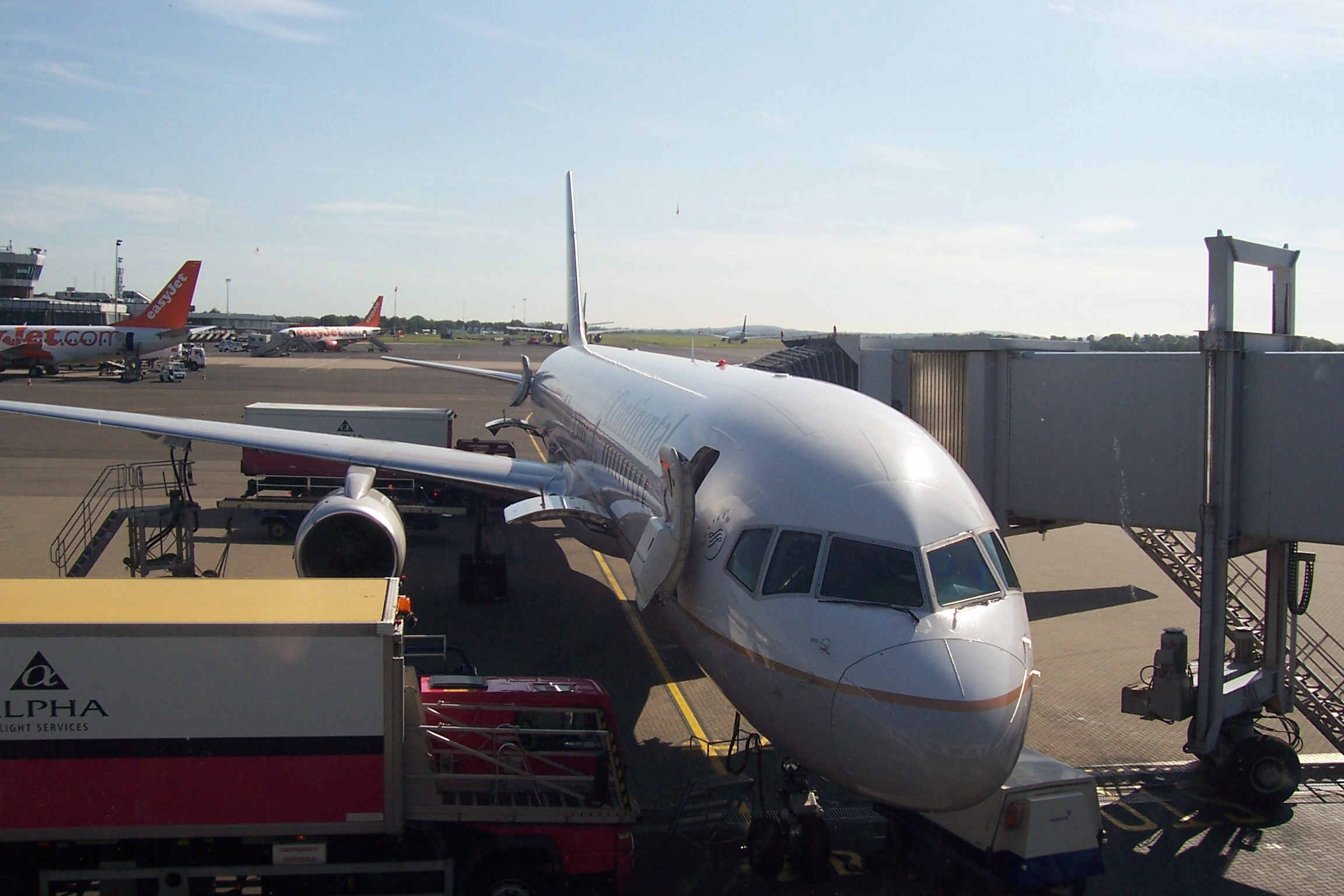
bewegungen
77.044 [1] (2006)
Start- und Landebahnen
07/25 2.780 m × 45 m Asphalt
17/35 1.951 m × 45 m Asphalt

Belfast International Airport ist der größere der beiden Flughäfen der nordirischen Hauptstadt Belfast und liegt 25 km westlich der Stadt. Er wird auch Aldergrove Airport genannt. Aldergrove ist eine Gemeinde im Südwesten des Flughafens.

Neben dem Flughafen liegt der Militärflughafen der britischen Luftwaffe RAF Aldergrove (RAF = Royal Air Force), der dieselben Bahnen nutzt.

Inhaltsverzeichnis

Fracht

Der Belfast International Airport ist einer der wichtigsten regionalen Luftfrachtflughäfen in Großbritannien mit einem Umschlag von 50.000 Tonnen Luftfracht im Jahre 2004. Aufgrund Nordirlands geographischer Isolation vom Festland Großbritanniens und von Europa, sind überlegene Luftfrachtdienstleistungen lebenswichtig. Der Belfast International Airport ist so u.a. Umschlagplatz für den allabendlichen königlichen Postbetrieb für Nordirland.

Anfahrt

Bus: Linie 300 von Translink (Ulsterbus) verkehrt bis zu alle zehn Minuten ab City Hall (40 min) [2]

Geschichte

  • November 1917: RAF Aldergrove wird zum Ausbildungsflughafen während des Ersten Weltkrieges.
  • Mai 1925: Der Flughafen wird Standort der Special Reserve-Einheit 502
  • 31. Mai 1931: Erster Zivilflug nach Nordirland von Glasgow
  • 28. Oktober 1963: Wiedereröffnung nach dem Krieg und Einweihung des Terminals durch die englische Königinmutter

Einzelnachweise

  1. a b c ACI
  2. [1]/ Fahrplan

Weblinks


Wikimedia Foundation.

Игры ⚽ Нужна курсовая?

Schlagen Sie auch in anderen Wörterbüchern nach:

  • Aldergrove, Edmonton — Aldergrove is a residential neighbourhood in west Edmonton, Alberta, Canada.The neighbourhood is bounded on the north by 87 Avenue, on the east by 178 Street, on the south by Whitemud Drive and on the west by Anthony Henday Drive. The Anthony… …   Wikipedia

  • Aldergrove, County Antrim — Aldergrove is a small village in County Antrim, Northern Ireland, 6 miles from Antrim and 18 miles from Belfast. It lies within the Antrim Borough Council area.The name Aldergrove is more commonly used to describe the major airfield to the north… …   Wikipedia

  • Aldergrove — is the name of multiple places:* Aldergrove, British Columbia * Aldergrove, Northern Ireland, a village close to the site of: **RAF Aldergrove **Belfast International Airport * Aldergrove, Edmonton, a neighbourhood …   Wikipedia

  • Aldergrove railway station — Infobox UK disused station name = Aldergrove locale = Aldergrove borough = County Antrim years = 12 November 1871 events = Station opened years1 = 12 September 1960 events1 = Station closed platforms = Aldergrove railway station served Aldergrove …   Wikipedia

  • Belfast International Airport — Belfast International Airport …   Deutsch Wikipedia

  • Belfast International Airport — Infobox Airport name = Belfast International Airport IATA = BFS ICAO = EGAA type = Public owner = TBI plc operator = Belfast International Airport Ltd. city served = Belfast location = Aldergrove, County Antrim elevation f = 268 elevation m = 82… …   Wikipedia

  • RAF Aldergrove — Infobox Military Unit unit name=RAF Aldergrove caption=Station badge dates=1918 ndash; Present country=United Kingdom branch=Royal Air Force command structure= type=Operational role=Air support to Army and PSNI activities size= current commander …   Wikipedia

  • Belfast International Airport — Aéroport international de Belfast Aéroport international de Belfast Code AITA BFS Code OACI EGAA Pays Irlande du Nord, Royaume Uni …   Wikipédia en Français

  • George Best Belfast City Airport — Infobox Airport name = George Best Belfast City Airport nativename = Belfast City Airport image width = 160 caption = IATA = BHD ICAO = EGAC type = Public owner = Ferrovial operator = Belfast City Airport Ltd. city served = Belfast location =… …   Wikipedia

  • Belfast — This article is about the capital of Northern Ireland. For other uses, see Belfast (disambiguation). Coordinates: 54°35′49″N 5°55′48″W / 54.597°N 5.930°W / …   Wikipedia

Share the article and excerpts

Direct link
Do a right-click on the link above
and select “Copy Link”