Hagemeister Island

Hagemeister Island
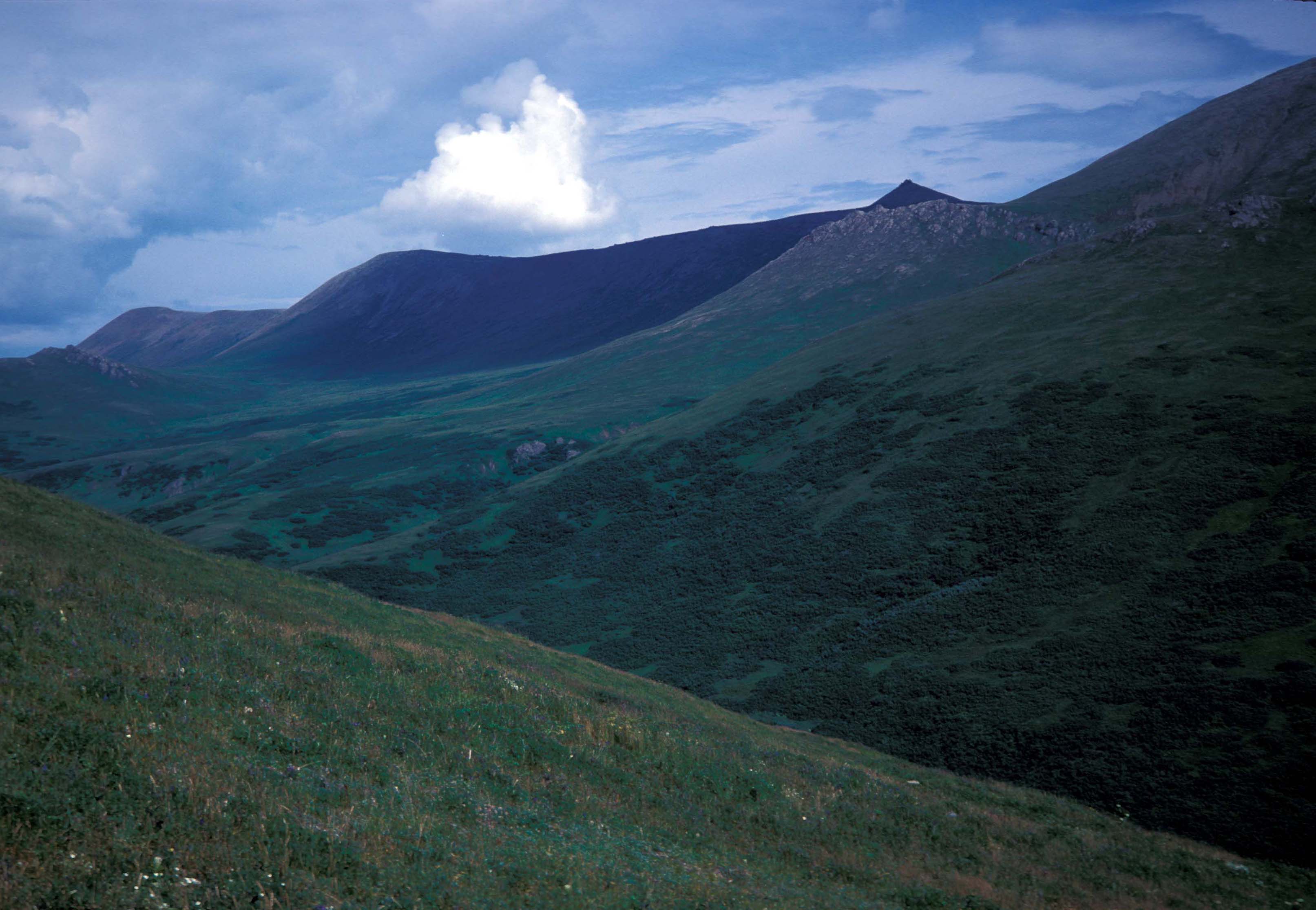
Hagemeister Island
Im Süden von Hagemeister Island
Gewässer Beringmeer
Geographische Lage 58° 40′ N, 160° 56′ W58.662778-160.934444184Koordinaten: 58° 40′ N, 160° 56′ W
Hagemeister Island (Alaska)
Hagemeister Island
Länge 26 km
Fläche 300 km²
Höchste Erhebung 184 m
Einwohner (unbewohnt)

Hagemeister Island ist eine unbewohnte Insel in Alaska. Die Insel liegt am nördlichen Ende der Bristol Bay am Eingang der Togiak Bay. Hagemeister ist 26 km lang und ca. 300 km² groß. Der höchste Punkt liegt 184 Meter über dem Meeresspiegel.

Sie erhielt ihren Namen nachdem deutsch-baltischen Seefahrer und Gouverneur der Russisch-Amerikanischen Kompagnie Ludwig August von Hagemeister (russisch Leonti Andrianowitsch Gagemeister). Erstmals wurde der Name von Gawriil Andrejewitsch Sarytschew als Ostrov Gagemeister in den Seekarten verzeichnet.

Die Insel ist Teil des Alaska Maritime National Wildlife Refuge.

Weblinks


Wikimedia Foundation.

Игры ⚽ Нужно решить контрольную?

Schlagen Sie auch in anderen Wörterbüchern nach:

  • Hagemeister Island — Location map Alaska label= lat=58.6627991 long= 160.83460 position=right width=250 float=right caption=Location in AlaskaHagemeister Island is an island in the U.S. state of Alaska, located on the north shore of Bristol Bay at the entrance to… …   Wikipedia

  • Hagemeister — ist der Familienname von Emanuel Friedrich Hagemeister (1764–1819), deutscher Rechtswissenschaftler Erich Hagemeister (1878–1958), deutscher Schriftsteller, Dramaturg und Dramatiker Johannes Hagemeister (1502–1569), deutscher römisch katholischer …   Deutsch Wikipedia

  • Isla Hagemeister — Interior de la isla Localización País …   Wikipedia Español

  • Walrus Island, Pribilof Islands — Location map Alaska label= lat=57.262618 long= 169.646823 position=right width=250 float=right caption=Location in AlaskaWalrus Island is a small islet located 15 km east of Saint Paul Island, Alaska in the Bering Sea. It is part of the Pribilof… …   Wikipedia

  • Nunivak Island — Nunivak Maskette – Nunivak …   Wikipedia

  • Medny Island — Map showing position of Commander Islands to the east of Kamchatka. The smaller island in the east is Medny and the larger island is Bering Island. Medny Island (also spelled Mednyy, Russian: остров Медный, sometimes called Copper Island in… …   Wikipedia

  • Unalaska Island — Unalaska Native name: Nawan Alaxsxa[1] Map of the island …   Wikipedia

  • Nelson Island (Alaska) — Nelson Native name: Qaluyaaq …   Wikipedia

  • Chagulak Island — Location in Alaska …   Wikipedia

  • Chuginadak Island — Mount Cleveland erupts in 2006. Taken from the International Space Station Geography Location Aleutian Islands, Alaska, USA Coordinates …   Wikipedia

Share the article and excerpts

Direct link
Do a right-click on the link above
and select “Copy Link”