- Lake Sils
-
Silsersee (Lej da Segl) 
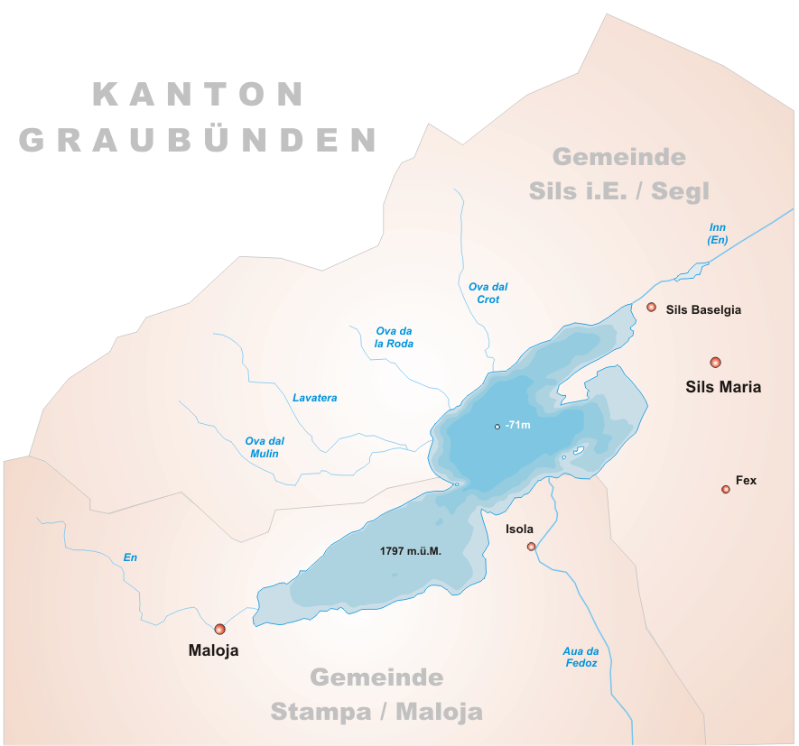
Daten Lage: Oberengadin Fläche: 4,1 km² maximale Tiefe: 71 m Zuflüsse: Inn, Aua da Fedoz Abfluss: Inn, bis zum Silvaplaner See
genannt SelaHöhe über Meer: 1796,61 m Volumen: 137 Mio. m³ Grössere Orte am Ufer: Maloja, Sils Maria Karte 
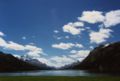
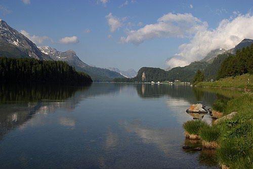
Der Silsersee oder Lej da Segl (rät.) – benannt nach der Ortschaft Sils im Engadin/Segl – ist der südwestlichste der drei Seen der Engadiner Seenplatte.
Inhaltsverzeichnis
Freizeit und Verkehr
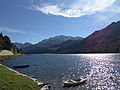
Besonders beliebt ist er bei Windsurfern, da vom Malojapass her ein zuverlässiger Wind weht.
Der See ist der höchstgelegene in Europa, auf dem kommerzieller Schiffsbetrieb stattfindet.[1]
Friedrich Nietzsche
Der deutsche Philosoph Friedrich Nietzsche kam im Juli 1881 erstmals an den See und verbrachte bis 1888 insgesamt sieben Sommer in Sils Maria, wo er im Haus der Familie Durisch ein Zimmer im ersten Stock als Mieter bewohnte und zahlreiche seiner Werke ausarbeitete, unter anderem den zweiten Teil von Also sprach Zarathustra. Er hatte hier in einer nach eigenen Worten „blutsverwandten“ Landschaft einen Ort gefunden, der ihm Möglichkeit zu Konzentration und Ruhe in bestem Klima bot. In seinem damaligen Wohnhaus, dem Nietzsche-Haus, ist heute ein Museum untergebracht, in dem unter anderem Originalschriften, Briefe und Erstausgaben besichtigt werden können.
Weblinks
Einzelnachweise
Bilder

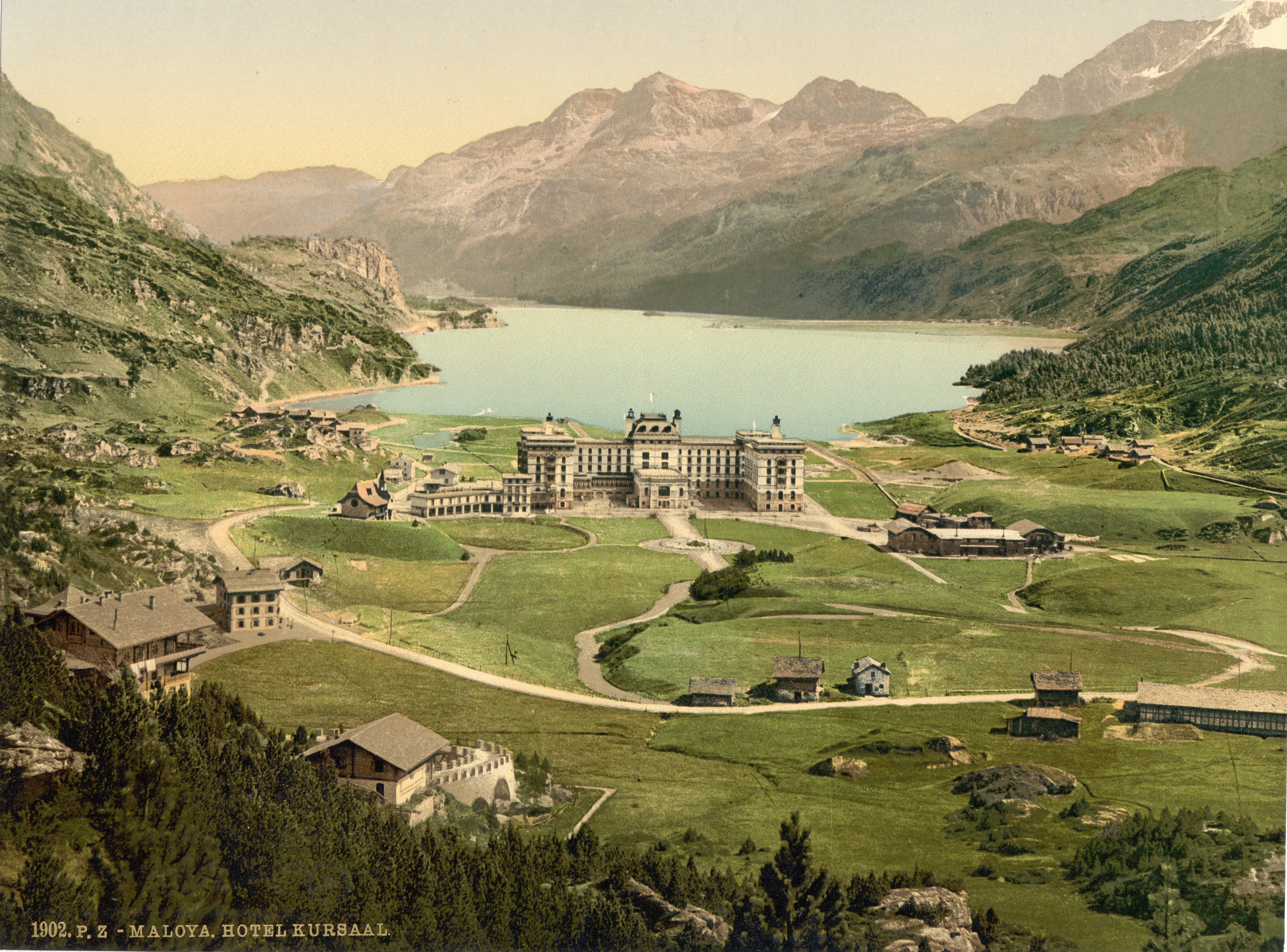
Maloja und der Silsersee um 1900
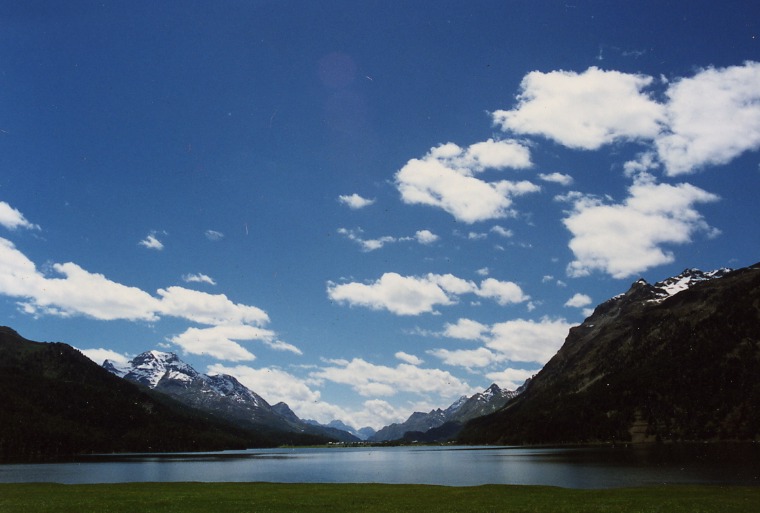
Blick Richtung Maloja
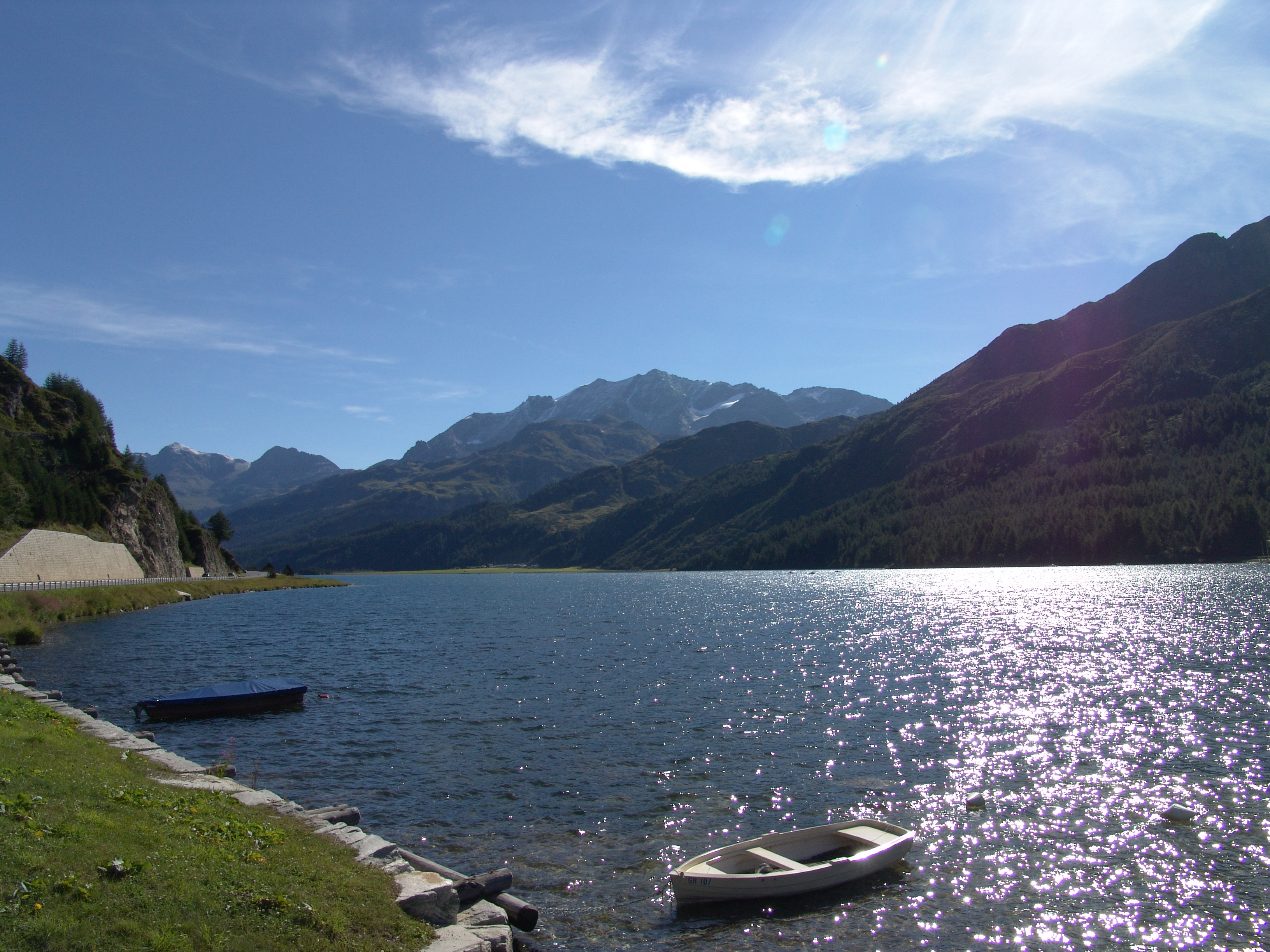
Blick von Maloja

Schweizer Seen mit einer Fläche von über 1 km² (ohne Speicherseen):
Ägerisee | Baldeggersee | Bielersee | Bodensee | Brienzersee | Genfersee | Greifensee | Hallwilersee | Langensee | Lauerzersee | Luganersee | Murtensee | Neuenburgersee | Oeschinensee | Pfäffikersee | Sarnersee | Sempachersee | Silsersee | Silvaplanersee | Thunersee | Vierwaldstättersee | Walensee | Zugersee | Zürichsee46.4166666666679.7308333333333Koordinaten: 46° 25′ 0″ N, 9° 43′ 51″ O; CH1903: (776207 / 143164)
Wikimedia Foundation.