- Naval Air Station Whidbey Island
-
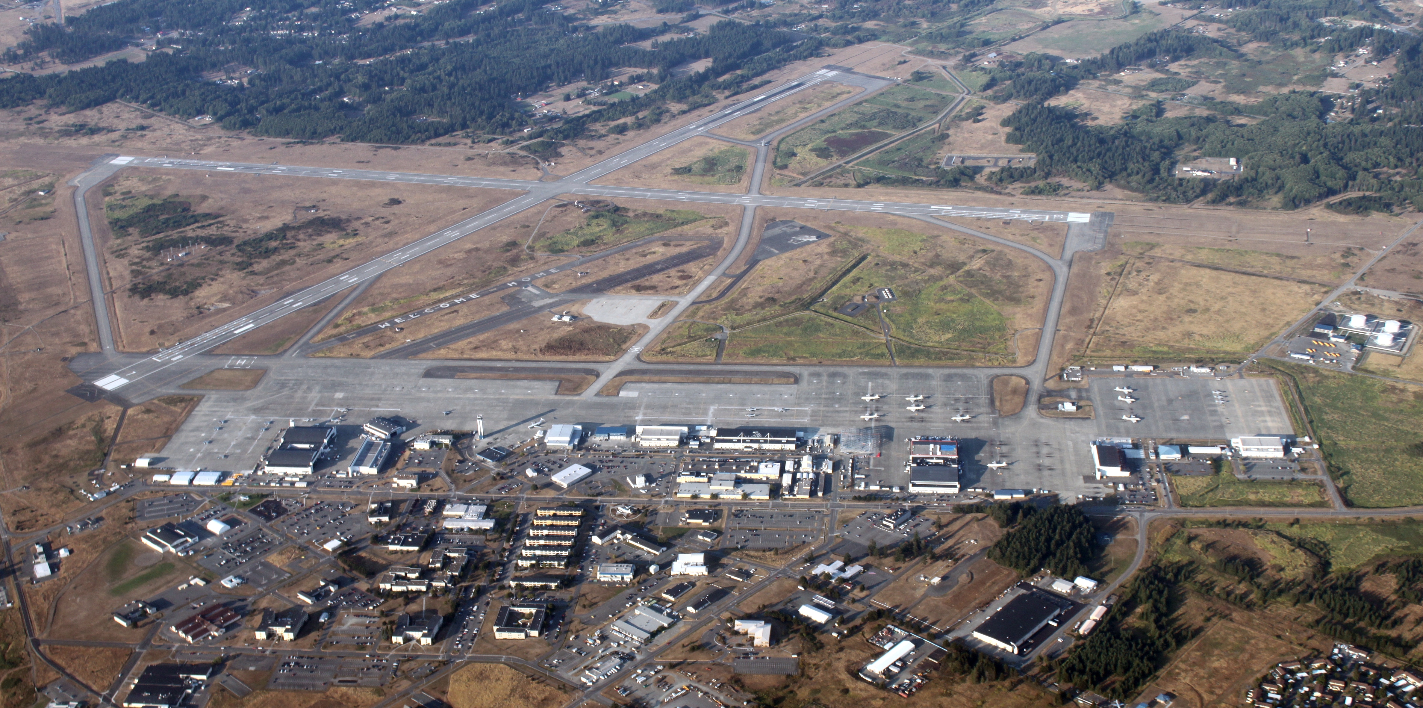
Naval Air Station Whidbey Island 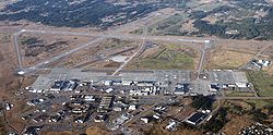
Kenndaten IATA-Code NUW ICAO-Code KNUW Koordinaten 48° 21′ 6″ N, 122° 39′ 21″ W48.351802777778-122.6559055555614Koordinaten: 48° 21′ 6″ N, 122° 39′ 21″ W 14 m ü. MSLVerkehrsanbindung Entfernung vom Stadtzentrum 2 km nördlich von Oak Harbor (Washington) Straße WA 20 Basisdaten Eröffnung 21. September 1942 Betreiber United States Navy Start- und Landebahnen 7/25 2438 m × 61 m Beton 13/31 2438 m × 61 m Beton Die Naval Air Station Whidbey Island (abgekürzt NASWI, IATA: NUW, ICAO: KNUW) ist ein Luftstützpunkt der United States Navy auf Whidbey Island im US-Bundesstaat Washington.
Die Basis ist in zwei Teile aufgeteilt: Der Ault Field genannte Teil ist an der Nordwestküste der Insel nördlich von Oak Harbor gelegen und nach Commander William B. Ault benannt. Der andere wird Seaplane Base genannt und liegt an der Ostküste der Insel direkt östlich von Oak Harbor. Des Weiteren gibt es ein zusätzliches Flugfeld namens Naval Outlying Landing Field (NOLF) Coupeville in der Inselmitte, welches allerdings kaum benutzt und nur bei Bedarf von Personal des Ault Field bemannt wird.
Die Basis wurde am 21. September 1942 in Betrieb genommen und stand damit direkt zum Eintritt der USA in den Zweiten Weltkriegs zur Verfügung.
Weblinks
- Flughafendaten von World Aero Data (englisch)
 Commons: Naval Air Station Whidbey Island – Sammlung von Bildern, Videos und AudiodateienKategorien:
- Militärische Einrichtung (United States Navy)
- Militärflugplatz (Vereinigte Staaten)
- Militärische Einrichtung in Washington
- Puget Sound
Wikimedia Foundation.