Ashford (South Australia)
- Ashford (South Australia)
-
Ashford ist ein Stadtteil von Adelaide im australischen Bundesstaat South Australia.
Ashford liegt etwa drei Kilometer südöstlich von Adelaides Stadtmitte und gehört verwaltungsmäßig zur City of West Torrens. Der relativ kleine, dreieckig geformte Stadtteil wird von zwei der Hauptverkehrsadern Adelaides, der South Road und dem ANZAC-Highway, an zwei Seiten begrenzt.
An den Nahverkehr der Adelaide Metro ist Ashford über die ANZAC-Highway-Go-Zone mit Busverbindungen im 15-Minuten-Takt sowie mit Buslinien entlang der Everard-Avenue und der South Road angebunden.
Sehenswürdigkeiten befinden sich in dem zum größten Teil nur aus Wohnhäusern und Gewerbeflächen bestehenden Stadtteil nicht, allerdings ist das sich dort befindende Ashford Hospital von Bedeutung.
Einzelnachweise
- ↑ Australian Bureau of Statistics (25. Oktober 2007): Ashford (State Suburb) (Englisch). 2006 Census QuickStats. Abgerufen am 13. Februar 2011.
Wikimedia Foundation.
Schlagen Sie auch in anderen Wörterbüchern nach:
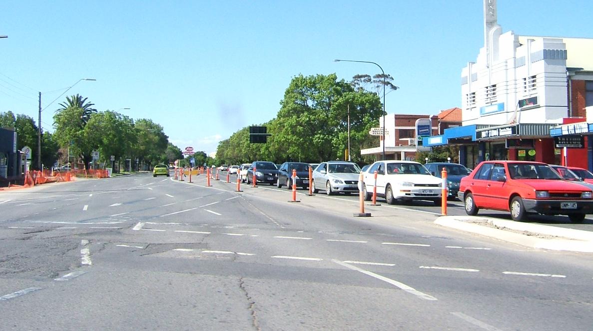
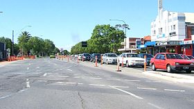
Ashford, South Australia — Infobox Australian Place| type = suburb name = Ashford caption = Anzac Highway, looking towards the city state = sa city=Adelaide lga = City of West Torrens postcode = 5035 stategov = Ashford fedgov = Adelaide near n= Keswick near ne= Keswick… … Wikipedia
Marleston, South Australia — Marleston Adelaide, South Australia Looking north along South Road, Marleston is to the west. Postcode … Wikipedia
Glandore, South Australia — Infobox Australian Place | type = suburb name = Glandore city = Adelaide state = sa caption = est = lga = City of Marion lga2 = City of West Torrens postcode = 5037 pop = 2,827 [Census 2006 AUS | id = SSC41596 | name = Glandore (State… … Wikipedia
Plympton, South Australia — Infobox Australian Place| type = suburb name = Plympton state = sa city=Adelaide lga = City of West Torrens postcode = 5038 stategov = Ashford fedgov = Hindmarsh near n= North Plympton near ne= Kurralta Park near e= Kurralta Park, Glandore near s … Wikipedia
Netley, South Australia — Netley Adelaide, South Australia Population: 1,630 (2006)[1] Postcode: 5037 … Wikipedia
Cowandilla, South Australia — Street in Cowandilla Cowandilla is a suburb of Adelaide, South Australia, in the City of West Torrens. It is located a few kilometres west of the CBD, and is adjacent to the Adelaide airport. References Coordinates … Wikipedia
Ashford — is a relatively common English placename: it goes back to Old English æscet , indicating a ford near a clump of ash trees.Ashford is the name of the following places:In Australia: * Ashford, New South Wales * Ashford, South Australia * Electoral… … Wikipedia
Ashford — heißen die Orte in Australien: Ashford (New South Wales) Ashford (South Australia) in England: Ashford (Devon) Ashford (Hampshire) Ashford (Kent) (Ashford (Borough), Verwaltungsbezirk mit dem Status eines Borough in der Grafschaft Kent in… … Deutsch Wikipedia
Mile End South, South Australia — Mile End South Adelaide, South Australia Street in Mile End South Postcode … Wikipedia
North Plympton, South Australia — North Plympton Adelaide, South Australia Postcode: 5037 … Wikipedia
 Australien
 South Australia