Štadión Pasienky — Das Štadión Pasienky in Bratislava Daten Ort Slowakei … Deutsch Wikipedia
Štadión Pasienky — Stadion Pasienky is a multi use stadium in Bratislava, Slovakia. It is currently used mostly for football matches and is the home ground of FK Inter Bratislava. The stadium holds 13,295 people … Wikipedia
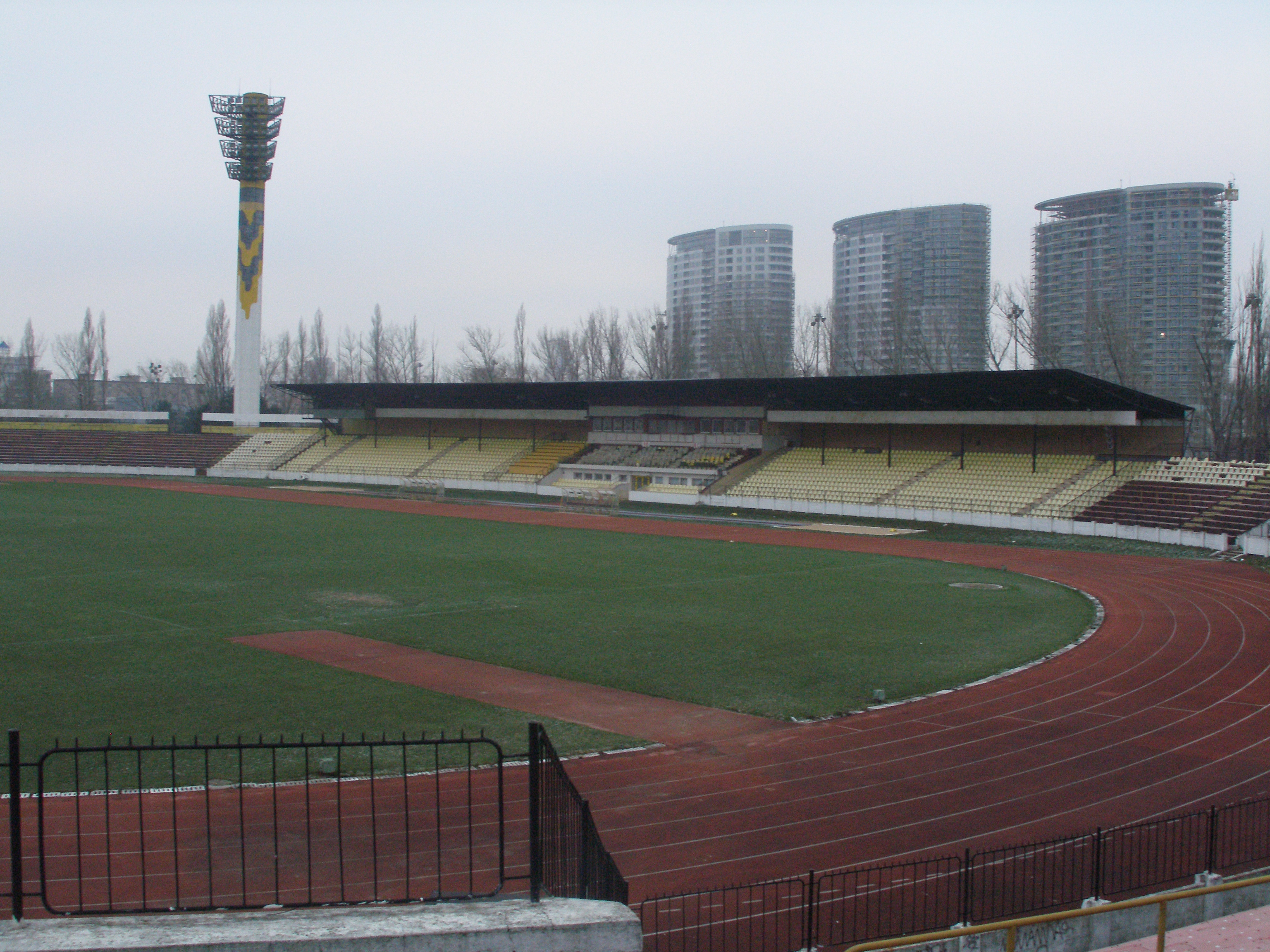
Na Pasienkoch — Pasienky Daten Ort Slovakia … Deutsch Wikipedia
ŠK Slovan Bratislava — This article is about the Slovan football club. For the ice hockey club, see HC Slovan Bratislava. Slovan Bratislava Full name ŠK Slovan Bratislava Bratislava futbal, a.s. Nickname(s) Belasí (S … Wikipedia
Sport in Bratislava — Various sports and sports teams have a long tradition in Bratislava, with many sport teams and individuals competing in the best Slovak and international leagues and competitions.Many significant sports events, such as World and European… … Wikipedia
Clasificación para la Eurocopa 2012 — Este artículo o sección se refiere o está relacionado con un evento deportivo de fútbol actualmente en curso. La información de este artículo puede cambiar frecuentemente. Por favor, no agregues datos especulativos y recuerda colocar referencias… … Wikipedia Español
Nové Mesto, Bratislava — Coordinates: 48°10′20″N 17°07′43″E / 48.17222°N 17.12861°E / 48.17222; 17.12861 … Wikipedia
Bratislava — Wappen Karte … Deutsch Wikipedia
Slowakischer Fußballpokal — Logo des slowakischen Fußballverbandes Slovenský futbalový zväz (SFZ) … Deutsch Wikipedia
Blava — Bratislava Wappen Karte … Deutsch Wikipedia

 Bratislava, Slowakei