Redpath Peaks

Redpath Peaks
-80.466666666667-81.3
Redpath Peaks (Antarktis)
Redpath Peaks
Redpath Peaks
Antarktis
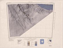
Karte der Region

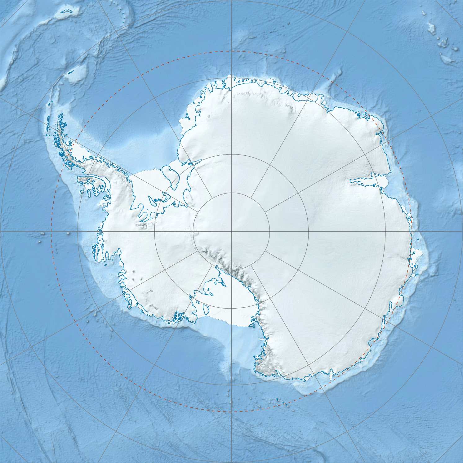
Die Redpath Peaks sind eine Gruppe niedriger, schneebedeckter Erhebungen, die wenige Kilometer südöstlich der Independence Hills in der Westantarktis liegen. Die Redpath Peaks gehören zur südlichsten Ausdehnung der Heritage-Range-Bergregion des Ellsworthgebirges.[1] Außerdem sind sie der südlichste Teil der Westwand des Horseshoe Valley.

Die Erhebungen wurden 1966 vom Advisory Committee on Antarctic Names nach Bruce B. Redpath benannt, einem Geophysiker des United States Antarctic Program und Teilnehmer der Südpol-Königin-Maud-Land-Überquerung im Sommer 1964–65.[1]

Einzelnachweise

  1. a b Redpath Peaks (Englisch). Geographic Names Information System. United States Geological Survey. Abgerufen am 16. Juli 2010.

Wikimedia Foundation.

Игры ⚽ Нужно сделать НИР?

Schlagen Sie auch in anderen Wörterbüchern nach:

  • Sails — DMS …   Deutsch Wikipedia

  • Mount Shattuck — Location of Heritage Range in Western Antarctica. Mount Shattuck (80°26′S 81 …   Wikipedia

  • Independence Hills — 80.416666666667 81.55 Koordinaten: 80° 25′ S, 81° 33′ W …   Deutsch Wikipedia

  • Three Sails — 80.45 80.7 Koordinaten: 80° 27′ S, 80° 42′ W …   Deutsch Wikipedia

  • Americas — Area 42,549,000 km2 …   Wikipedia

  • Mount Royal — This article is about the mountain in Montreal. For the town on its northwest side, see Mount Royal, Quebec. For other uses, see Mount Royal (disambiguation). Mount Royal Mount Royal s eastern slope …   Wikipedia

  • Toronto — This article is about the city in Canada. For other uses, see Toronto (disambiguation). City of Toronto redirects here. For the municipal government, see municipal government of Toronto. For the historical part of the city, see Old Toronto.… …   Wikipedia

  • Island of Montreal — Montreal Island redirects here. For the island in Nunavut, see Montreal Island (Nunavut). Island of Montreal Native name: Île de Montréal Map of the Island of Montreal …   Wikipedia

  • Quebec — This article is about the Canadian province. For the province s capital city, see Quebec City. For other uses, see Quebec (disambiguation). Coordinates …   Wikipedia

  • Taiga Cordillera — The Taiga Cordillera is a rugged, mountainous terrestrial ecozone of Canada spanning most of northern Yukon and significant portions of the border between the Yukon and the Northwest Territories.It is the most sparsely populated region of Canada …   Wikipedia

Share the article and excerpts

Direct link
Do a right-click on the link above
and select “Copy Link”