- Santa Ynez Mountains
-
Santa Ynez Mountains 
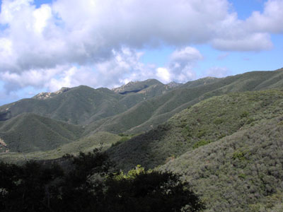
Chaparral in den Santa Ynez Mountains
Höchster Gipfel Santa Ynez Mountains High Point (1.483 m) Lage Kalifornien (USA) Teil der Transverse Ranges 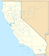

Koordinaten 34° 30′ N, 119° 44′ W34.5009-119.729688888891483Koordinaten: 34° 30′ N, 119° 44′ W Die Santa Ynez Mountains sind ein Gebirge in der Transverse Ranges in Südkalifornien. Das Gebirge liegt hauptsächlich im Santa Barbara County, nur ein kleiner Teil gehört zum Ventura County. Die Santa Ynez Mountains verlaufen völlig von Ost nach West, was in den USA selten ist. Im Norden des Gebirges liegt der Canyon des Ventura River und des Matilija Creek. Im Gebirge entspringt auch der Santa Ynez River. Entstanden ist das Gebirge im Miozän vor 5 Millionen Jahren. Höchster Punkt ist der Santa Ynez Mountains High Point mit einer Höhe von 1483 m, gefolgt vom Divide Peak mit 1435 m und Santa Ynez Peak mit 1310 m. Die überwiegende Vegetation in dieser Region ist Chaparral.
Kategorien:- Gebirge in Kalifornien
- Gebirge in Nordamerika
- Santa Barbara County

Wikimedia Foundation.