- Soutpansberg
-
Soutpansberg 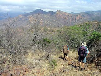
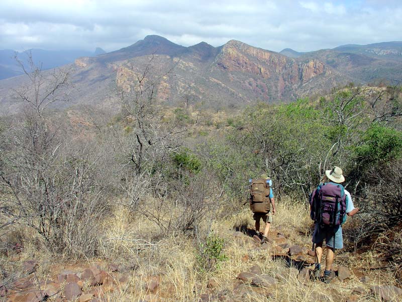
Wanderer im Soutpansberg
Höchster Gipfel Letjuma (1.748 m) Lage Limpopo-Provinz, Südafrika 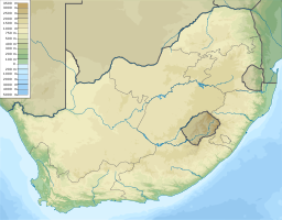

Koordinaten 23° 0′ S, 29° 52′ O-2329.8666666666671748Koordinaten: 23° 0′ S, 29° 52′ O Soutpansberg (afrikaans für ‚Salzpfannenberg‘) ist ein Gebirge in der Limpopo-Provinz im nordöstlichen Südafrika und der nördlichste Gebirgszug Südafrikas.
Der Soutpansberg erstreckt sich über ca. 250 Kilometer in West-Ost-Richtung südlich der Grenze zu Simbabwe, die Ausdehnung in Nord-Süd-Richtung beträgt zwischen 15 und 60 Kilometer. In der westlichen Hälfte werden mit den Bergen Hanglip (1.719 m) und Letjuma (1.748 m) seine größten Höhen erreicht. In diesem Teil befindet sich auch das Naturschutzgebiet Western Soutpansberg Conservancy mit einer Fläche von 90.000 ha. Im Westen schließt sich das Gebirge des Blouberg an.
Das Gebirge ist nach der Salzpfanne an ihrem westlichen Ende benannt. Die alte niederländische Schreibweise war Zoutspansberg.
Webseiten
 Commons: Soutpansberg – Sammlung von Bildern, Videos und Audiodateien
- The Soutpansberg (Englisch)
- Soutpansberg (Englisch)
Kategorie:- Gebirge in Südafrika

Wikimedia Foundation.