Tusayan, Arizona — Infobox Settlement official name = Tusayan, Arizona settlement type = CDP imagesize = image caption = image imagesize = image caption = image mapsize = 250px map caption = Location in Coconino County and the state of Arizona mapsize1 = map… … Wikipedia
Tusayan — Lugar designado por el censo de los Estados Unidos … Wikipedia Español
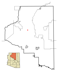
Tusayan — Lage im County und in Arizona Basisdaten … Deutsch Wikipedia
Tusayan — Tusayan, AZ U.S. Census Designated Place in Arizona Population (2000): 562 Housing Units (2000): 313 Land area (2000): 28.566507 sq. miles (73.986911 sq. km) Water area (2000): 0.012869 sq. miles (0.033331 sq. km) Total area (2000): 28.579376 sq … StarDict's U.S. Gazetteer Places
Tusayan, AZ — U.S. Census Designated Place in Arizona Population (2000): 562 Housing Units (2000): 313 Land area (2000): 28.566507 sq. miles (73.986911 sq. km) Water area (2000): 0.012869 sq. miles (0.033331 sq. km) Total area (2000): 28.579376 sq. miles… … StarDict's U.S. Gazetteer Places
Tusayan National Forest — was established by the U.S. Forest Service in Arizona on July 1, 1910 with 1,830,487 acres from part of Coconino National Forest and other lands. On October 22, 1934 the entire forest was transferred to Prescott National Forest and the name was… … Wikipedia
Arizona State Highway 64 — Karte … Deutsch Wikipedia
Tusayan ruines — The Tusayan Ruines is a place near the Grand Canyon in Arizona where Chief Payan and his family lived. The ruines are on highway 64 in Arizona s Grand Canyon National Park … Wikipedia
Arizona State Route 64 — Infobox road marker state=AZ highway name= name notes= type=state route=64 alternate name= maint= length mi=108.31 length round=2 length ref=cite web |url=http://tpd.az.gov/data/reports/2005SHSLog.pdf |title=ADOT Highway Log |accessmonthday=July… … Wikipedia
Arizona State Route 64 — Karte … Deutsch Wikipedia
 Lage im County und in Arizona