- Waipapa Point
-
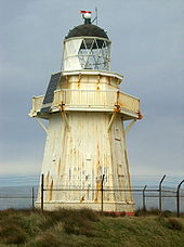 Leuchtturm auf Waipapa Point
Waipapa Point ist ein Felsenkap an der Südküste der Südinsel Neuseelands. Es befindet sich 10 km südöstlich der Mündung des Mataura River am äußersten südwestlichen Ende der Catlins.
Am 28./29. April 1881 kam es mit dem Untergang der Tararua (Schiff) auf dem vom Kap etwa 13 km ins Meer reichenden Otara Reef zum schwersten zivilen Schiffsunglück Neuseelands. Als Folge des Unglücks wurde 1884 ein Leuchtturm auf Waipapa Point in Betrieb genommen. Er ist zusammen mit dem Kaipara North Head-Leuchtturm einer der letzten hölzernen Leuchttürme, die in Neuseeland gebaut wurden. Er wurde 1976 automatisiert und ist noch heute in Betrieb.
Die Waipapa Lighthouse Road führt von der etwa 5 km nordöstlich gelegenen Ansiedlung Otara zum Leuchtturm.
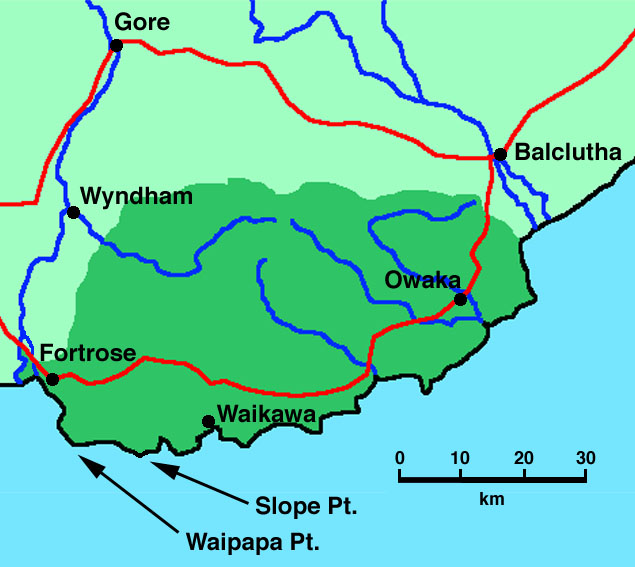
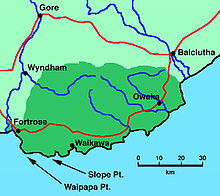 Lage von Waipapa Point in den Catlins.
Quellen
- New Zealand Travel Atlas, Wise Maps Auckland. ISBN 0-908794-47-9
Weblinks
- Informationsblatt zum Leuchtturm (PDF-Datei; 29 kB)
-46.659966666667168.84698888889Koordinaten: 46° 40′ S, 168° 51′ OKategorien:- Kap (Neuseeland)
- Southland

Wikimedia Foundation.