- Warringah Council
-
Warringah Council 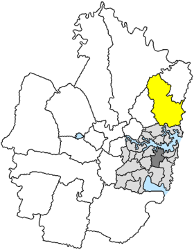
Lage des Warringah Council in SydneyGliederung Staat:  Australien
Bundesstaat:  New South Wales
Verwaltungssitz: Dee Why Daten und Zahlen Fläche: 150 km² Einwohner: 133.837 (2006) [1] Bevölkerungsdichte: 892 Einwohner je km² -33.75151.28333333333Koordinaten: 33° 45′ S, 151° 17′ OWarringah Council ist ein lokales Verwaltungsgebiet (LGA) im australischen Bundesstaat New South Wales. Warringah gehört zur Metropole Sydney, der Hauptstadt von New South Wales. Das Gebiet ist 150 km² groß und hat etwa 139.000 Einwohner.
Warringah liegt im Nordosten von Sydney an der Pazifikküste und ist etwa 10 bis 25 km vom Stadtzentrum entfernt. Das Gebiet beinhaltet 53 Stadtteile:
- Akuna Bay
- Allambie
- Allambie Heights
- Beacon Hill
- Belrose
- Belrose West
- Brookvale
- Coal And Candle Creek
- Collaroy
- Collaroy Beach
- Collaroy Plateau
- Collaroy Plateau West
- Cottage Point
- Cromer
- Cromer Heights
- Curl Curl
- Curl Curl North
- Curl Curl South
- Davidson
- Dee Why
- Dee Why Beach
- Dee Why North
- Dee Why West
- Duffy Forest
- Forestville
- Frenchs Forest
- North Seaforth
- Frenchs Forst East
- Freshwater
- Harbord
- Harbord West
- Jamieson Square
- Killarney Heights
- Long Reef
- Manly Vale
- North Manly
- Narraweena
- Oxford Falls
- Queenscliff
- Sorlie Village
- Terrey Hills
- Warringah Mall
- Wheeler Heights
- Wingala
- Winji Jimmi und Teile von Balgowlah
- North Balgowlah
- Bantry Bay
- Ingleside
- Ingleside Heights
- Narrabeen
- Narrabeen Peninsula
- North Narrabeen
Der Verwaltungssitz des Councils befindet sich im Stadtteil Dee Why im Osten der LGA.Verwaltung
Der Warringah Council hatte ursprünglich neun Mitglieder, die von den Bewohnern der LGA gewählt werden. Warringah ist nicht in Bezirke untergliedert. Aus dem Kreis der Councillor rekrutierte sich auch der Mayor (Bürgermeister) des Councils.
Wegen Vorwürfen bezüglich Korruption und Mismanagement wurde der Council im Juli 2003 von der Staatsregierung abgesetzt und ein Administrator sowie eine vierköpfige Exekutive zur Leitung der Geschäfte berufen.
Weblinks
Einzelnachweise
- ↑ Australian Bureau of Statistics (25. Oktober 2007): Warringah (A) (Local Government Area) (Englisch). 2006 Census QuickStats. Abgerufen am 6. April 2010.
Kategorien:- Local Government Area in New South Wales
- Local Government Area in Sydney

Wikimedia Foundation.