- Borodino Island
-
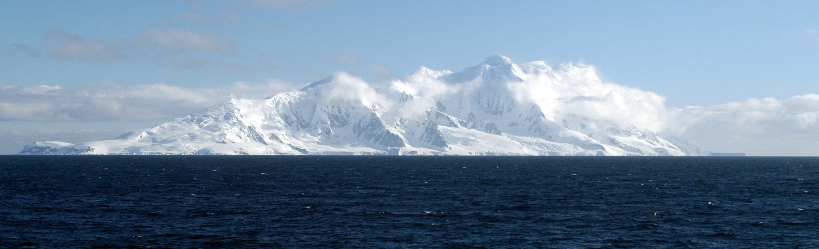
Smith Island Smith Island von Südosten aus gesehen.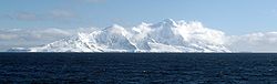
Gewässer Südlicher Ozean Inselgruppe Südliche Shetlandinseln Geographische Lage 62° 59′ S, 62° 30′ W-62.983333333333-62.52105Koordinaten: 62° 59′ S, 62° 30′ W 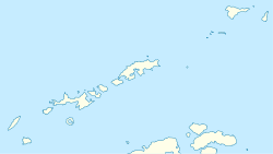

Länge 32 km Breite 8 km Höchste Erhebung Mount Foster
2.105 mEinwohner (unbewohnt) Smith Island (gelegentlich auch Borodino Island genannt) ist eine unbewohnte, subantarktische Insel im Archipel der Südlichen Shetlandinseln. Sie liegt im Südwesten der Inselgruppe, etwa 72 km westlich von Deception Island und stellt die westlichste Insel der Südlichen Shetlandinseln dar. Von der Antarktischen Halbinsel ist Smith Island etwa 130 km entfernt.
Die Insel wurde 1819 vom englischen Seefahrer William Smith entdeckt und nach ihm benannt. In der Folgezeit wurde die Insel hauptsächlich von Robbenjägern aufgesucht. Da die Insel keine Forschungsstation beherbergt wird sie heutzutage jedoch vergleichsweise selten aufgesucht.
Geographie
Die langgestreckte Insel ist etwa 32 km lang, 8 km breit und von gebirgiger Topographie. Die Insel erreicht im Mount Foster eine Höhe von 2105 m über dem Meer, welcher auch die höchste Erhebung des gesamten Archipels darstellt. Die erste topographische Kartografierung der Insel wurde durch die bulgarische Kommission für Antarktische Geographische Namen durchgeführt und die Ergebnisse 2008 veröffentlicht.
Weblinks
Inseln der Südlichen ShetlandinselnNordgruppe: Clarence | Cornwallis | Elephant | Gibbs | Rowett
Südgruppe: Bridgeman | Deception | Greenwich | Half Moon | King George | Livingston | Low | Nelson | Penguin | Robert | Rugged | Smith | Snow

Wikimedia Foundation.