Bronx River

Bronx River
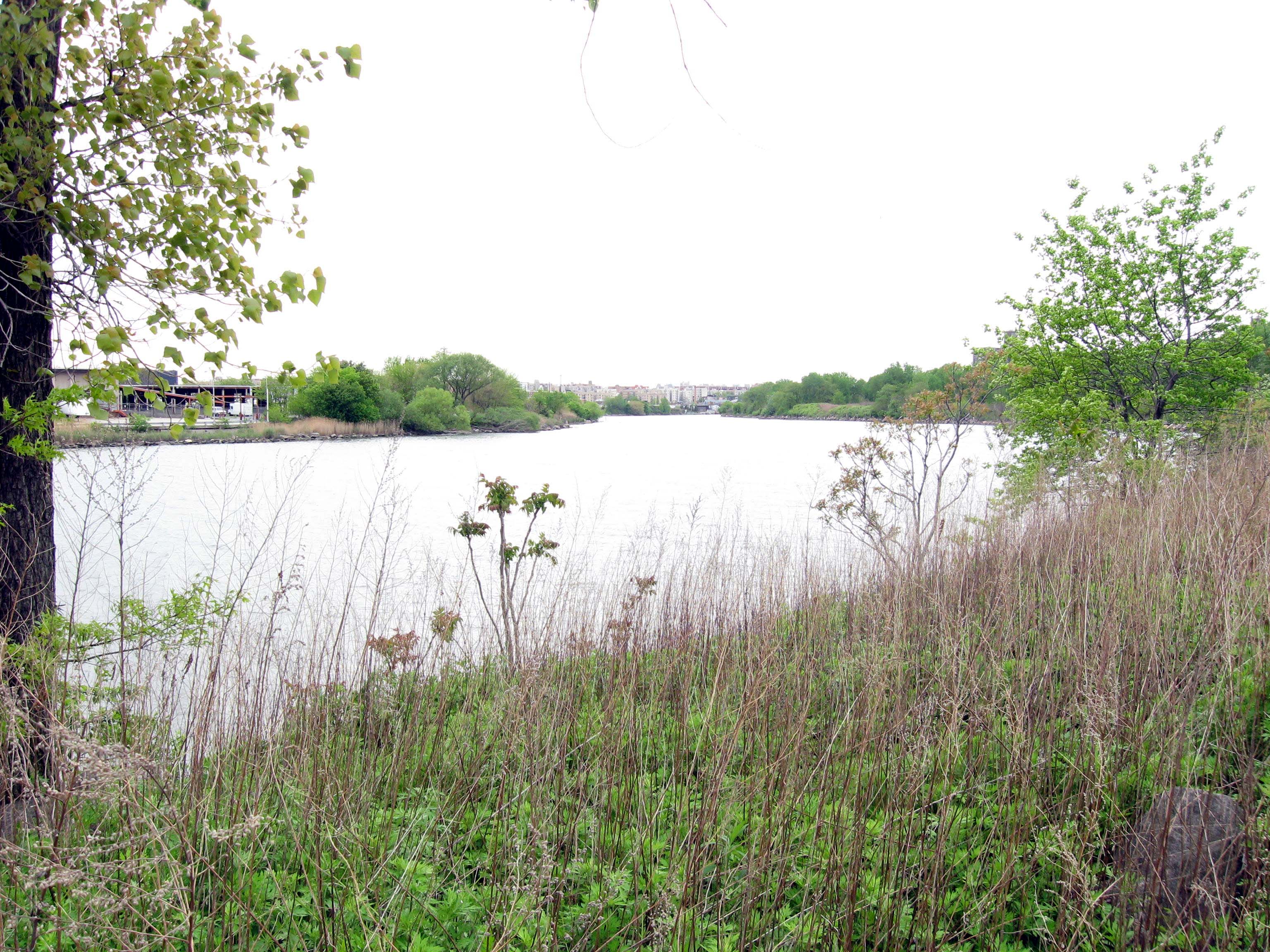
Der Bronx River etwas oberhalb seiner Mündung in den East River.

Der Bronx River ist ein etwa 38 km langer Fluss im US-Bundesstaat New York. Sein Ursprung liegt am Kensico-Reservoir im Westchester County. Von dort aus fließt er Richtung Süden bis hinter White Plains, dann in südsüdwestlicher Richtung weiter durch die Ortschaften Edgemont, Tuckahoe, Eastchester und Bronxville. Dahinter bildet er die Grenze zwischen Yonkers und Mount Vernon und erreicht schließlich die Bronx. Dort durchquert er neben Wohn- und Industriegebieten auch den Bronx Park und mündet schließlich zwischen den Neighbourhoods Soundview und Hunts Point in den East River. Der Bronx River Parkway verläuft fast auf seiner gesamten Länge am Ufer entlang.

Besonders im 19. und 20. Jahrhundert diente der Bronx River anliegenden Gemeinden und Industriebetrieben als Abwasserkanal. In den letzten Jahren haben sich die Anlieger aber dazu verpflichtet, die Einleitung von Fäkalien zu beenden. Daneben sind verschiedene Maßnahmen zur Gewässersanierung angelaufen; unter anderem wurde Alewife (Alosa pseudoharengus) eine Heringsartige angesiedelt.


Wikimedia Foundation.

Игры ⚽ Поможем сделать НИР

Schlagen Sie auch in anderen Wörterbüchern nach:

  • Bronx River — The Bronx River, approximately 24 miles (38 km) long, flows through southeast New York in the United States. Its Native American name was the Aquahung before the arrival of European colonists, like Jonas Bronck, for whom the Bronx and its river… …   Wikipedia

  • Bronx River — Rivage boisée de la Bronx River La Bronx River est une rivière de New York, longue de 38 km et située dans le borough du Bronx. Les Amérindiens appelaient la rivière Aquahung avant l arrivée des colons européens, parmi lesquels Jonas Bronck qui… …   Wikipédia en Français

  • Bronx River Parkway — Route information Length: 19.12 mi[1] …   Wikipedia

  • Bronx River Houses — is a low income public housing project in the Soundview section of The Bronx, New York City, New York. It consists of nine, 14 story buildings with 1,245 apartments. Completed February 28, 1951, the 13.94 acre Bronx development is bordered by… …   Wikipedia

  • Bronx River Road — is a major street and neighborhood in Yonkers, New York. It runs alongside the Bronx River, Bronx River Parkway, and Metro North railroad tracks in south eastern Yonkers. On the other side of the Bronx River is the City of Mount Vernon, New York… …   Wikipedia

  • Bronx Park — Bronx Park, laid out on convert|718|acre|lk=on along the Bronx River in the Bronx, New York, is the home of the New York Botanical Garden and the Bronx Zoo. Bicycle paths go west, north and east, along Mosholu Parkway, Bronx River Parkway and… …   Wikipedia

  • Bronx Community Board 9 — is a local government unit of the city of New York, encompassing the neighborhoods of Castle Hill, Parkchester, Soundview, Bruckner, Harding Park, Bronx River, Clason Point and Unionport. [ [http://www.nyc.gov/html/cau/html/cb/cb bronx.shtml… …   Wikipedia

  • Bronx Community Board 11 — is a local government unit of the city of New York, encompassing the neighborhoods of Bronxdale, Laconia, Morris Park, Pelham Parkway, and Van Nest in the borough of the Bronx. It is delimited by the Bronx River Parkway and Bronx Park East to the …   Wikipedia

  • Bronx Community Board 2 — is a local government unit of the city of New York, encompassing the neighborhoods of Hunts Point and Longwood in the borough of the Bronx. It is delimited by the Bronx River on the east, Westchester Avenue, East 167th Street, and East 169th… …   Wikipedia

  • Bronx — 40° 50′ 14″ N 73° 53′ 10″ W / 40.8372, 73.8861 …   Wikipédia en Français

Share the article and excerpts

Direct link
Do a right-click on the link above
and select “Copy Link”