Coron Bay

Coron Bay
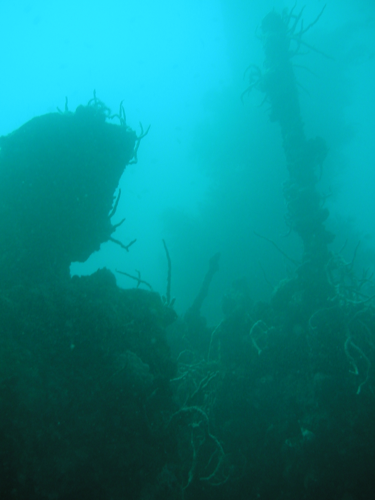
Wrack in der Coron Bay

Die Coron Bay ist ein bekanntes Tauchgebiet in der Sulusee im Westen der Philippinen.

Es liegt in der Calamian-Inselgruppe, zwischen den Inseln Coron und Busuanga.

Coron Bay ist bei Tauchern durch zehn japanische Schiffswracks berühmt. Die Schiffe Akitsushima, Okikawa Maru, Irako Maru, Kogyo Maru, Olympia Maru, Taiei Maru, Kyokuzan Maru, East Tangat Gunboat und Lusong Island Gunboat wurden am 24. September 1944 von der dritten Luftflotte der US Task Force 38 mit Basis auf Leyte versenkt. Mit einem Tauchboot sind die Wracks in einer gut einstündigen Fahrt von Coron aus erreichbar. Mit den Ausnahmen Lusong Island Gunboat, das teilweise die Wasseroberfläche durchbricht und daher für Schnorchler und East Tangat Gunboat, das in einer Tiefe von 5–20 m für Tauchanfänger geeignet ist, liegen alle anderen Wracks in Tiefen von 20–45 m. Die Wracks sind teilweise über 100 m lang und haben verschiedene Decks, Gänge, Kombüsen etc., die betaucht werden können. Auch wenn die Wracks zum Teil unter Wasser ausgeschlachtet (z. B. die Motorblöcke entfernt) wurden, befindet sich dort noch immer verschiedenes Gerät und einige Granaten. Wegen der Tiefe und der Größe der versenkten Schiffe wird in der Regel mit Nitrox wegen der längeren Nullzeit und kürzeren Dekompressionsstopps getaucht.[1]

Quellen

  1. HP. Landolt: Operations Against Coron Bay. 2. Auflage. HIWA Publications, Alicante 2002.

Weblinks

11.90275120.14566666667

Wikimedia Foundation.

Игры ⚽ Нужно решить контрольную?

Schlagen Sie auch in anderen Wörterbüchern nach:

  • Coron (Insel) — Coron Insel Coron Gewässer Sulusee Inselgruppe …   Deutsch Wikipedia

  • Coron — bezeichnet: Coron (Maine et Loire), eine Kommune im Département Maine et Loire in Frankreich Coron, der venetianische Name der Stadt Koroni in Griechenland Coron (Palawan), eine Stadtgemeinde auf der Insel Busuanga in der Provinz Palawan auf den… …   Deutsch Wikipedia

  • Coron Island — The rock formations on the islands around Coron Island Coron Island is the third largest island in the Calamian Group of Islands in northern Palawan in the Philippines. The island is part of the larger municipality of the same name. It is about… …   Wikipedia

  • List of shipwrecks — Contents 1 Africa 1.1 East Africa 1.2 North Africa 1.2.1 Algeria …   Wikipedia

  • Palawan — Infobox Philippine province name = Palawan sealfile = Ph seal palawan.png region = MIMAROPA (Region IV B) (in transitioncite web url=http://www.ops.gov.ph/records/eo no429.htm title=Executive Order No. 429 date=May 23, 2005 author=President of… …   Wikipedia

  • Busuanga — Hauptstadt Coron Town Gewässer Sulusee Inselgruppe …   Deutsch Wikipedia

  • Busuanga Island — is the largest island in the Calamian Group in the province of Palawan in the Philippines. Busuanga Island is, in fact, the second largest island in the province after Palawan island itself. The island is located halfway between the islands of… …   Wikipedia

  • Calamian-Inseln — Lage der Calamian Inselgruppe Die Inselgruppe Calamian besteht aus 128 Inseln und gehört zur Provinz Palawan im Westen der Philippinen. Im Nordosten grenzt sie an die Mindoro Straße mit den Nanga Inseln und dem Apo Riff, dahinter liegt die große… …   Deutsch Wikipedia

  • No.13 class submarine chaser — No.13 class No.14 in March 1941 Class overview Name: No.13 class submarine chasers • No.13 class • No.28 class • No.60 …   Wikipedia

  • Japanese minelayer Yaeyama — Yaeyama was a minelayer of the Imperial Japanese Navy that operated on the Yangtze river with the 11th Sentai during the Battle of Shanghai in 1937. It was the flagship of 11th Sentai during the operations on the Yangtze during the early Second… …   Wikipedia

Share the article and excerpts

Direct link
Do a right-click on the link above
and select “Copy Link”