- Enborne
-
Enborne 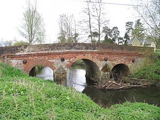
Fluss Enborne und die Shalford-Brücke, nahe Brimpton
Daten Lage England, Vereinigtes Königreich Quelle Inkpen und West Woodhay
51° 22′ 13″ N, 1° 27′ 32″ W51.3704-1.4588Mündung Kennet 51.3914-1.1528Koordinaten: 51° 23′ 29″ N, 1° 9′ 10″ W
51° 23′ 29″ N, 1° 9′ 10″ W51.3914-1.1528Der Fluss Enborne entspringt bei Inkpen und West Woodhay und fließt in großen Mäandern durch die englische Grafschaft Hampshire Richtung Newbury in Berkshire. Nahe Headley wird der Fluss von einem Nebenfluss gespeist, der aus dem Ecchinswell und dem Hügelland Watership Down kommt. Er mündet schließlich in den Kennet, welcher wiederum ein Nebenfluss der Themse ist.
Im Roman Unten am Fluss (Watership Down) queren die Kaninchen den Fluss auf einem Brett.[1]
-

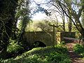
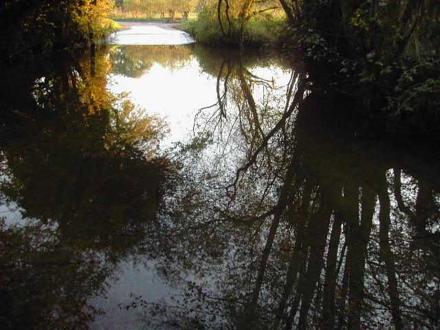
Der Fluss Enborne, von der Shalford Brücke aus gesehen
-

Fluss Enbourne
-

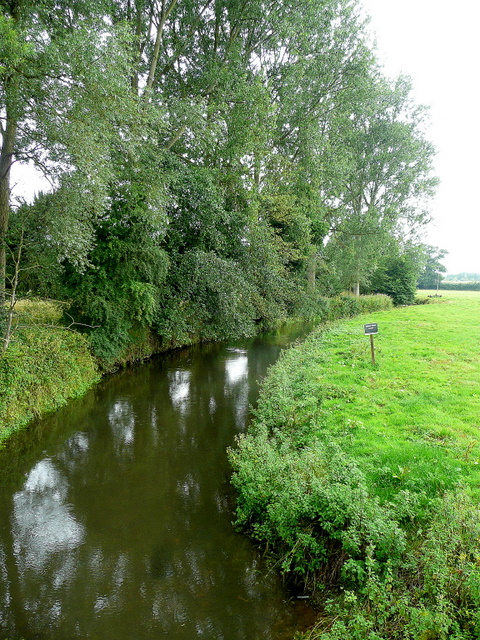
Der Fluss Enbourne at Headley Ford, in der Nähe von Crookham Common
-
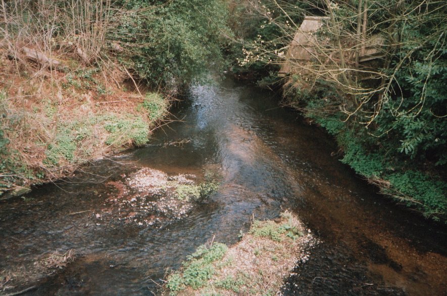
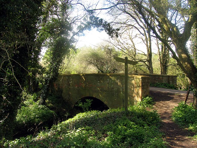
Die Oxford Brücke bei Inwood Copse
Einzelnachweis
- ↑ Richard Adams: Unten am Fluss. Watership Down. ISBN 978-3-548-60806-6
Weblinks
Kategorien:- Fluss in England
- Fluss in Europa
- Flusssystem Themse
-

Wikimedia Foundation.