Carrick Roads

Carrick Roads
50.153366-5.035515
Carrick Roads (England)
Carrick Roads
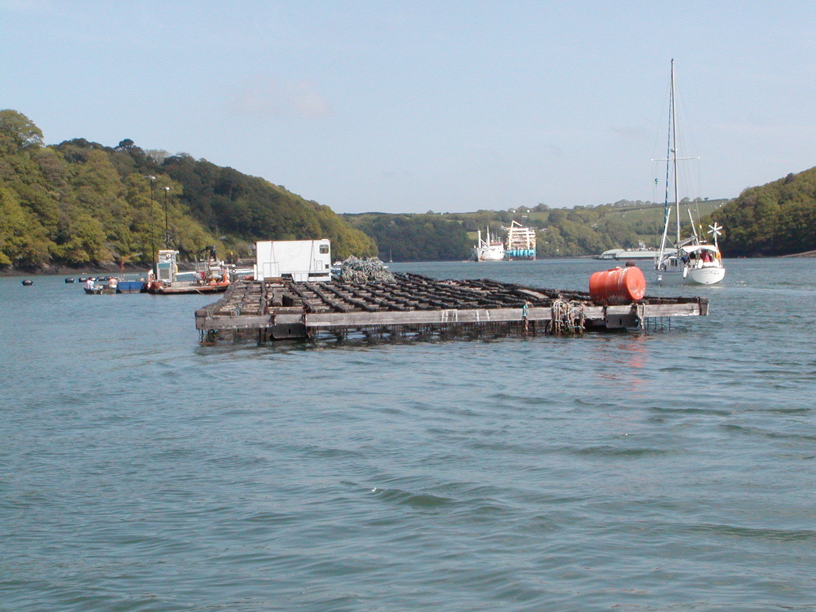
Carrick Roads

Die Carrick Roads ist eine langgestreckte Meeresbucht in Cornwall. Die Bucht erstreckt sich als Mündungstrichter des Flusses Fal zwischen Truro und Falmouth.

Die Carrick Roads entstanden nach der letzten Eiszeit, als ein tief eingeschnittenes Tal durch den ansteigenden Meeresspiegel überflutet wurde. Die Bucht bildet einen großen Naturhafen und ist zwischen Falmouth und Truro schiffbar. Der Hafen von Falmouth und die Carricks Roads sind der drittgrößte Naturhafen der Welt.

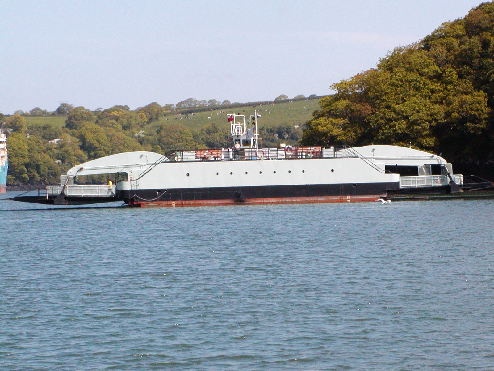
Die Wasserstraße wird von der historischen Rollfähre King Harry Ferry gekreuzt. Sie verbindet als Autofähre die Ortschaften Feock und Philleigh.
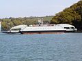

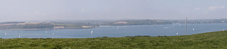
Blick auf die Carrick Roads von der Halbinsel Roseland

Weblinks


Wikimedia Foundation.

Игры ⚽ Нужно сделать НИР?

Schlagen Sie auch in anderen Wörterbüchern nach:

  • Carrick Roads — is located on the southern Cornish coast in the UK, near Falmouth. It is a large waterway created after the Ice age from an ancient valley which flooded as the melt waters caused the sea level to rise dramatically (see Ria), creating a large… …   Wikipedia

  • Carrick Roads — Sp Kãrik Ròudsas Ap Carrick Roads L įl. D. Britanijoje (Anglijoje) …   Pasaulio vietovardžiai. Internetinė duomenų bazė

  • Carrick bend — A fully interwoven diagonally opposed Carrick bend Names Carrick bend, Double Carrick Bend, Double Coin Knot, Ten Accord Knot, Bosun s Knot, Basketweave Kno …   Wikipedia

  • Carrick — District Lage in Cornwall Status District Region South West England Verw.grafschaft Cornwall …   Deutsch Wikipedia

  • Carrick — ▪ district, England, United Kingdom       district, administrative and historic county of Cornwall, England, encompassing a band 15 miles (24 km) wide, from the north to the south coast, across the centre of the Cornish peninsula. Dominated by… …   Universalium

  • Carrick, Cornwall — Infobox UK district name = Carrick District status = District region = South West England admincounty = Cornwall area = Ranked 108th 461.00 km² adminhq = Truro onscode = 15UC population = Ranked English district rank|ONS=15UC English district… …   Wikipedia

  • Carrick Pursuivant — of Arms in Ordinary is a current Scottish pursuivant of arms in ordinary. The title is derived from the Earl of Carrick, one of the titles borne by Robert the Bruce before his succession to the crown. Carrick is situated in the southwest of… …   Wikipedia

  • Carrick, Scotland — Map of Scotland showing the district of Carrick Carrick (Scottish Gaelic: A Charraig, pronounced [əˈxarˠɛkʲ]) is a former comital district of Scotland which today forms part of South Ayrshire. History The word C …   Wikipedia

  • Carrick Mountain — Infobox Mountain Name = Carrick Mountain Photo = CarrickMountainSWview.jpg Caption = Carrick from the SW Elevation = 381 m (1,250 ft) Location = Wicklow, IRL Range = Wicklow Mountains Prominence = Coordinates =… …   Wikipedia

  • Noeud de carrick — Nœud de carrick Pour les articles homonymes, voir Carrick. Nœud de Carrick Le nœud de Carrick est un nœud d ajut. Il est particulièrem …   Wikipédia en Français

Share the article and excerpts

Direct link
Do a right-click on the link above
and select “Copy Link”