- Kabanjahe
-
Kabanjahe Basisdaten Staat: Indonesien Provinz: Nord-Sumatra Koordinaten: 3° 8′ N, 98° 27′ O3.138611111111198.454722222222Koordinaten: 3° 8′ N, 98° 27′ O Einwohner: 46.562 (1990) 

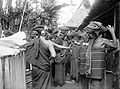
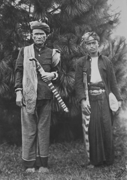
Kabanjahe Kebanjahe auf der Karte von Indonesien Kabanjahe-Mann mit einem jungen Prinzen
 Fischen am Laut Kawar
Kabanjahe (übersetzt: Ingwerstadt) ist eine Stadt im Bezirk Sumatera Utara der indonesischen Insel Sumatra und Regierungsbezirk der Karo-Batak. Die Stadt liegt nördlich des Tobasees, 12 km südlich von Berastagi sowie nordwestlich der kreisfreien Bezirksstadt Pematang Siantar und südwestlich der Landeshauptstadt Medan.
Inhaltsverzeichnis
Bevölkerung
Die Stadt und seine Umgebung sind das Siedlungsgebiet der Karo-Batak, einer von mehreren Batakvolksgruppen (wie den Angkola-, Mandailing-, Toba-, Pakpak- und Simalungun-Batak). Heute finden sich zudem Chinesen, Achinesen, ethnische Malaien, Minangkabau, sowie umgesiedelte Javaner. Die Bevölkerung ist überwiegend römisch-katholisch und in einer Minderheit muslimisch. Mit der letzten Volkszählung 1990 wurden über 46.000 Einwohner ermittelt. Eine Berechnung für das Jahr 2011 ergibt 60.733 Bürger der Stadt.[1]
Handelsstandort
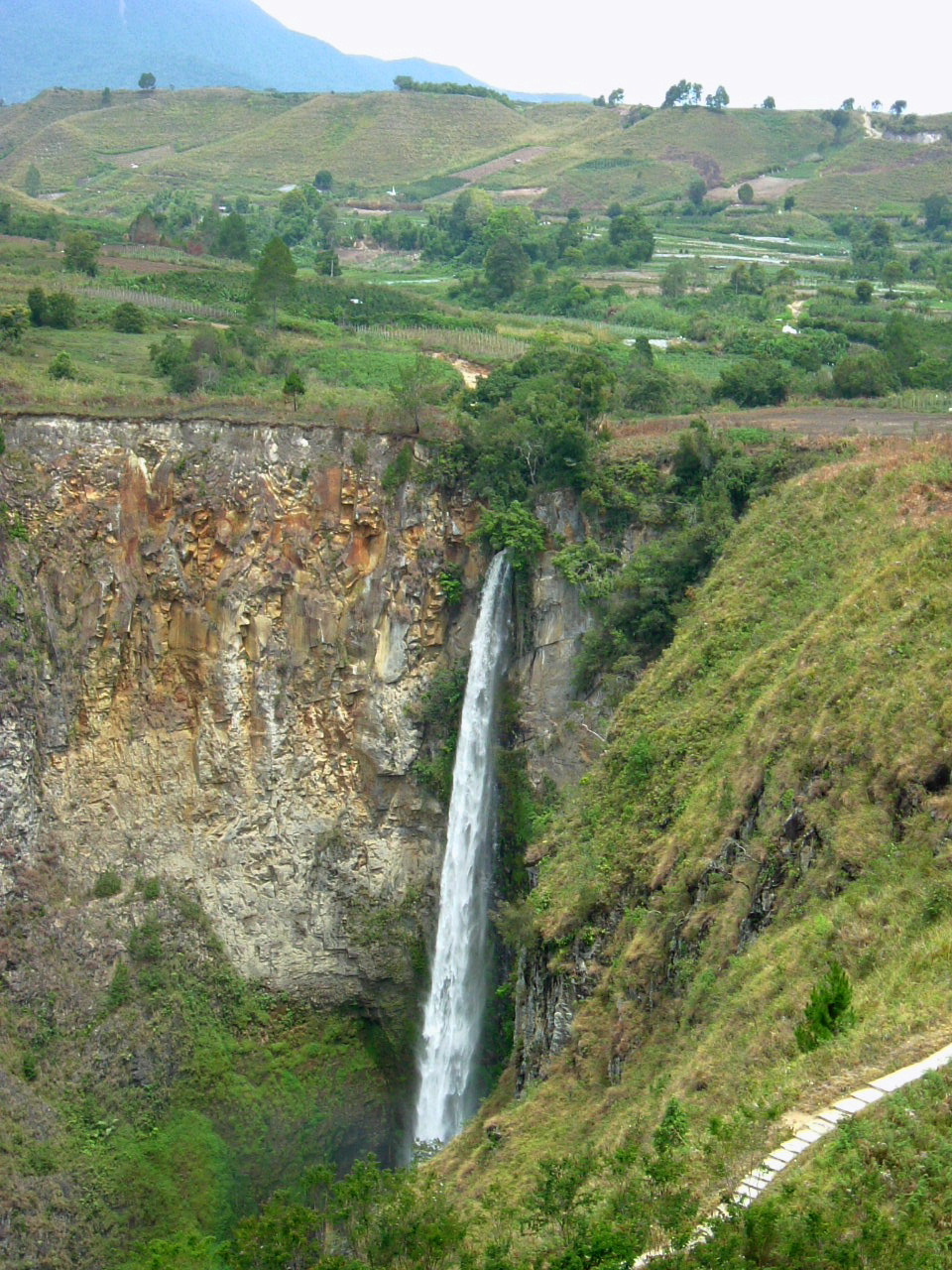
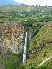 Der Sipisopiso-Wasserfall unweit von Kabanjahe
Kabanjahe liegt im Batakgebiet und ist daher von kulturellem Interesse. Auf dem örtlichen Markt werden die Güter der Batak abgesetzt, wie beispielsweise das Ulos. Bedeutsam ist der Montagsmarkt, der auch regem kommunikatorischem Austausch dient.
Tourismus
Kabanjahe wird oft als Ausgangspunkt für den Besuch der Karo-Batak gewählt, insbesondere in Barusjahe und Lingga. Barusjahe wird gerne mit Ultraleichtflugzeugen angeflogen. Allein in Lingga lassen sich ca. 30 traditionelle Batak-Häuser besichtigen, wovon ungefähr ein Duzent Langhäuser sind.[2]
Ungefähr 24 km von Kabanjahe entfernt liegt der Sipisopiso-Wasserfall, in einer schmalen Spur aus 120 m in den Tobasee stürzt. Auch lassen sich der 2'454 m hohe Gunung Sinabung, der erstmals wieder nach 400 Jahren, im August 2010 ausgebrochen ist, und der Kawar-See bequem von Kabanjahe aus erreichen. Ein weiterer Vulkan, der 2'095 m hohe Gunung Sibayak, liegt nordwestlich von Barastagi und weist schwefelhaltige Quellen auf. Der Schwefel wird von lokalen Einheimischen abgebaut, da er als Arzneimittel und als Pestizid verwendet wird.
Eine kulinarische Spezialität der Region ist das Schweinefleisch-Gericht Babi Pangang.
Bildungswesen
1986 wurde mit der Universitas Karo Area (UKA) eine Universität in der Stadt begründet.[3]
Einzelnachweise
- ↑ World Gazetteer für Kabanjahe (Indonesien)
- ↑ Joshua Eliot, Jane Bickersteth, Sumatra Handbook
- ↑ Rita Smith Kipp, Dissociated Identities: Ethnicity, Religion, and Class in an Indonesian Society
Literatur
- Wilhelm Volz, Königlich Preussische Akademie der Wissenschaften zu Berlin, Band 1: Die Batakländer. Humboldt-Stiftung, D. Reimer (E. Vohsen), 1909
- Wolfgang Clauss, Economic and social change among the Simalungun Batak of North Sumatra, Breitenbach, 1982 - 265 Seiten, ISBN 3-8815-6230-3
- Tribus Bd. 55-57, Stuttgart (Germany). Museum für Länder- und Völkerkunde, Gesellschaft für Erd- und Völkerdunde e.V., Stuttgart, Stuttgart (Germany). Linden-Museum für Völkerkunde, 2006, Linden-Museum Stuttgart
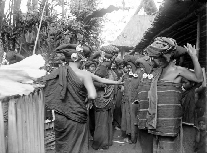
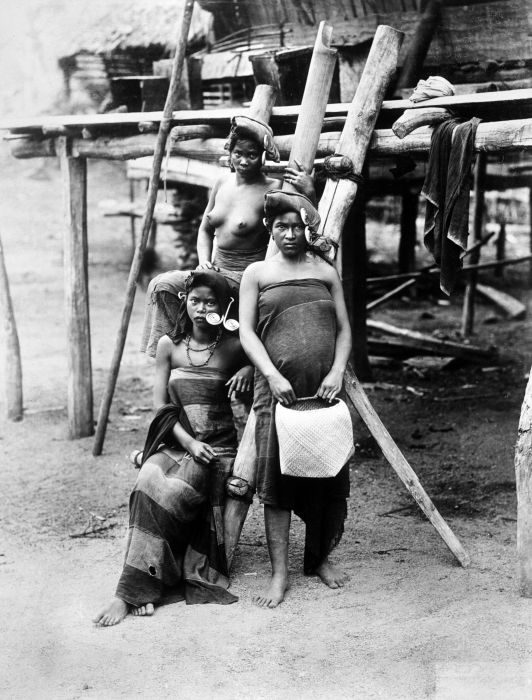
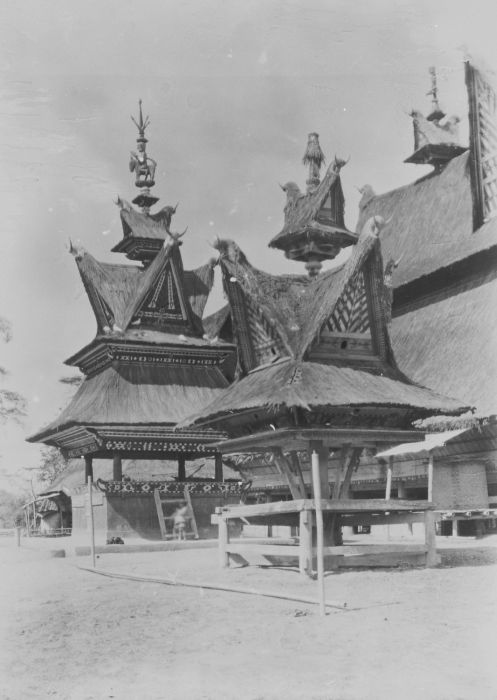
historische Bilder der Karo-Batak
-
Tanzende Karo-Batak Frauen mit Ohrschmuck, der padung padung genannt wird
-
Gruppenbild von Karo Batak, die Reis zerstossen
-
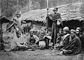
Eine Gruppe von Karo-Batak
-

Karo-Frauen
-
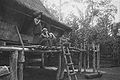
Vor der Haustür
-
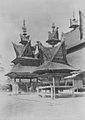
Totenkopf-Haus
-

Markt in Berastagi
Kategorien:- Ort in Indonesien
- Sumatra
- Sumatera Utara


Wikimedia Foundation.