- Kapowairua
-
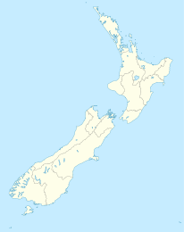
Kapowairua Koordinaten 34° 26′ S, 172° 52′ O-34.432247222222172.86395Koordinaten: 34° 26′ S, 172° 52′ O Region Northland Distrikt Far North Distrikt Kapowairua ist eine kleine Siedlung in der Region Northland auf der Nordinsel Neuseelands.
Sie liegt am Ostende der Spirits Bay gelegen, und ist damit die nördlichste Siedlung Neuseelands, sieht man von einer ständig bemannten Station auf Raoul Island ab. Der Ort ist von Waitiki Landing am State Highway 1 erreichbar. Die nächste größere Siedlung ist Te Kao etwa 35 km südlich, die nächstgelegene Stadt Kaitaia.
Einzelnachweise
- New Zealand Travel Atlas, Wise Maps Auckland. ISBN 0-908794-47-9
Kategorien:- Ort in der Region Northland
- Northland (Region)
Wikimedia Foundation.

