Lake Ianthe

Lake Ianthe
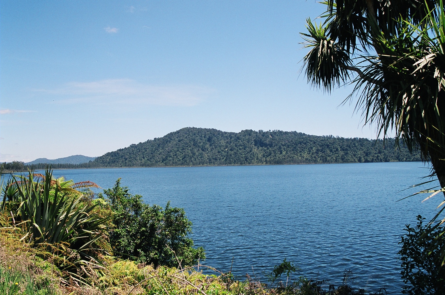
Lake Ianthe
Lake Ianthe, Dezember 2000
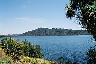
Geographische Lage Westland-Distrikt, West Coast, Neuseeland
Abfluss Wanganui River
Größere Städte in der Nähe Pukekura, Hari Hari
Daten
Koordinaten 43° 3′ 0″ S, 170° 37′ 0″ O-43.05170.61666666667Koordinaten: 43° 3′ 0″ S, 170° 37′ 0″ O
Lake Ianthe (Neuseeland)
Lake Ianthe

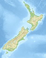
Lake Ianthe ist ein See an der Westküste der neuseeländischen Südinsel. Eine Reihe von kleinen Bächen fließt in den See, der in den Wanganui River mündet. Er liegt nahe an der Küste der Tasmansee und den ländlichen Siedlungen Pukekura und Hari Hari. Der State Highway 6 verläuft am östlichen Ufer des Sees, auf der Strecke zwischen Ross und dem Franz-Josef-Gletscher.

Der See ist ein beliebtes Ziel für Bootsfahrten, zum Schwimmen und Forellen-Angeln.


Wikimedia Foundation.

Игры ⚽ Нужно решить контрольную?

Schlagen Sie auch in anderen Wörterbüchern nach:

  • Lake Ianthe — Infobox lake lake name = Lake Ianthe image lake = caption lake = image bathymetry = caption bathymetry = location = Westland District, West Coast Region, South Island coords = coord|43|03|S|170|37|E|region:NZ type:waterbody|display=inline,title… …   Wikipedia

  • List of dual place names in New Zealand — The agreed dual name of Te Koko o Kupe / Cloudy Bay remembers both the Māori and British explorations of New Zealand. Many official place names in New Zealand are dual names, incorporating both the original Māori place names and the English names …   Wikipedia

  • New Zealand State Highway 6 — Straßenschild des SH 6 Lage des SH 6 auf der Südinsel …   Deutsch Wikipedia

  • Parasitism — This article is about relationship between organisms. For other uses, see Parasite (disambiguation). Brood parasitism is a form of parasitism Parasitism is a type of symbiotic relationship between organisms of different species where one organism …   Wikipedia

  • Ross Branch — The Ross Branch, now known as the Hokitika Branch (and officially as the Hokitika Industrial Line), is a branch line railway that forms part of New Zealand s national rail network. It is located in the Westland District of the South Island s West …   Wikipedia

  • Haast Pass — Infobox Mountain Pass Name = Haast Pass Photo = NZ Haast P.png Caption = Location of Haast Pass Elevation = Location = NZL Range = Southern Alps Coordinates = Topographic Traversed by = State Highway 6Haast Pass is a mountain pass in the Southern …   Wikipedia

  • Ross, New Zealand — Infobox Settlement name = Ross population total = 291 population as of = 2006 subdivision type = Country subdivision name = New Zealand subdivision type1= Region subdivision name1= West Coast subdivision type2= District subdivision name2=… …   Wikipedia

  • Wanganui River — This article is about the Wanganui River in the South island of New Zealand. For the river of the southwestern North Island, formerly called the Wanganui, see Whanganui River The Wanganui River is located in the western South Island of New… …   Wikipedia

  • Pukekura — is the name of two localities in New Zealand. A possible translation of the name from Māori to English is blue hill .The northern Pukekura is located just south of Cambridge in the Waikato region of the North Island.The southern Pukekura is… …   Wikipedia

  • Walter Savage Landor — (30 January 1775 – 17 September 1864) was an English writer and poet. His best known works were the prose Imaginary Conversations, and the poem Rose Aylmer, but the critical acclaim he received from contemporary poets and reviewers was not… …   Wikipedia

Share the article and excerpts

Direct link
Do a right-click on the link above
and select “Copy Link”